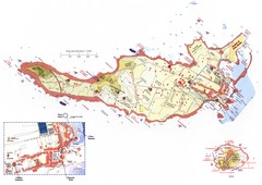
Ventotene Tourist Map
Tourist map of island of Ventotene, Italy. Also shows Santo Stefano island. Shows points of...
953 miles away
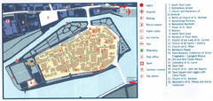
Trogir Tourist Map
Tourist map of old island town Trogir, Croatia. Shows points of interest.
957 miles away
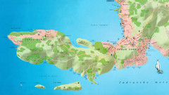
Okrug Donji and Okrug Gornji Tourist Map
Tourist map of Okrug Donji, Croatia and Okrug Gornji, Croatia
957 miles away
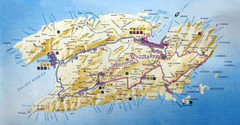
Vis Island Map
970 miles away
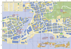
Alesund Town Map
Map of Alesund, Norway town center. Shows tourist points of interest. Inset shows location on...
972 miles away

Hvar Island Map
Nautical map of the island of Hvar. Town of Sucuraj highlighted.
992 miles away

Island of Hvar Map
Map of the Island Hvar, Croatia showing roads and cities.
992 miles away
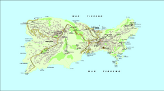
Capri Tourist Map
Tourist map of island of Capri, Italy
995 miles away
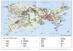
Capri Tourist Map
Tourist map of island of Capri, Italy. Shows roads, hotels, beaches, and other points of interest...
996 miles away
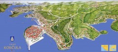
Korcula Tourist Map
Panoramic tourist map of town of Korcula, Croatia and surroundings. From korculainfo.com: "...
1015 miles away
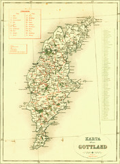
Gotland Island Map
Largest island in Sweden
1032 miles away
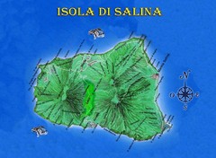
Isola di Salina Map
Island map of Isola di Salina, off the north coast of Sicily. Shows volcanoes and towns of Leni...
1115 miles away
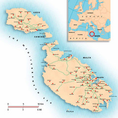
Malta Map
Overview map of Malta with detail of main cities
1237 miles away
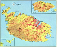
Malta Map
1242 miles away
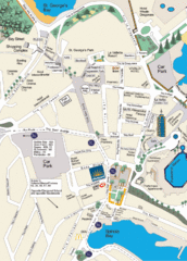
St. Julians Map
Simple map marking points of interest and roads.
1243 miles away
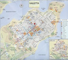
Valletta Tourist Map
Tourist map of central Valletta, Malta. Shows points of interest. Scanned
1244 miles away
Vega Island Map
1247 miles away
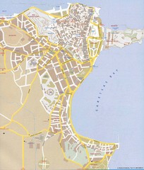
Corfu Town Map
Tourist map of town of Corfu (Kerkyra) on the island of Corfu, Greece.
1267 miles away
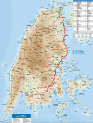
Lefkada Tourist Map
Tourist map of Ionian island of Lefkada, Greece. Shows points of interest. Also shows island of...
1336 miles away
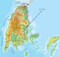
Lefkada Tourist Map
Tourist map of island of Lefkada, Greece.
1336 miles away
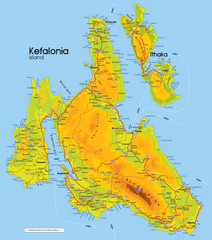
Kefalonia and Ithaka Map
Detailed elevation map of islands of Kefalonia and Ithaka (Ithaki), Greece
1353 miles away
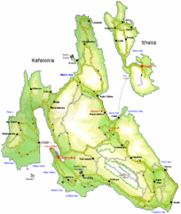
Kefalonia and Ithaka Overview Map
Overview map of the islands of Kefalonia and Ithaka (Ithaki), Greece.
1354 miles away
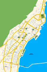
Argostoli City Map
Simple street map of island city of Argostoli, Kefalonia, Greece. Some points of interest shown.
1354 miles away
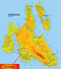
Kefalonia Map
1357 miles away
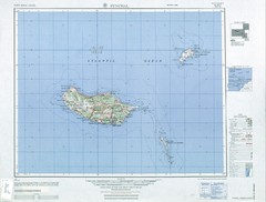
Madeira Country Map
1370 miles away
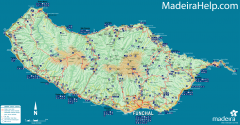
Madeira Island Map
Road map of Madeira Island, Portugal. Shows roads, trails, and rivers. Symbols for points of...
1371 miles away
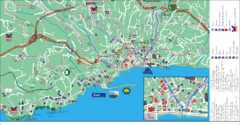
Funchal Tourist Map
Tourist map of Funchal, Madeira
1375 miles away
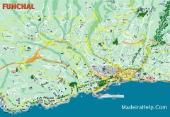
Funchal Madeira Map
Street map of Funchal, Madeira Islands, Portugal
1376 miles away
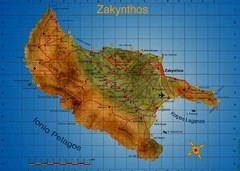
Zakynthos Tourist Map
Tourist map of island of Zakynthos, Greece. Shows points of interest. Scanned.
1385 miles away
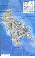
Zakynthos Island Map
Detailed map of Zakynthos Island. Scanned
1385 miles away
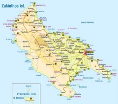
Zakinthos Tourist Map
Tourist map of island of Zakinthos, Greece. Shows symbols for tourist activities.
1386 miles away
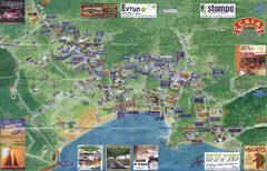
Tsilivi Tourist Map
Tourist map of town of Tsilivi, Zakynthos Island, Greece. Shows businesses. Scanned
1387 miles away
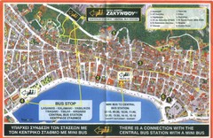
Zakynthos City Tourist Map
Tourist map of Zakynthos city on Zakynthos Island. Shows major points of interest and bus routes...
1389 miles away
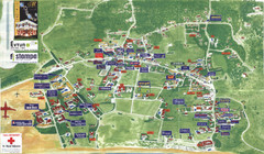
Kalamaki Zakynthos Tourist Map
Tourist map of town of Kalamaki on Zakynthos Island. Scanned.
1391 miles away
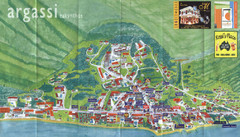
Argassi Tourist Map
Tourist map of Argassi, Zakynthos Island, Greece. Shows all businesses. Scanned.
1391 miles away
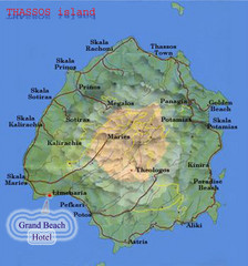
Thassos Island, Greece Tourist Map
1426 miles away
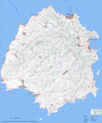
Thassos Topo Map
Topographical map of island of Thassos, Greece. Shows roads and trails.
1429 miles away
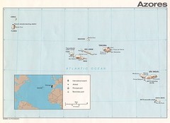
Azores Islands Map
1435 miles away
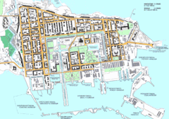
Kronstadt Tourist Map
Tourist map of Kronstadt, Russia, an island near St. Petersburg, Russia. In Russian.
1459 miles away
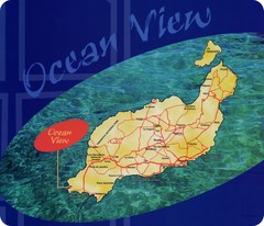
Lanzarote Map
Island road map of Lanzarote
1519 miles away

