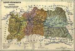
1910 Hungarian Map
Guide to area of Slovakia, previously part of Hungary
707 miles away
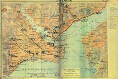
1941 Istanbul Map
719 miles away
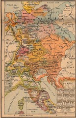
Germany Italy 1803 Map
Germany and Italy in 1803 after the Principle Decree of the Imperial Deputation
720 miles away
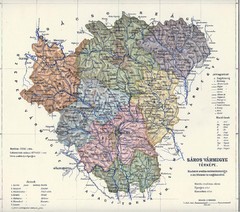
1910 Hungarian Map
Guide to historic Hungary, current Slovakia
739 miles away
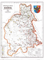
Bukovina Ethnographic Map
Ethnographic map of Bukovina, currently split between Romania and Ukraine. Map as of 1910. In...
747 miles away
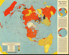
One World One War Map 1942
A map showing the lineup and strategic stakes in World War 2 as of Feb 1, 1942. From Fortune, 1942
755 miles away
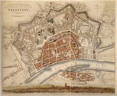
Frankfurt City Map 1840
822 miles away
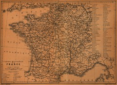
France Road Map, 1914
Road Map of France, 1914. From "Southern France Including Corsica; Handbook for Travellers...
830 miles away
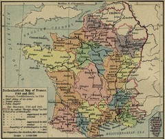
France Ecclesiastical Map 1789-1802
Shows monastic establishments in 1789 and dioceses/archbishoprics 1789 and 1802. From The...
830 miles away
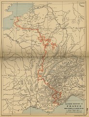
Wars of France and the Empire - 1521-1529...
830 miles away
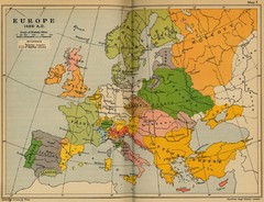
Europe 1490 Historical Map
830 miles away
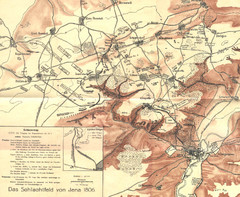
1806 Jena, Germany Map
Historic guide to Jena, Germany in German
830 miles away
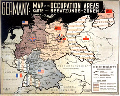
Occupation Areas of Germany after 1945 Map
This was an actual poster to be shown in the occupied Germany after the WWII.
859 miles away
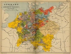
Germany 1519 Historical Map
859 miles away
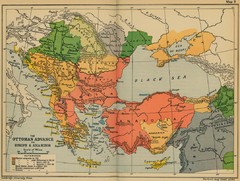
The Ottoman Advance of Europe and Asia Minor Map
869 miles away
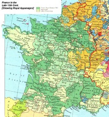
France Late 15th Century Map
France in the Late 15th Century (showing Royal Appanages)
879 miles away
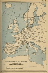
Universities of Europe Historical Map
892 miles away
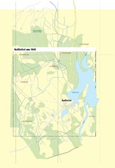
Naßlettel Map
902 miles away
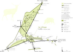
Chateau Chambord Estate Map
Estate map of the famous Chateau Chambord. Largest Chateau in the Loire River Valley.
909 miles away
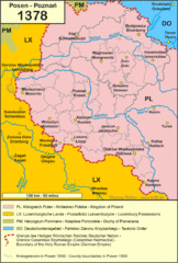
1378 Posen Map
911 miles away
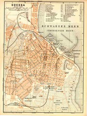
1905 Odessa Map
Odessa City center map -1905
915 miles away
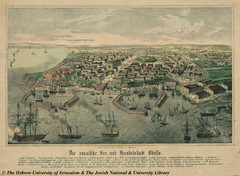
1850 Odessa City Map
Odessa City center map, hand drawn
915 miles away
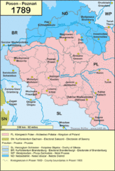
1789 Poland Map
Polish kingdoms and districts in 1789
919 miles away
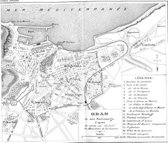
Old Oran City Map
Cool old map of Oran, Algeria.
921 miles away
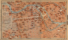
Berlin 1910 Map
922 miles away
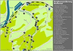
Muttental Bergbauwanderweg Map
930 miles away
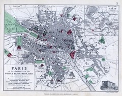
Paris Historical Map
Map of Paris at the Outbreak of the French Revolution in 1789 with colors denoting parks and places...
931 miles away
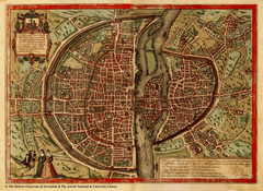
1569 Paris Map
Historic map of Paris showing city walls and farms
931 miles away
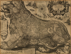
Jodocus Hondius’ Map of Belgium as a Lion...
Jodocus Hondius’ Map depicting Belgium as a Lion.
934 miles away
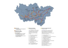
Ruhrgebiet Industriekultur Map
942 miles away
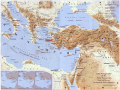
Roman Empire Historical Map
957 miles away
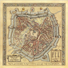
Münster City Map 1636
957 miles away
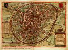
Medieval Brussels Map
967 miles away
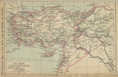
Asia Minor Under the Greeks and Romans Reference...
Guide to Asia Minor under Greek and Roman control
976 miles away
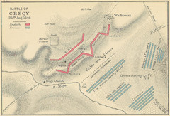
Battle of Crecy Map
Battlefield map of Crecy, France, August 28th 1346 during the Hundred Years War.
1011 miles away
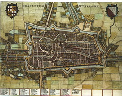
Historic map of Utrecht in 1652
1018 miles away
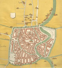
Haarlem City Map
Haarlem city center map from 1550
1046 miles away
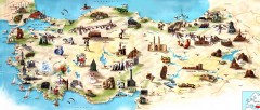
Turkey Tourist Map
Overview map of Turkey with drawings for major tourist attractions and structures.
1055 miles away
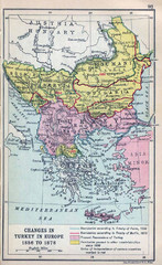
Balkan Peninsula Historical Map
Border changes around Turkey in Europe from 1856 to 1878.
1055 miles away
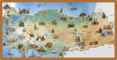
Cartoonish map of Turkey
1064 miles away

