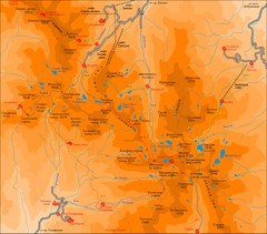
Pirin Mountains Chalet Map
Map of Pirin Mountains in Pirin National Park, near Bansko, Bulgaria. Shows peaks and mountain...
3244 miles away
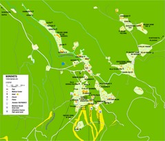
Borovets Map
Map of Borovets ski resort in Bulgaria.
3262 miles away
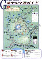
Mt. Fuji Road and Trail Map
Guide Map of Traffic on Mt. Fuji
3290 miles away
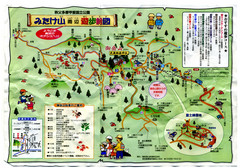
Mt. Mitake Hiking Map
Tourist, hiking map for Mt. Mitake.
3307 miles away

Shimoda Area Tourist Map
Places of interest, hiking.
3310 miles away
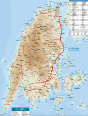
Lefkada Tourist Map
Tourist map of Ionian island of Lefkada, Greece. Shows points of interest. Also shows island of...
3420 miles away
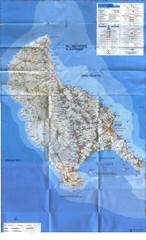
Zakynthos Island Map
Detailed map of Zakynthos Island. Scanned
3425 miles away
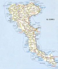
Corfu Guide Map
3447 miles away

Island of Hvar Map
Map of the Island Hvar, Croatia showing roads and cities.
3566 miles away
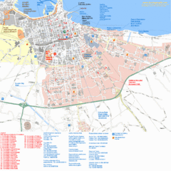
Bari Tourist Map
Tourist map of Bari, Italy. Shows consulates and points of interest.
3586 miles away
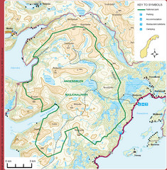
Anderdalen National Park Map
Topo map of Anderdalen National Park on Berg Senja, Norway
3598 miles away
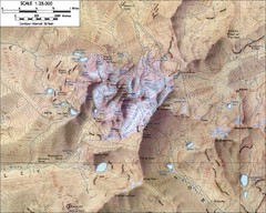
Mt. Kenya Topo Map
Topographical map of Mt. Kenya, the second highest mountain in Africa at 17058 ft
3601 miles away
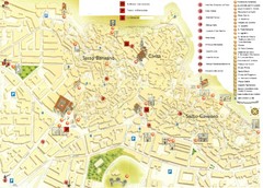
Matera Tourist Map
Tourist map of Matera, Italy. Shows points of interest.
3606 miles away
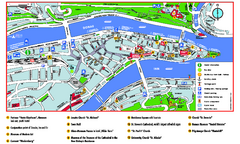
Passau Tourist Map
Tourist map of Passau, Germany. Shows points of interest. In English.
3672 miles away
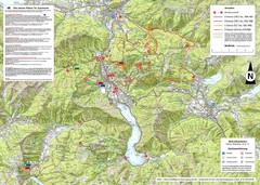
Central Austria Hiking Map
Large map of hiking and emergency services.
3673 miles away
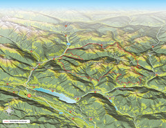
Nockberge National Park Map
Outline map of Nockberge National Park, Austria in the summer. Shows surrounding towns.
3678 miles away
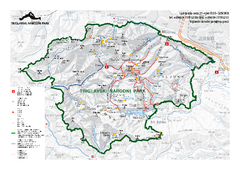
Triglav National Park Map
Triglav National Park is the only Slovenian national park. The park was named after Triglav, the...
3681 miles away
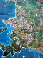
Rovinj Tourist Map
Tourist map of Rovinj, Croatia. Map is based on aerial photo.
3699 miles away
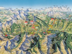
Saalbach Hinterglemm Summer Hiking Map
Summer panorama map of Saalbach and Hinterglemm Austria area. Shows trails, lifts, huts, and peaks.
3723 miles away
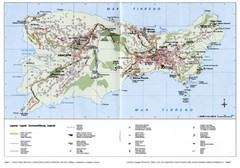
Capri Tourist Map
Tourist map of island of Capri, Italy. Shows roads, hotels, beaches, and other points of interest...
3729 miles away
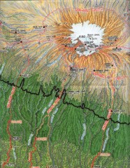
Kilimanjaro Climbing Route Map
Hand-drawn map shows major climbing routes on the southern side of Mt. Kilimanjaro, Tanzania...
3736 miles away
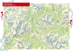
Cortina d'Ampezzo Hiking Map
Summer hiking map of the Cortina d'Ampezzo, Italy area in the heart of the Dolomite Mountains...
3753 miles away
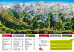
Alta Pusteria Summer Map
Panoramic summer hiking map of the Alta Pusteria, Italy, in the South Tyrol. Shows towns...
3754 miles away

Arabba Corvara Pedraces Summer Map
Summer map of Alta Badia region in Italian Dolomites
3766 miles away
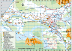
Selva Gardena Tourist Map
Tourist map of Selva Gardena, Italy, a popular skiing and hiking destination in the Italian Alps.
3771 miles away
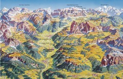
Val Gardena Summer Trail Map
Summer panoramic trail map of the Val Gardena, Italy area in the heart of the Dolomite Mountains...
3772 miles away
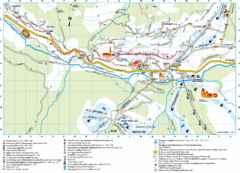
Santa Cristina Tourist Map
Tourist map of town of Santa Cristina Val Gardena, Italy. Santa Cristina lies on the sunny side of...
3773 miles away
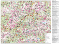
Val di Fassa Hiking Map
Hiking trail map of the Val di Fassa, Italy region. Highly detailed.
3775 miles away
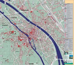
Bamberg City Map
City map of Bamberg, Germany
3775 miles away
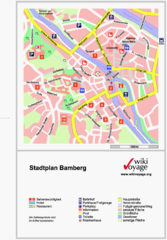
Bamberg Tourist Map
Tourist map of downtown Bamberg
3775 miles away
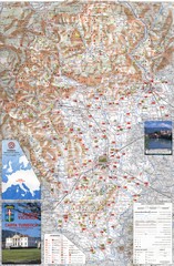
Vicenza Tourist Map
Tourist map of region around Vicenza, Italy. Shows points of interest. In Italian. Scanned.
3792 miles away
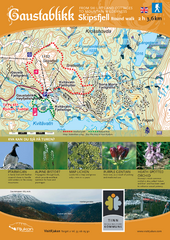
Skipsfjellet Hiking Map
Hiking trail map of Skipsfjell, Norway near Rjukan, Norway. Shows moderate 2 hour loop hike and...
3797 miles away
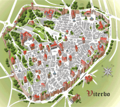
Viterbo Tourist Map
Tourist map of central Viterno, Italy.
3809 miles away
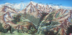
Sulden Trafoi Summer Hiking Map
Summer hiking route map of Sulden (Solda) Italy, Trafoi, Italy and Stelvio, Italy. Shows hiking...
3830 miles away
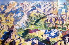
Bormio Panorama Map
Panorama tourist map of Bormio, Italy. Shows Ortler Alps in distance. From photo.
3836 miles away
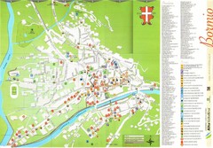
Bormio Tourist Map
Tourist map of town of Bormio, Italy. Legend of all streets and services.
3837 miles away
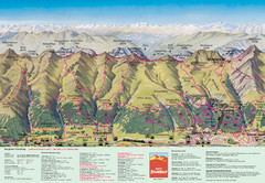
Davos Schatzalp Summer Trail Map
Trail map showing summer trails and lifts at Davos Schatzalp in Davos, Switzerland.
3858 miles away
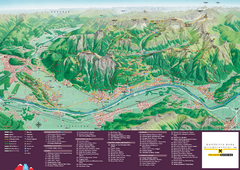
Liechtenstein Tourist Map
Tourist map of the country of Liechtenstein. Panoramic view shows all towns, trails, and mountains.
3866 miles away

