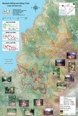
Cedar Hill State Park Mountain Biking and Hiking...
Shows mountain biking and hiking trails in Cedar Hill State Park. Shows 3 loops with profiles and...
402 miles away
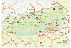
Great Smokey Mountains National Park Trail Map
Hiking trails.
403 miles away
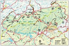
Great Smoky Mountains National Park - Park map
Official park map of Great Smoky Mountains National park. Shows location of all park roads...
404 miles away
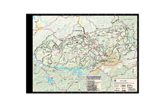
Great Smoky Mountains National Park - Trail map
Official trail map of Great Smoky Mountains National park. Shows all trails, park roads, visitor...
404 miles away
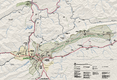
Cumberland Gap National Historical Park Official...
Official NPS map of Cumberland Gap National Historical Park in Virginia-Tennessee-Kentucky. Map...
411 miles away
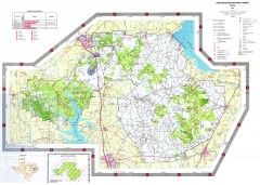
Sam Houston National Forest Map
US Forest Service map of Sam Houston National Forest. Shows locations of campgrounds, facilities...
417 miles away
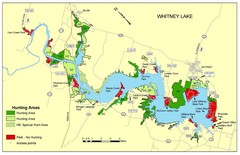
Lake Whitney Tourist Map
Places of interest and activities.
445 miles away
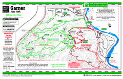
Garner, Texas State Park Hiking Trail Map
447 miles away
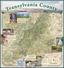
Transylvania County Tourism Development Map
Transylvania County tourist map, showing all points of interest including hiking and picnic areas.
456 miles away
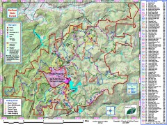
DuPont State Forest Trail map
Trail map of DuPont State Forest. Shows all trails with mileages. From dupontforest.com: "...
459 miles away
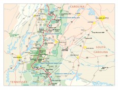
Appalachian Trail in North Carolina Map
Appalachian Trail in North Carolina. Shows major summits, National Forests, and hiking clubs.
472 miles away
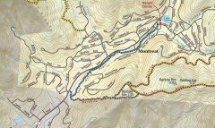
Montreat trail map
Detailed guide to the trail system surrounding the village of Montreat, NC.
475 miles away
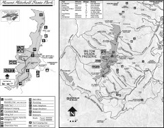
Mount Mitchell State Park map
Official map of Mt. Mitchell State Park in North Carolina. Park contains the 6,684 ft summit of...
477 miles away
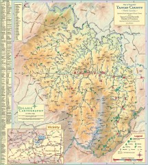
Yancey County Chamber of Commerce Map
Map of Yancey County, North Carolina. Shows all public roads, communities, hiking trails and picnic...
478 miles away
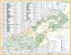
Pisgah National Forest and Nantahala National...
Pisgah National Forest and Nantahala National Forest recreation map. Contains list of all...
478 miles away
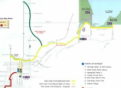
Buck Creek Trail Map
505 miles away
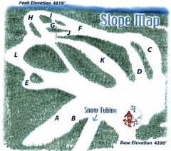
Hawksnest Golf & Ski Resort Ski Trail Map
Trail map from Hawksnest Golf & Ski Resort.
510 miles away
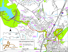
Hiking and Biking Trails, Georgetown, Texas Map
Map of hiking and biking trails in Georgetown, Texas. Also shows parks in the area.
510 miles away
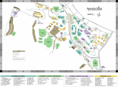
Appalachian State University Campus Map
Campus map of Appalachian State University in Boone, NC
512 miles away
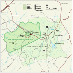
Kings Mountain National Military Park Official Map
Official NPS map of Kings Mountain National Military Park in South Carolina. Open Daily 9:00 a.m...
527 miles away
Blue Ridge Parkway Official Map
Official NPS map of the Blue Ridge Parkway. The Parkway meanders 469 miles through Virginia and...
571 miles away
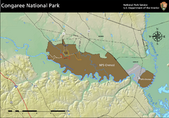
Congaree National Park Official Park Map
Official NPS map of Congaree National Park. Map shows all areas. Congaree National Park is open...
574 miles away
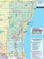
Ozaukee County Interurban Trail Map
Map of on and off trail key birding spots
581 miles away
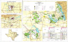
Texas National Forests & Grasslands Map
US Forest Service Pocket Guide to National Forests and Grasslands in Texas. National Forests...
584 miles away
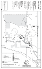
Lake Louise State Park Map
Map of park with detail of trails and recreation zones
588 miles away
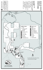
Beaver Creek Valley State Park Map
Map of park with detail of trails and recreation zones
590 miles away
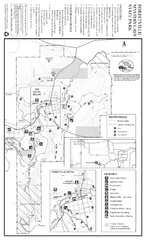
Forestville/Mystery Cave State Park Winter Map
Winter map of park with detail of trails and recreation zones
593 miles away
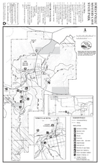
Forestville/Mystery Cave State Park Map
Map of park with detail of trails and recreation zones
593 miles away
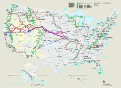
National Trails System Map
Map of all US National Scenic Trails and National Historic Trails. Shows all National Park System...
594 miles away
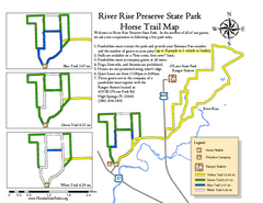
River Rise Preserve State Park Horse Trail Map
Map of horse trails throughout preserve
596 miles away
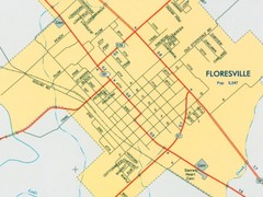
Floresville City Map
Street map of Floresville
602 miles away
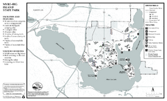
Myre-Big Island State Park Winter Map
Winter seasonal map of park with detail of trails and recreation zones
603 miles away
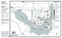
Myre-Big Island State Park Summer Map
Summer seasonal map of park with detail of trails and recreation zones
603 miles away
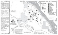
Great River Bluffs State Park Winter Map
Winter season map of park with detail of trails and recreation zones
609 miles away
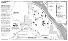
Great River Bluffs State Park Summer Map
Summer season map of park with detail of trails and recreation zones
609 miles away
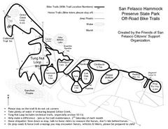
San Felasco Hammock Preserve State Park Bike...
Map of bike trails throughout preserve
610 miles away
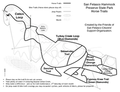
San Felasco Hammock Preserve State Park Horse...
Map of horse trails throughout preserve
610 miles away
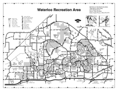
Waterloo State Recreation Area Map
The park is over 20,000 acres and has 4 campgrounds, beaches, picnic areas, 11 fishing lakes...
611 miles away
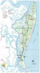
Cumberland Island Map
Map of Cumberland Island, including hiking trails and campgrounds
613 miles away
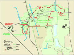
Guilford Courthouse National Military Park...
Official NPS map of Guilford Courthouse National Military Park in North Carolina. Open All Year 8...
614 miles away

