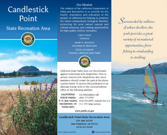
Candlestick Point Recreation Area Map
Map of park with detail of trails and recreation zones
73 miles away
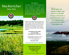
MacKerricher State Park Map
Map of park with detail of trails and recreation zones
73 miles away
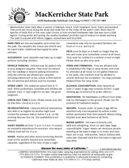
MacKerricher State Park Campground Map
Map of campground region of park with detail of trails and recreation zones
74 miles away
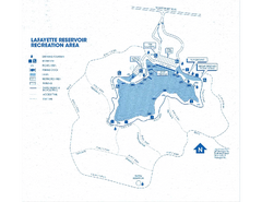
Lafayette Reservoir Recreation Area Map
74 miles away
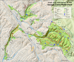
Sausal Creek Watershed Trail Map
Trail map of the Sausal Creek Watershed in Oakland, California. Show trails in Joaquin Miller Park...
74 miles away
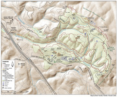
Joaquin Miller Park Map
Trail map of Joaquin Miller Park in Oakland, California. 500 acre park 9 miles from downtown...
75 miles away
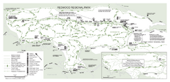
Redwood Regional Park Map
Trail map of Redwood Regional Park in Oakland, California. Shows hiking, horse, and bike trails.
76 miles away
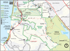
Sweeney Ridge Map
Trail map of Sweeney Ridge, part of the Golden Gate National Recreational Area.
76 miles away

San Pedro Valley Park Map
Park map of San Pedro Valley County Park in San Mateo County, California.
77 miles away
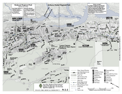
Anthony Chabot Regional Park Map - North
Trail map of the north section of Anthony Chabot Regional Park in the East Bay Hills.
79 miles away
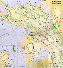
Shell Ridge Open Space Trail Map
Trail map of Shell Ridge Open Space, Walnut Creek's largest open space unit, with trails for...
79 miles away
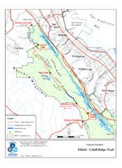
Fifield-Cahill Ridge Trail Map
Trail map of the Fifield-Cahill Ridge Trail in the San Francisco Peninsula Watershed.
81 miles away
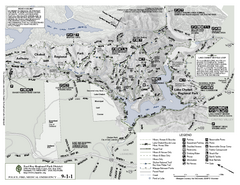
Anthony Chabot Regional Park Map - South
82 miles away
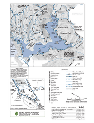
Lake Chabot Trail Map
82 miles away
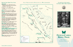
Fifield-Cahill Ridge Trail Map
Trail map and brochure of the Fifield-Cahill Ridge Trail in the San Francisco Peninsula Watershed.
82 miles away
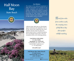
Half Moon Bay State Beach Map
Map of beach with detail of trails and recreation zones
84 miles away
Half Moon Bay State Beach Campground Map
Map of beach with detail of trails and recreation zones
84 miles away

San Mateo County Mid-County Trail Map
Trail map of mid-county trails in San Mateo County, California.
84 miles away
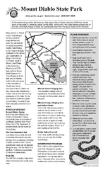
Mount Diablo State Park Campground Map
Map of park with detail of trails and recreation zones
84 miles away
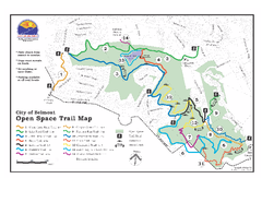
Water Dog Lake Park Trail Map
Trail map of Water Dog Lake Park. Open to mountain biking.
87 miles away
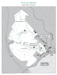
Pulgas Ridge Open Space Preserve Map
Trail map of Pulgas Ridge Open Space Preserve. 366 acres and 6 miles of trails
88 miles away
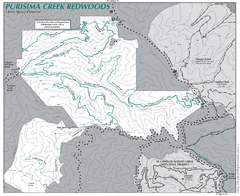
Purisima Open Space Preserve Map
Trail map of Purisima Open Space Preserve. Shows all mountain biking, hiking, and horseback riding...
90 miles away
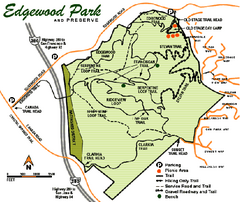
Edgewood County Park Trail Map
Trail map of Edgewood Park and Preserve in Redwood City, California.
90 miles away
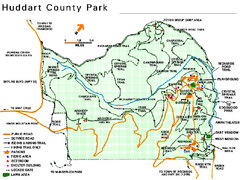
Huddart County Park Map
Trail map of Huddart County Park near Woodside, California.
91 miles away
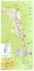
Pleasanton Ridge Regional Park Map
92 miles away
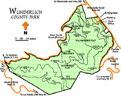
Wunderlich County Park Map
Trail map of Wunderlich County Park near Woodside, California. "The Alambique Trail offers a...
93 miles away
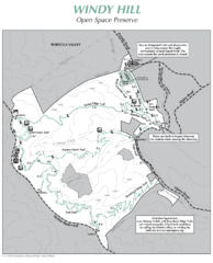
Windy Hill Open Space Preserve Map
Trail map of Windy Hill Open Space Preserve. 1312 acres and 12.2 miles of trails
97 miles away
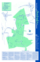
Arastradero Preserve Map
Trail map of Arastradero Preserve shows 10.25 miles of trails.
98 miles away
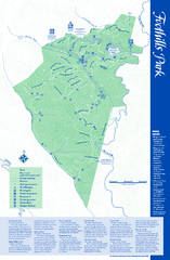
Palo Alto Foothills Park Map
Trail map of Palo Alto Foothills Park. 1400 acres and 15 miles of trails.
99 miles away
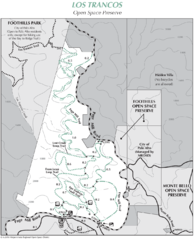
Los Trancos Open Space Preserve Map
Trail map of Los Trancos Open Space Preserve. Shows 274 acres, 5.2 miles of trails.
100 miles away
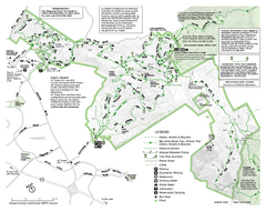
Mission Peak Preserve Map
Park map of Mission Peak Regional Preserve in Fremont, California. Topo map shows trails and trail...
101 miles away
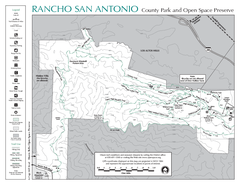
Rancho San Antonio Open Space Preserve Map
Park map of Rancho San Antonio Open Space Preserve near Los Altos, CA. Encompasses 3800 acres and...
101 miles away
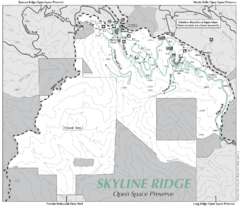
Skyline Ridge Open Space Preserve Map
Trail map of Skyline Ridge Open Space Preserve. Covers 2143 acres and 10.9 miles of trails
102 miles away
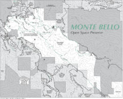
Monte Bello Open Space Preserve Map
Trail map of Monte Bello Open Space Preserve. Covers 3,142 acres and 15.5 miles of trails
102 miles away
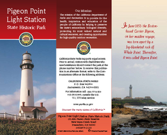
Pigeon Point Light Station State Historic Park Map
Map of park with detail of trails and recreation zones
103 miles away
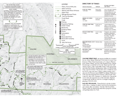
Sunol Regional Wilderness Trail Map - East
Trail map of eastern portion of Sunol Regional Wilderness in Sunol, California.
103 miles away
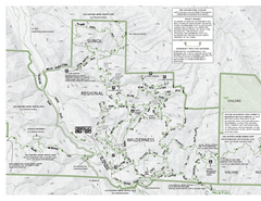
Sunol Regional Wilderness Trail Map - West
Trail map of western portion of Sunol Regional Wilderness in Sunol, California.
103 miles away
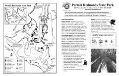
Portola Redwoods State Park Campground Map
Map of campground region of park with detail of trails and recreation zones
104 miles away
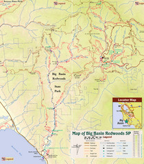
Big Basin Redwoods State Park Trail Map
Topographical trail map of Big Basin Redwoods State Park. Shows roads, trails, natural and other...
107 miles away
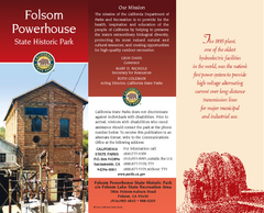
Folsom Powerhouse State Historic Park Map
Map of park with detail of trails and recreation zones
113 miles away

