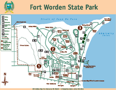
Fort Worden State Park Map
Map of park with detail of trails and recreation zones
97 miles away
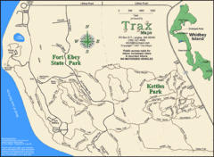
Ft Ebey/Kettle Park Trail Map
Trail map of Fort Ebey Park and Kettle Park, Washington
98 miles away
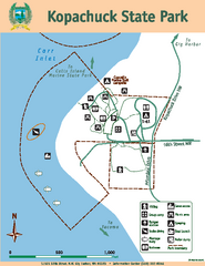
Kopachuck State Park Map
Map of island with detail of trails and recreation zones
98 miles away
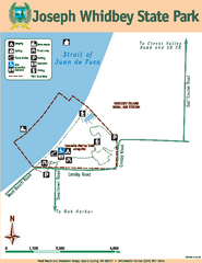
Joseph Whidbey State Park Map
Map of park with detail of trails and recreation zones
98 miles away
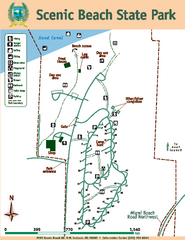
Scenic Beach State Park Map
Map of park with detail of trails and recreation zones
99 miles away
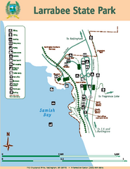
Larrabee State Park Map
Map of island with detail of trails and recreation zones
100 miles away
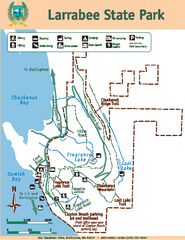
Larrabee State Park Map
Map of island with detail of trails and recreation zones
100 miles away
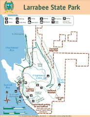
Larrabee State Park Map
Park map of Larrabee State Park, Washington.
100 miles away
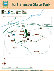
Fort Simcoe State Park Map
Map of park with detail of trails and recreation zones
102 miles away
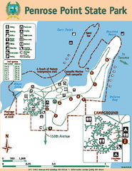
Penrose Point State Park Map
Map of park with detail of trails and recreation zones
102 miles away
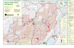
Tahuya State Forest Trail Map
Shows trails of Tahuya State Forest. Show roads, doubletrack, singletrack, and 4WD only.
105 miles away
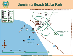
Joemma Beach State Park Map
Map of park with detail of trails and recreation zones
105 miles away
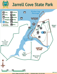
Jarrell Cove State Park Map
Map of park with detail of trails and recreation zones
107 miles away
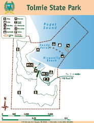
Tolmie State Park Map
Map of park with detail of trails and recreation zones
107 miles away
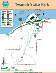
Twanoh State Park Map
Map of park with detail of trails and recreation zones
109 miles away
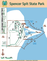
Spencer Spit State Park Map
Map of park with detail of trails and recreation zones
111 miles away
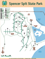
Spencer Spit State Park Map
Map of park with detail of trails and recreation zones
111 miles away
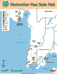
Obstruction Pass State Park Map
Map of park with detail of trails and recreation zones
111 miles away
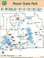
Moran State Park Map
Map of park with detail of trails and recreation zones
113 miles away
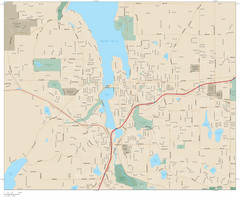
Olympia, Washington City Map
115 miles away
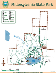
Millersylvania State Park Map
Map of park with detail of trails and recreation zones
120 miles away
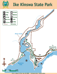
Ike Kinswa State Park Map
Map of park with detail of trails and recreation zones
121 miles away
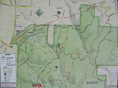
Kettle Valley Trails Map
Map of Kettle Valley Trails. Includes all trails, streets, and attractions.
121 miles away
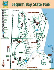
Sequim Bay State Park Map
Map of park with detail of trails and recreation zones
123 miles away
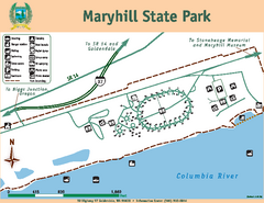
Maryhill State Park Map
Map of park with detail of trails and recreation zones
126 miles away
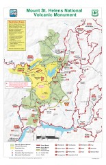
Mt. Saint Helens National Volcanic Monument...
Official recreation map showing all roads, trails, campgrounds, and other facilities. Also shows...
127 miles away
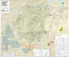
Capitol State Forest Map
129 miles away
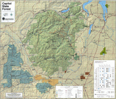
Capitol State Forest Map
Shows all trails in Capitol State Forest and surrounding area, including Lower Chehalis State...
130 miles away
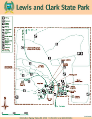
Lewis and Clark State Park Map
Map of park with detail of recreation zones and trails
133 miles away
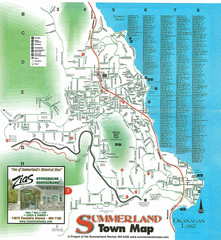
Summerland Town Map
Map of Summerland with details on outdoor-recreation locations and streets
134 miles away
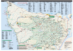
Olympic National Park wilderness campsite map
Official wilderness campsite map of Olympic National Park. Shows roads, trails, visitor...
136 miles away
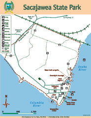
Sacajawea State Park Map
Map of park with detail of trails and recreation zones
137 miles away
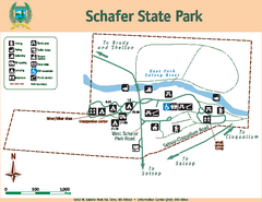
Schafer State Park Map
Map of park with detail of trails and recreation zones
137 miles away
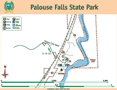
Palouse Falls State Park Map
Map of park with detail of trails and recreation zones
142 miles away
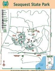
Seaquest State Park Map
Map of park with detail of trails and recreation zones
144 miles away
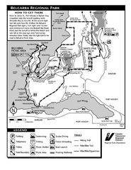
Belcarra Regional Park Trail Map
Trail map of Belcarra Regional Park, BC
144 miles away
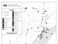
Golden Ears Provincial Park Map
Park map of Golden Ears Provincial Park, BC. 2 pages.
145 miles away
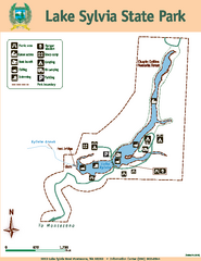
Lake Sylvia State Park Map
Map of island with detail of trails and recreation zones
146 miles away
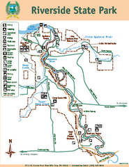
Riverside State Park Map
Map of park with detail of trails and recreation zones
148 miles away
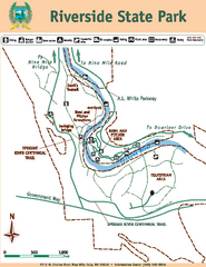
Riverside State Park Map
Map of park with detail of trails and recreation zones
148 miles away

