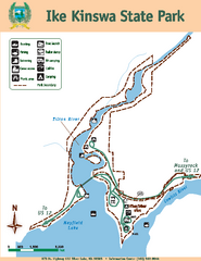
Ike Kinswa State Park Map
Map of park with detail of trails and recreation zones
282 miles away
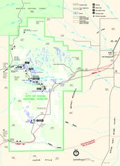
City of Rocks Park Map
This is the official Map for the reserve
282 miles away
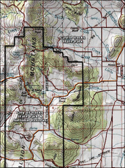
City of Rocks Topo Map
This topo map does not do justice to City of Rocks which is a wonderful reserve that is managed by...
282 miles away
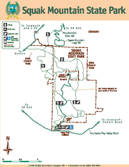
Squak Mountain State Park Map
Map of park with detail of trails and recreation zones
284 miles away
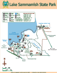
Lake Sammamish State Park Map
Map of island with detail of trails and recreation zones
286 miles away
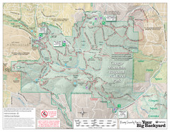
Cougar Mountain Park Trail Map
Trail map of Cougar Mountain Regional Wildland Park, part of the "Issaquah Alps"
287 miles away
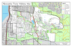
Newcastle Trails Trail Map
Trail map of existing and proposed trails in Newcastle, WA
290 miles away
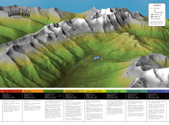
Island Lake Hiking Map
Hiking trail map of Island Lake area near Fernie, BC
291 miles away
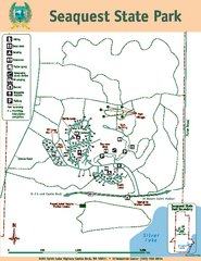
Seaquest State Park Map
Map of park with detail of trails and recreation zones
292 miles away
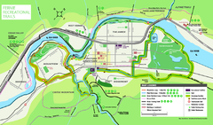
Fernie Town Trails Map
Trail map of recreational trails in and around town of Fernie, BC
292 miles away
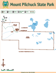
Mount Pilchuck State Park Map
Map of park with detail of trails and recreation zones
294 miles away
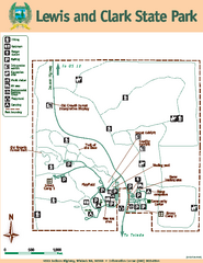
Lewis and Clark State Park Map
Map of park with detail of recreation zones and trails
295 miles away
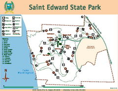
Saint Edward State Park Map
Map of park with detail of trails and recreation zones
300 miles away
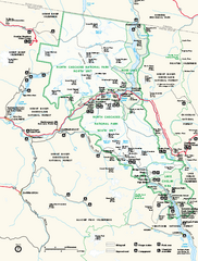
North Cascades National Park map
Official NPS map of North Cascades National Park, Washington. Shows the entire park and...
302 miles away
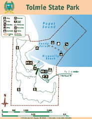
Tolmie State Park Map
Map of park with detail of trails and recreation zones
305 miles away
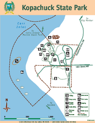
Kopachuck State Park Map
Map of island with detail of trails and recreation zones
305 miles away
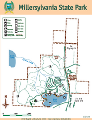
Millersylvania State Park Map
Map of park with detail of trails and recreation zones
306 miles away
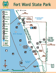
Fort Ward State Park Map
Map of park with detail of trails and recreation zones
307 miles away
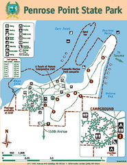
Penrose Point State Park Map
Map of park with detail of trails and recreation zones
307 miles away
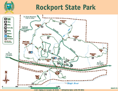
Rockport State Park Map
Map of park with detail of trails and recreation zones
307 miles away
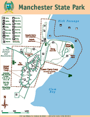
Manchester State Park Map
Map of park with detail of trails and recreation zones
307 miles away
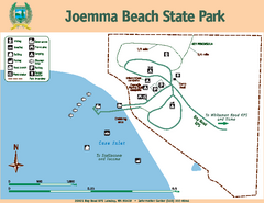
Joemma Beach State Park Map
Map of park with detail of trails and recreation zones
308 miles away
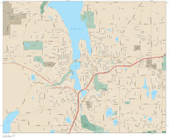
Olympia, Washington City Map
308 miles away
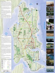
Bainbridge Island Hiking and Biking Map
Shows trails and bike routes on Bainbridge Island, Washington in the Puget Sound. Also shows...
308 miles away
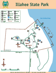
Illahee State Park Map
Map of park with detail of trails and recreation zones
310 miles away
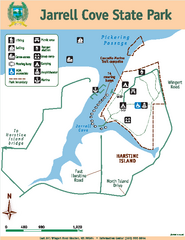
Jarrell Cove State Park Map
Map of park with detail of trails and recreation zones
313 miles away
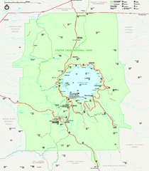
Crater Lake National Park official map
Official map of Crater Lake National Park. Shows hiking trails, elevations of peaks, roads, and...
314 miles away
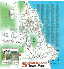
Summerland Town Map
Map of Summerland with details on outdoor-recreation locations and streets
316 miles away
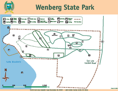
Wenberg State Park Map
Map of park with detail of trails and recreation zones
316 miles away
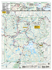
Yellowstone National Park official map
Official NPS map of Yellowstone National Park. Detail map of park with shaded relief. Established...
318 miles away
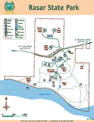
Rasar State Park Map
Map of park with detail of trails and recreation zones
318 miles away
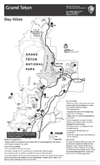
Grand Teton National Park Day Hikes Map
Shows suggested hikes and safety recommendations for day hikes in Grand Teton National Park, WY...
318 miles away
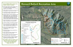
Howard Buford Recreational Area Trails Map
Map of the Howard Buford Recreational Area trails, roads, picnic areas, bathrooms, attractions.
318 miles away
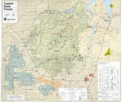
Capitol State Forest Map
318 miles away
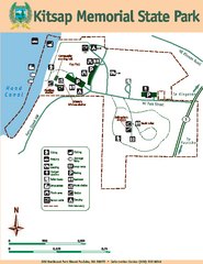
Kitsap Memorial State Park Map
Map of island with detail of trails and recreation zones
319 miles away
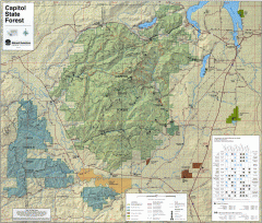
Capitol State Forest Map
Shows all trails in Capitol State Forest and surrounding area, including Lower Chehalis State...
319 miles away
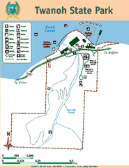
Twanoh State Park Map
Map of park with detail of trails and recreation zones
320 miles away
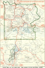
1929 Yellowstone and Grand Teton National Parks...
Map of older smaller boundaries of both national parks
320 miles away
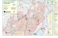
Tahuya State Forest Trail Map
Shows trails of Tahuya State Forest. Show roads, doubletrack, singletrack, and 4WD only.
321 miles away
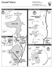
Grand Teton National Park Lakeshore Hiking Map
Shows scenic hikes around lakes such as Phelps, Jenny, Leigh and Taggart in Grand Teton National...
321 miles away

