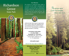
Richardson Grove State Park Map
Map of park with detail of trails and recreation zones
2331 miles away
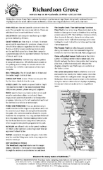
Richardson Grove State Park Campground Map
Map of campground region of park with detail of trails and recreation zones
2331 miles away
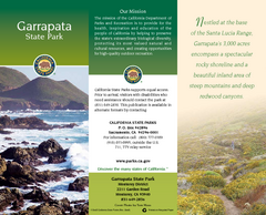
Garrapata State Park Map
Map of park with detail of trails and recreation zones
2331 miles away
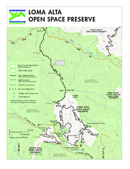
Loma Alta Preserve Map
Topographical trail map of Loma Alta Preserve in Marin County, California
2331 miles away
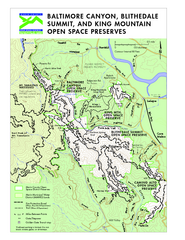
Blithedale Summit Open Space Preserve Map
Trail map of Blithedale Summit Open Space Preserve, Baltimore Canyon Open Space Preserve, and King...
2332 miles away

San Mateo County Mid-County Trail Map
Trail map of mid-county trails in San Mateo County, California.
2333 miles away
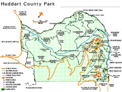
Huddart County Park Map
Trail map of Huddart County Park near Woodside, California.
2333 miles away
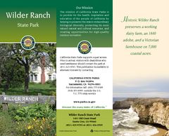
Wilder Ranch State Park Map
Map of park with detail of trails and recreation zones
2333 miles away
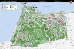
Presidio of San Francisco detail map
Detail map of the Presidio of San Francisco from NPS. Shows hiking/walking trails and POIs such as...
2333 miles away
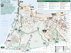
Presidio Trail and Overlook Map
Trail map of the Presidio in San Francisco. Shows 12 major trails (both existing and proposed) and...
2333 miles away
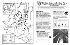
Portola Redwoods State Park Campground Map
Map of campground region of park with detail of trails and recreation zones
2333 miles away
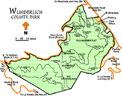
Wunderlich County Park Map
Trail map of Wunderlich County Park near Woodside, California. "The Alambique Trail offers a...
2334 miles away
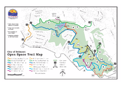
Water Dog Lake Park Trail Map
Trail map of Water Dog Lake Park. Open to mountain biking.
2334 miles away
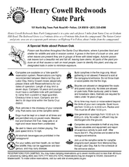
Henry Cowell Redwoods State Park Campground Map
Map of campground region of park with detail of trails and recreation zones
2334 miles away
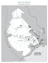
Pulgas Ridge Open Space Preserve Map
Trail map of Pulgas Ridge Open Space Preserve. 366 acres and 6 miles of trails
2334 miles away
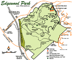
Edgewood County Park Trail Map
Trail map of Edgewood Park and Preserve in Redwood City, California.
2335 miles away
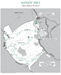
Windy Hill Open Space Preserve Map
Trail map of Windy Hill Open Space Preserve. 1312 acres and 12.2 miles of trails
2335 miles away

Mt. Burdell Open Space Preserve Map
Trail map of Mt. Burdell Open Space Preserve and Olompali State Historic Park in Novato, Marin...
2335 miles away
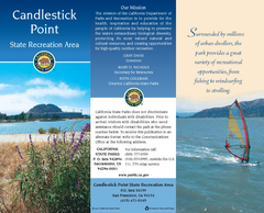
Candlestick Point Recreation Area Map
Map of park with detail of trails and recreation zones
2335 miles away
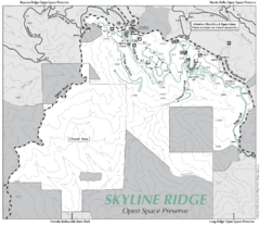
Skyline Ridge Open Space Preserve Map
Trail map of Skyline Ridge Open Space Preserve. Covers 2143 acres and 10.9 miles of trails
2336 miles away

Santa Margarita Island, Santa Venetia Marsh, and...
Park map of Santa Margarita Island Open Space Preserve, Santa Venetia Marsh Open Space Preserve...
2336 miles away
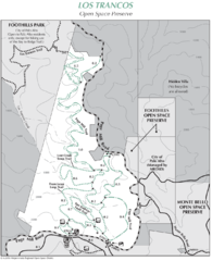
Los Trancos Open Space Preserve Map
Trail map of Los Trancos Open Space Preserve. Shows 274 acres, 5.2 miles of trails.
2337 miles away
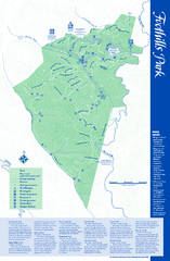
Palo Alto Foothills Park Map
Trail map of Palo Alto Foothills Park. 1400 acres and 15 miles of trails.
2337 miles away
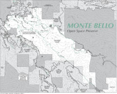
Monte Bello Open Space Preserve Map
Trail map of Monte Bello Open Space Preserve. Covers 3,142 acres and 15.5 miles of trails
2337 miles away
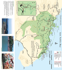
China Camp State Park Map
Trail map of China Camp State Park. Shows trails by use type and all park facilities.
2338 miles away
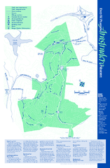
Arastradero Preserve Map
Trail map of Arastradero Preserve shows 10.25 miles of trails.
2338 miles away
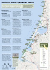
Humboldt Bay Area Beaches and Dunes Map
Humboldt Bay Beaches & Dunes Map & Guide
2338 miles away
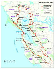
Bay Area Ridge Trail Map
Map of the Bay Area Ridge Trail. Shows completed segments through Sep 2009. "a 550+ mile...
2338 miles away
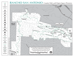
Rancho San Antonio Open Space Preserve Map
Park map of Rancho San Antonio Open Space Preserve near Los Altos, CA. Encompasses 3800 acres and...
2339 miles away
Jack London State Historic Park Map
Map of park with detail of trails and recreation zones
2342 miles away
Limeklin State Park Map
Map of park with detail of trails and recreation zones
2343 miles away
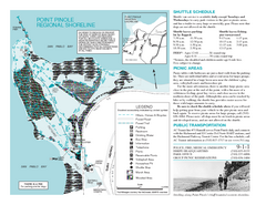
Point Pinole Regional Shoreline Map
2344 miles away
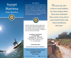
Sunset & Manresa State Beaches Map
Map of beaches and parks with detail of trails and recreation zones
2344 miles away
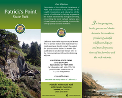
Patrick's Point State Park Map
Map of park with detail of trails and recreation zones
2345 miles away
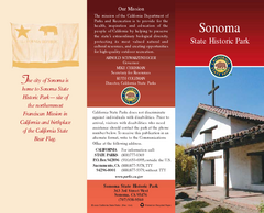
Sonoma State Historic Park Map
Map of park with detail of trails and recreation zones
2346 miles away
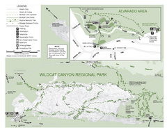
Wildcat Canyon Regional Park Map
2346 miles away
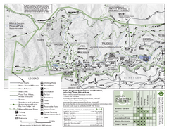
Tilden Regional Park Map - North
2347 miles away
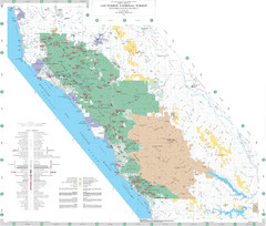
Los Padres National Forest Map - North
Overview map of the northern section of Los Padres National Forest in the Monterey Ranger District...
2347 miles away
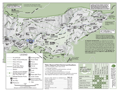
Tilden Regional Park Map - South
2347 miles away
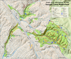
Sausal Creek Watershed Trail Map
Trail map of the Sausal Creek Watershed in Oakland, California. Show trails in Joaquin Miller Park...
2348 miles away

