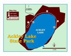
Ackley Lake State Park Map
Simple map of the State Park.
5306 miles away
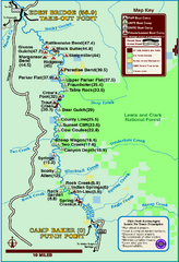
Smith River State Park Map
The Smith River is a unique 59-mile river corridor. Permits are required to float the stretch of...
5319 miles away
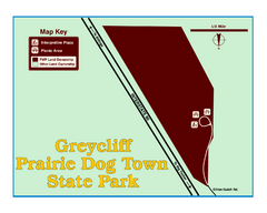
Greycliff Prairie Dog Town State Park Map
Grab your camera and hop off Interstate 90 at Greycliff to delight in the playful, curious black...
5365 miles away
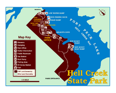
Hell Creek State Park Map
You’ll reach this campground park, 25 miles north of Jordan, through the spectacular scenery...
5384 miles away

Cooney State Park Map
Simple and clear State Park Map.
5400 miles away
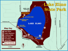
Lake Elmo State Park Map
This urban day-use park attracts visitors to swim, sailboard, and fish. A display in the Fish...
5409 miles away
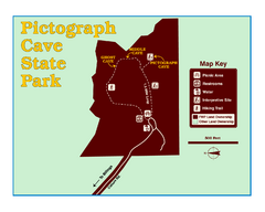
Pictograph Cave State Park Map
The 2,730-square-foot building, on the northwestern side of the existing parking lot, is designed...
5416 miles away
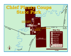
Chief Plenty Coups State Park Map
Simple and clear map of State Park.
5426 miles away
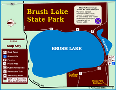
Brush Lake State Park Map
Simple and easily read map.
5431 miles away
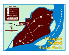
Pirogue Island State Park Map
Visitors find this isolated and undeveloped cottonwood-covered Yellowstone River island an...
5476 miles away
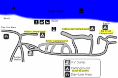
Rendezvous Beach Map
Bear Lake State Park is nestled high in the Rocky Mountains on the Utah-Idaho border. The cool...
5482 miles away
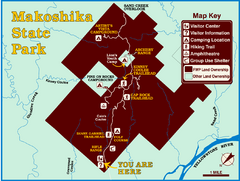
Makoshika State Park Map
To the Sioux Indians, Ma-ko-shi-ka meant bad earth or bad land. Today, as Montana’s largest...
5485 miles away
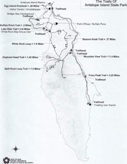
Antelope Island State Park Map
Antelope Island State Park, the largest island in the Great Salt Lake, is home to a roaming herd of...
5487 miles away
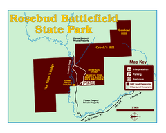
Rosebud Battlefield State Park Map
This National Historic Landmark on the rolling prairie of eastern Montana preserves the site of the...
5491 miles away
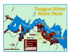
Tongue River Reservoir State Park Map
The 12-mile long reservoir is situated among scenic red shale, juniper canyons, and the open...
5502 miles away
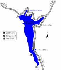
East Canyon State Park Map
East Canyon State Park is a 680-acre boating and year-round fishing delight nestled in the...
5514 miles away
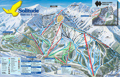
Solitude Mountain Ski Map
Clearly marked trails on this easy to read map and legend.
5527 miles away
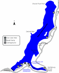
Deer Creek State Park Map
Deer Creek State Park lies in the southwest corner of beautiful Heber Valley and consistently...
5539 miles away
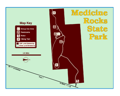
Medicine Rocks State Park Map
As the name implies, Medicine Rocks was a place of "big medicine" where Indian hunting...
5541 miles away
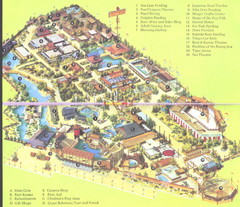
Japanese Village and Deer Park Map
Large and clear map.
5547 miles away
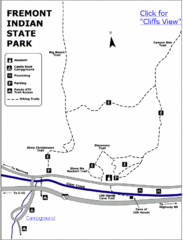
Fremont Indian State Park Map
Discover artifacts, petroglyphs, and pictographs left behind by the Fremont Indians. During...
5588 miles away
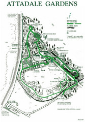
Attadale Gardens Map
Map of beautiful gardens and paths for a relaxing time. 20 acres of conifers and rhododendrons.
5601 miles away
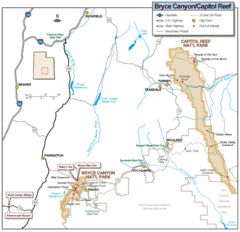
Bryce Canyon National Park Map
Roads, highways, rivers and points of interest are clearly marked on this simple map.
5638 miles away
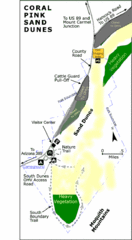
Coral Pink Sand Dunes State Park Map
Rippling arcs of rust-colored sand welcome you as you enter Coral Pink Sand Dunes State Park...
5640 miles away
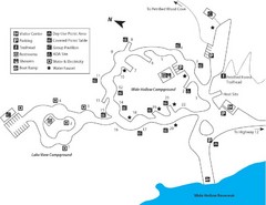
Escalante Petrified Forest State Park Map
Escalante Petrified Forest State Park is located in beautiful southern Utah, just 44 miles east of...
5653 miles away
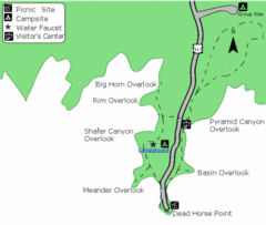
Dead Horse Point State Park Map
Stroll along the Rim Walk, towering 2,000 feet directly above the Colorado River. The mesa that is...
5698 miles away
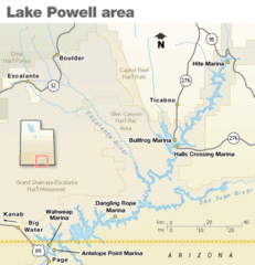
Lake Powell Area Map
Clear map marking the surrounding area of this pristine lake.
5699 miles away
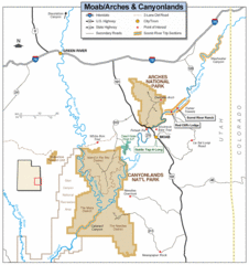
Canyonlands National Park Map
Clear map and key marking cities, rivers, highways and points of interest.
5703 miles away
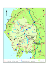
Lake District National Park Map
Detailed map marking the roads and boundaries of on of Britain's National Parks.
5730 miles away
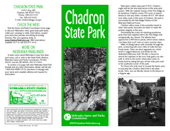
Chadron State Park Map
The majestic beauty of the Pine Ridge forms the backdrop for this great, get away from it all state...
5752 miles away
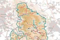
Peak District National Park Map
National Park map.
5771 miles away

University Of Phoenix Stadium Map
One of the most amazing stadiums, with the first fully retractable natural grass playing surface...
5818 miles away
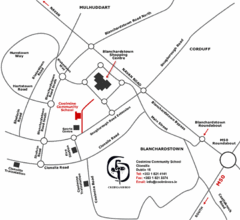
Coolmine Community School Location Map
Coolmine caters for over 1100 day-pupils, both boys and girls, aged from 12 to 18 years who live...
5862 miles away
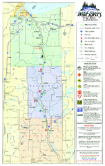
Wild Rivers Trail Map
A multitude of trails and rivers are clear to read on this map.
5911 miles away
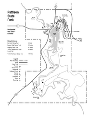
Pattison State Park Map
Great trails for a wonderfully relaxing summer vacation.
5912 miles away
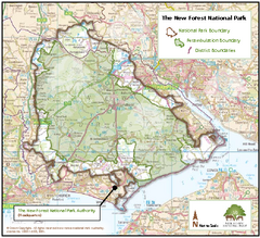
The New Forest National Park Map
Nice map with clear park boundaries.
5912 miles away
Amnicon Falls State Park Map
Marked trails, picnic sites, bridges, toilets, ect. make the hike around the beautiful Amnicon...
5914 miles away
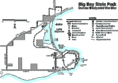
Big Bay State Park Map
Detailed map of nice hikes and stops around Big Bay State Park near Lake Superior.
5939 miles away
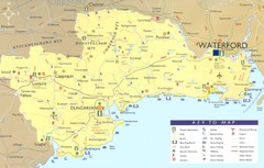
Waterford Tourist Map
This map and key allow you to find a high number of activities and points of interest in this fun...
5945 miles away

