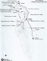
Antelope Island State Park Map
Antelope Island State Park, the largest island in the Great Salt Lake, is home to a roaming herd of...
398 miles away
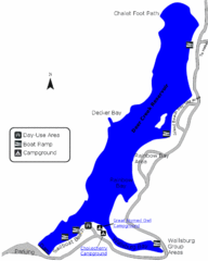
Deer Creek State Park Map
Deer Creek State Park lies in the southwest corner of beautiful Heber Valley and consistently...
402 miles away
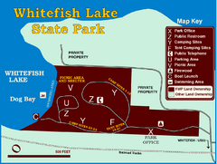
Whitefish Lake State Park Map
Although it’s right on the outskirts of Whitefish, this small park provides a mature forest...
413 miles away
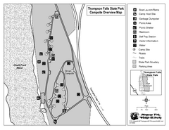
Thompson Falls State Park Map
This shaded, quiet campground is located on the Clark Fork River near the town of Thompson Falls in...
430 miles away
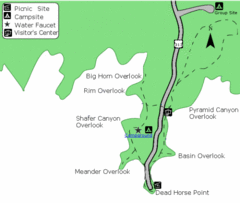
Dead Horse Point State Park Map
Stroll along the Rim Walk, towering 2,000 feet directly above the Colorado River. The mesa that is...
487 miles away
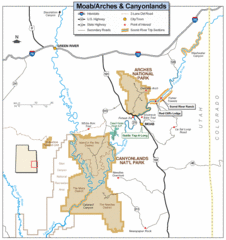
Canyonlands National Park Map
Clear map and key marking cities, rivers, highways and points of interest.
505 miles away
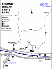
Fremont Indian State Park Map
Discover artifacts, petroglyphs, and pictographs left behind by the Fremont Indians. During...
536 miles away
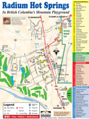
Radium Hot Springs Map
An easy to read map of this amazing hot springs area.
561 miles away
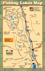
Radium Hot Springs Fishing Map
Beautiful map of the many fishing spots at this amazing site.
561 miles away
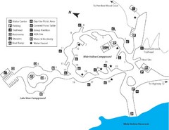
Escalante Petrified Forest State Park Map
Escalante Petrified Forest State Park is located in beautiful southern Utah, just 44 miles east of...
569 miles away
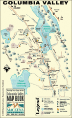
Columbia Valley Map
Easy to follow map and legend of this wilderness area.
576 miles away
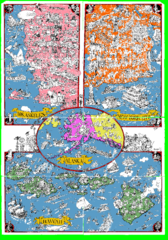
A MAD Pictorial Map of the United States - Back...
I found these raw assembled scans in a dieing torrent in 2010. Hash code...
589 miles away
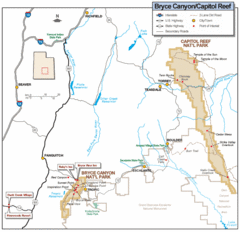
Bryce Canyon National Park Map
Roads, highways, rivers and points of interest are clearly marked on this simple map.
593 miles away
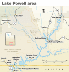
Lake Powell Area Map
Clear map marking the surrounding area of this pristine lake.
608 miles away
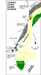
Coral Pink Sand Dunes State Park Map
Rippling arcs of rust-colored sand welcome you as you enter Coral Pink Sand Dunes State Park...
640 miles away
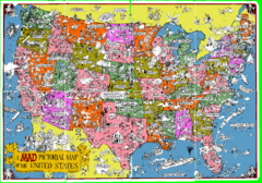
A MAD Pictorial Map of the United States - Front...
I found these raw assembled scans in a dieing torrent in 2010. Hash code...
650 miles away
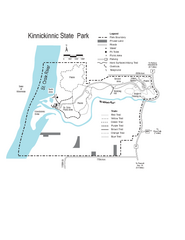
Kinnickinnic State Park Map
Map detailing hiking routes and stops along the way.
696 miles away
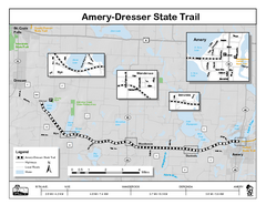
Ammery Dresser Trail Map
Easy to follow trail map.
705 miles away
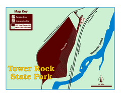
Tower Rock State Park Map
Tower Rock State Park is one of Montana's newest state parks. The 400-foot high igneous rock...
709 miles away
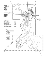
Pattison State Park Map
Great trails for a wonderfully relaxing summer vacation.
721 miles away
Amnicon Falls State Park Map
Marked trails, picnic sites, bridges, toilets, ect. make the hike around the beautiful Amnicon...
732 miles away
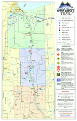
Wild Rivers Trail Map
A multitude of trails and rivers are clear to read on this map.
734 miles away
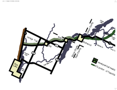
Tuscobia Map
Lakes and trails are easy to follow on this map.
739 miles away
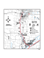
Red Cedar State Trail Map
Detailed trail map.
741 miles away
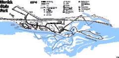
Merrick State Park Map
Beautiful hikes around the waterfront.
752 miles away
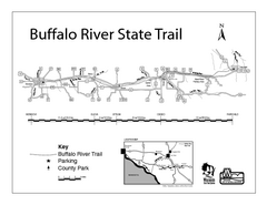
Buffalo River State Trail Map
Detailed map of excited hike through nature's finest.
760 miles away
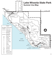
Lake Wissota State Park Map
Easy hiking along the beautiful water front.
765 miles away
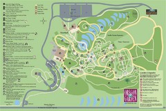
Oregon Garden Map
Map and key marking trails and more in this amazing garden.
770 miles away
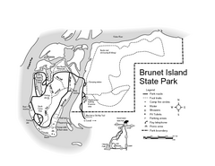
Brunet Island State Park Map
Easy to read legend.
771 miles away
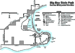
Big Bay State Park Map
Detailed map of nice hikes and stops around Big Bay State Park near Lake Superior.
790 miles away
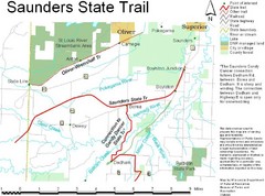
Saunders State Trail Map
Points of interest, lakes, roads, forests and more are marked on this map's key.
802 miles away
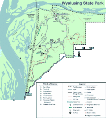
Wyalusing State Park Map
Detailed Park Map.
802 miles away
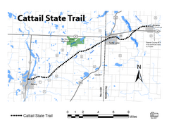
Cat Tail State Trail Map
Map marking trails, bike routes, shelter, toilets and more.
803 miles away
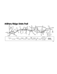
Military Ridge State Trail Map
Simple map marking trail route.
810 miles away
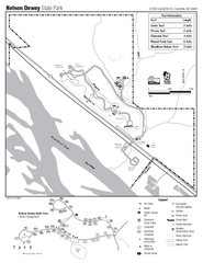
Nelson Dewey State Park Map
Easy trails for you to walk on your vacation.
812 miles away
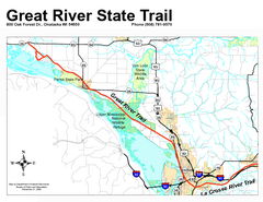
Great River State Trail Map
Nice hike through natural settings along a beautiful river.
836 miles away
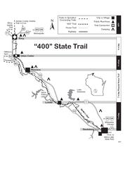
400 State Trail Map
Long and beautiful trail through Wisconsin's finest.
838 miles away
Buckhorn State Park Map
Hiking trails and fun locations marked on this map.
840 miles away
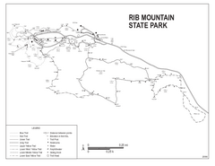
Rib Mountain State Park Map
Simple state park map with nice hiking trails.
844 miles away
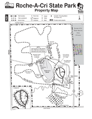
Roche A Cri State Park Map
Marked hiking trails for this State Park easily read on this map.
848 miles away

