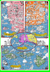
A MAD Pictorial Map of the United States - Back...
I found these raw assembled scans in a dieing torrent in 2010. Hash code...
392 miles away
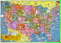
A MAD Pictorial Map of the United States - Front...
I found these raw assembled scans in a dieing torrent in 2010. Hash code...
423 miles away
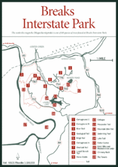
Breaks Interstate Park Map
Clear park map and legend.
596 miles away
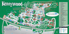
Kennywood Theme Park Map
"America's Finest Traditional Amusement Park" is the slogan for this fun, high rated...
599 miles away
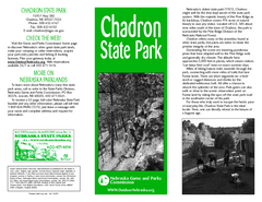
Chadron State Park Map
The majestic beauty of the Pine Ridge forms the backdrop for this great, get away from it all state...
615 miles away
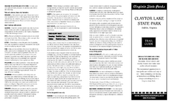
Claytor Lake State Park Map
Map of this beautiful state park.
676 miles away
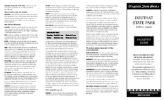
Douthat State Park Map
Clear state park map with marked facilities.
680 miles away
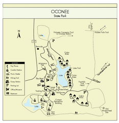
Oconee State Park Map
Beautiful state park clearly mapped with legend.
691 miles away
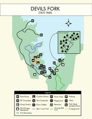
Devils Fork State Park Map
Clearly marked state park map.
691 miles away
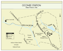
Oconee Station Map
Clear and simple map of Oconee State Park's station.
694 miles away
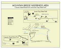
Mountain Bridge Wilderness Area Map
Map and legend marking bathrooms, picnic sites, trails and more.
694 miles away
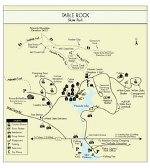
Table Rock State Park MAP
Clear and simple state park map and legend.
696 miles away
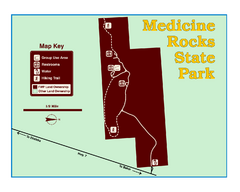
Medicine Rocks State Park Map
As the name implies, Medicine Rocks was a place of "big medicine" where Indian hunting...
702 miles away
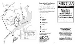
Fairy Stone State Park Map
Clearly marked state park map with trail system.
711 miles away
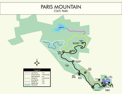
Paris Mountain State Park Map
Clearly labeled map of this beautiful state park.
713 miles away
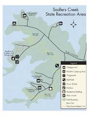
Sadlers Creek State Park Map
This simple map gives you an easy to follow layout of this amazing state park.
726 miles away
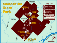
Makoshika State Park Map
To the Sioux Indians, Ma-ko-shi-ka meant bad earth or bad land. Today, as Montana’s largest...
732 miles away
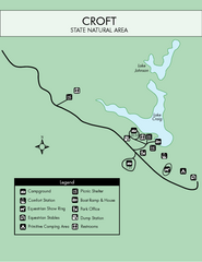
Croft State Park Map
Simple state park map.
734 miles away
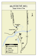
Musgrove Mill State Park Map
Clearly marked state park map.
749 miles away
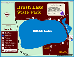
Brush Lake State Park Map
Simple and easily read map.
750 miles away
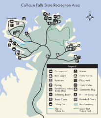
Calhoun Falls State Park Map
Clear map and detailed legend help make this map easy to read and follow.
751 miles away
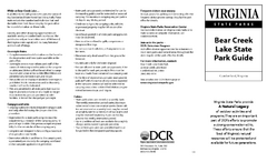
Bear Creek Lake State Park Map
Come visit this beautiful state park and see the amazing wild life.
763 miles away
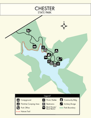
Chester State Park Map
Simple and clear state park map.
767 miles away
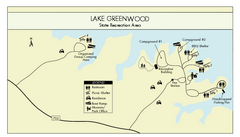
Lake Greenwood State Park Map
Clearly marked state park map on a beautiful waterfront.
767 miles away
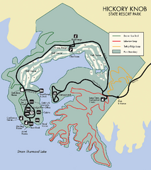
Hickory Knob State Park Map
Detailed map of this beautiful state park.
769 miles away
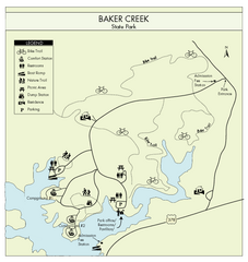
Baker Creek State Park Map
Beautiful park with wonderful views and plenty of wild life.
771 miles away
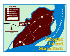
Pirogue Island State Park Map
Visitors find this isolated and undeveloped cottonwood-covered Yellowstone River island an...
771 miles away
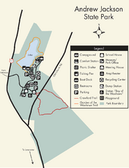
Andrew Jackson State Park Map
Clear and legible park map and legend.
774 miles away
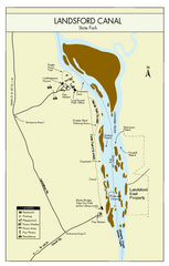
Landsford Canal State Park Map
Clear map with detailed legend marking this beautiful state park.
775 miles away
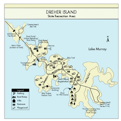
Dreher Island State Park Map
Clearly labeled state park map.
793 miles away
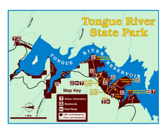
Tongue River Reservoir State Park Map
The 12-mile long reservoir is situated among scenic red shale, juniper canyons, and the open...
803 miles away
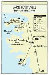
Lake Hartwell State Park Map
Clear state park map.
806 miles away
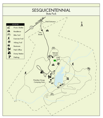
Sesquicentennial State Park Map
Map of this beautiful state park.
810 miles away
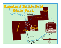
Rosebud Battlefield State Park Map
This National Historic Landmark on the rolling prairie of eastern Montana preserves the site of the...
812 miles away
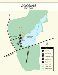
Goodale State Park Map
Easy to read state park map.
814 miles away
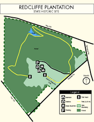
Redcliffe Plantation State Park Map
Clear map of this wonderful state park with a beautiful natural setting.
814 miles away
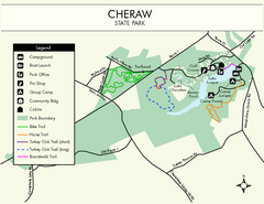
Cheraw State Park Map
Clear and descriptive state park map.
819 miles away
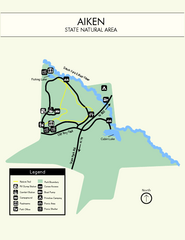
Aiken State Park Map
Small and simple state park map.
819 miles away
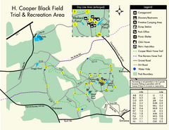
H. Cooper Black Field Map
Detailed map and legend of this state park.
820 miles away
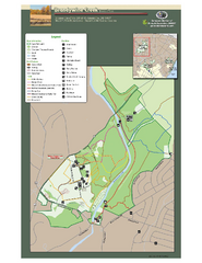
Brandywine Creek State Park Map
Easy to read map and legend of this beautiful state park.
827 miles away

