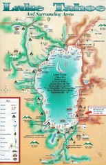
Lake Tahoe and nearby activities Map
Lake Tahoe and nearby resorts and activities
448 miles away
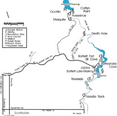
Scottsdale Map
Map of Scottsdale's reservoirs and recreational areas.
448 miles away
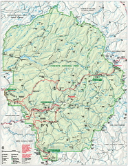
Yosemite National Park official map
Official park map showing trails, roads, campgrounds, ranger stations, parking, picnic areas, and...
452 miles away
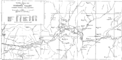
Yosemite Valley Map
Map of the valley and key elevations
455 miles away
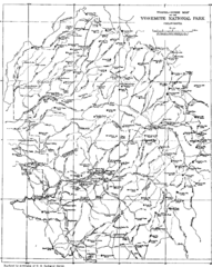
Yosemite Park Map (before development)
Map of Yosemite Park before valley development, showing only Portal Road
458 miles away
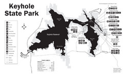
Keyhole State Park Map
Keyhole State Park is located on the western edge of the famed Black Hills, between Sundance and...
479 miles away
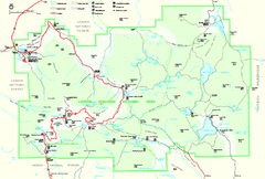
Lassen Volcanic National Park Official Park Map
Official NPS map of Lassen Volcanic National Park in California. Map shows all areas. Lassen...
511 miles away
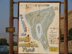
Hart Memorial Park Map
513 miles away
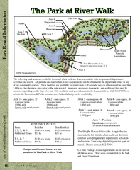
The Park at Riverwalk, Bakersfield California Map
Map of The Park at Riverwalk in Bakersfield California, including the fees for reservable areas.
526 miles away
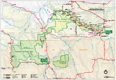
Official Badlands National Park Map
Official NPS map of Badlands National Park in South Dakota. The map shows all area's including...
528 miles away
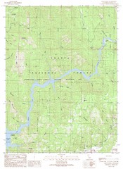
Devils Rock Quad - Shasta Lake Map
Topographic map, Devils Rock Quadrangle, California 1990. Area of map includes a portion of Shasta...
545 miles away
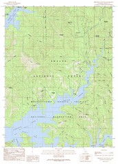
Minnesota Mountain Quad - Shasta Lake Map
Topographic map, Minnesota Mountain Quadrangle, California 1990. Area of map includes a portion of...
551 miles away
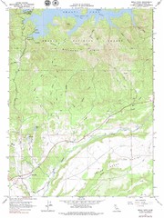
Bella Vista Quad - Shasta Lake Map
Topographic map, Bella Vista Quadrangle, California 1976. Area of map includes a portion of Shasta...
552 miles away
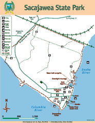
Sacajawea State Park Map
Map of park with detail of trails and recreation zones
553 miles away
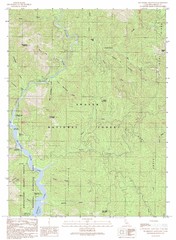
Bollibokka Mountain Quad - Shasta Lake Map
Topographic map, Bollibokka Mountain Quadrangle, California 1990. Area of map includes a portion of...
553 miles away
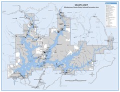
Shasta Unit - Whiskeytown-Shasta-Trinity National...
Map of Shasta Lake, California, showing roads, campgrounds, marinas and resorts, hiking and biking...
557 miles away
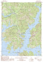
O'Brien Quad - Shasta Lake Map
Topographic map, O'Brien Quadrangle, California 1990. Area of map includes a portion of Shasta...
558 miles away
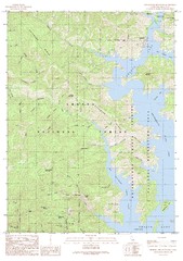
Bohemotash Mountain Quad - Shasta Lake Map
Topographic map, Bohemotash Mountain Quadrangle, California 1990. Area of map includes a portion of...
561 miles away
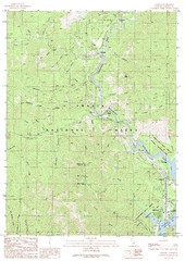
Lamoine Quad - Shasta Lake Map
Topographic map, Lamoine Quadrangle, California 1990. Area of map includes a portion of Shasta Lake...
561 miles away
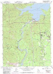
Shasta Dam Quad - Shasta Lake Map
Topographic map, Shasta Dam Quadrangle, California 1969. Area of map includes a portion of Shasta...
563 miles away
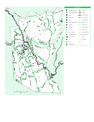
Joseph D. Grant County Park Map
Trail map of Joseph D Grant County Park in Santa Clara County, California
573 miles away
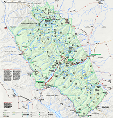
Glacier National Park official map
Glacier National Park official map.
593 miles away
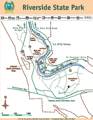
Riverside State Park Map
Map of park with detail of trails and recreation zones
596 miles away
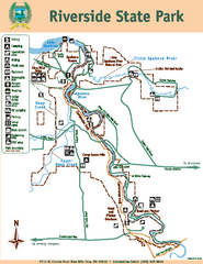
Riverside State Park Map
Map of park with detail of trails and recreation zones
596 miles away
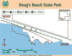
Dougs Beach State Park Map
Map of park with detail of trails and recreation zones
604 miles away
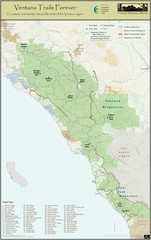
Ventana Wilderness Trails Map
Trail map of the Ventana Wilderness east of Big Sur. Also shows trails in the Silver Peak...
605 miles away
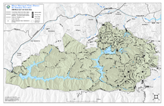
Mt. Tamalpais Watershed Trail Map
Shows roads and trails in the 18,500 Mt. Tamalpais Watershed near Fairfax, California.
605 miles away
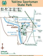
Yakima Sportsman State Park Map
Map of park with detail of trails and recreation zones
620 miles away
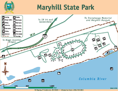
Maryhill State Park Map
Map of park with detail of trails and recreation zones
622 miles away
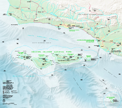
Channel Islands National Park Official Park Map
Official NPS map of Channel Islands National Park in California. Channel Islands National Park...
633 miles away
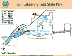
Sun Lakes-Dry Falls State Park Map
Map of park with detail of trails and recreation zones
634 miles away
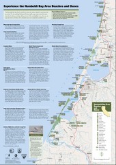
Humboldt Bay Area Beaches and Dunes Map
Humboldt Bay Beaches & Dunes Map & Guide
650 miles away
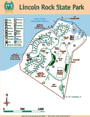
Lincoln Rock State Park Map
Map of park with detail of trails and recreation zones
655 miles away
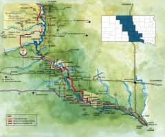
Great Lakes of South Dakota Map
Shows "the other Great Lakes" stretching along the Missouri River in South Dakota. Shows...
662 miles away
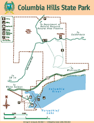
Columbia Hills State Park Map
Map of park with detail of trails and recreation zones
665 miles away
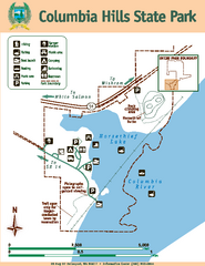
Columbia Hills State Park Map
Map of park with detail of trails and recreation zones
665 miles away
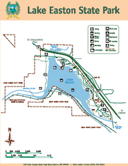
Lake Easton State Park Map
Map of island with detail of trails and recreation zones
676 miles away
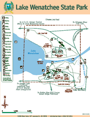
Lake Wenatchee State Park Map
Map of island with detail of trails and recreation zones
688 miles away
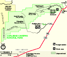
Carlsbad Caverns National Park Official Map
Official NPS map of Carlsbad Caverns National Park in New Mexico. Map shows all areas. Carlsbad...
689 miles away
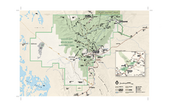
Guadalupe Mountains National Park Official Park...
Official NPS map of Guadalupe Mountains National Park in Texas. Guadalupe Mountains National Park...
692 miles away

