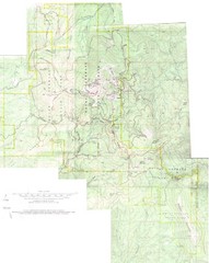
Mount Spokane Trail Map
Contour map of Mount Spokane
2260 miles away
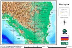
Nicaragua City and Town Elevation Map
Elevation map of Nicaragua with cities, towns, and airports detail.
2267 miles away
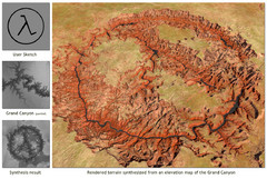
Rendered Terrain of the Grand Canyon Map
Created from Digital Elevation Models
2288 miles away
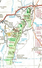
Ruby Mountains Area Map
Included are the communities of Elko, Wells, Deeth, Jiggs, Lee, Lamoille and Spring Creek. Some...
2295 miles away
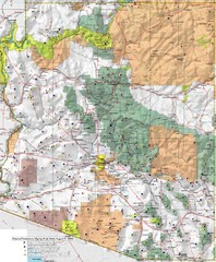
Arizona Prominance Map
Prominant peaks are marked by flags in 4 categories according to elevation.
2304 miles away
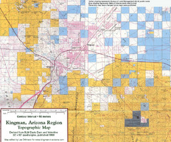
Kingman, Arizona Region Topographic Map
Elevation in qauadrangles for the Kingman, Arizona area
2354 miles away

Apex Mountain Ski Resort Map
Apex Mountain Trail Map, Lifts and Elevations
2355 miles away
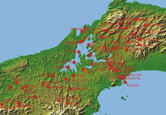
Panama Canal Authority (ACP) Meterological...
Panama Canal Authority (ACP) Meterological Monitoring stations are identified on map of Panama
2419 miles away
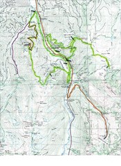
White River 50 Course Map
White River 50 Mile Trail Run
2474 miles away
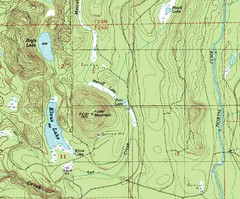
Fuller Mountain Topo Map
Fuller Mountain map with lakes, mountains and elevations identified.
2476 miles away
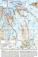
Mount Rainier Topo Map
Map of Mount Rainier Ascent. We ascended the "Muir Snowfield" and then went up the "...
2484 miles away
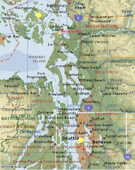
Washington State - West Coast Map
Washington State - West Coast Map
2497 miles away
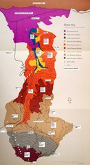
Habitat/Elevation Map of the Sant Rosa Mountains
Deep Canyon, with detailed descriptions of the major plant communities as they change with...
2521 miles away
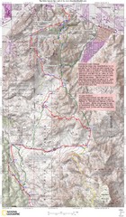
Palm Canyon Epic Trail Map
Upper Trailhead Map. Topo map marked with detail route and notes for ride.
2524 miles away
Toro Peak Elevation Map
Created with PALSAR Technology.
2529 miles away
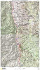
Palm Canyon Epic Map
Palm Canyon Trail - This point-to-point route takes you through a varied array of desert trails...
2531 miles away
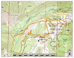
Sky Tavern XC Route Map
Topo map of the XC course for the cycling event.
2535 miles away
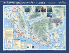
Lower Sunshine Coast Recreation Map
Recreation map of the Lower Sunshine Coast in BC. Shows hiking trails, mountain biking trails...
2541 miles away

Digital Elevation Model Satellite Tahoe Map
Digital Elevation Models
2554 miles away
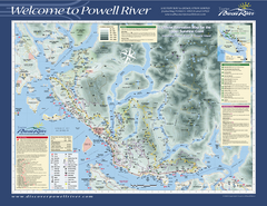
Upper Sunshine Coast Recreation Map
Recreation map of Upper Sunshine Coast in BC. Shows hiking trails, kayaking and canoeing routes...
2564 miles away

John Muir Trail Elevation Map
Profile, Elevation, Landmarks and Mileage for the John Muir Trail entertainment not accurate enough...
2566 miles away
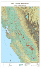
Dairy Locations and Herd Size for the Central...
Map of dairy locations, displayed by herd size in California's Central Valley. Base map...
2584 miles away
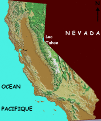
California elevation Map
California map showing elevations by contours, with Lake Tahoe identified.
2584 miles away
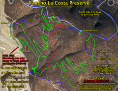
Rancho La Costa Preserve Trail Maps Map
Mountain Biking Trail Map for Rancho La Costa Preserve near San Diego.
2585 miles away
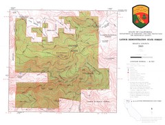
Latour State Forest Map
Countour map of the Latour Demonstration Forest.
2611 miles away
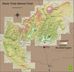
Shasta Trinity National Forest Elevation Map
Shaded relief map of Shasta-Trinity National Forest in northern California
2632 miles away
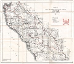
Santa Barbara National Forest 1924 Map
Los Padres National Forest Map. Prior to 1936 it was known as the Santa Barbara National Forest.
2643 miles away
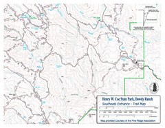
Henry W. Coe State Park, Dowdy Ranch Map
Henry W. Coe State Park Southeast Entrance Trail Map.
2675 miles away
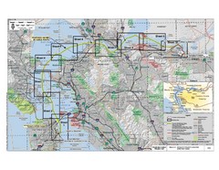
San Francisco Trans Bay Cable Project EIR Map
Map A.2-1 Detailed Project Location
2698 miles away
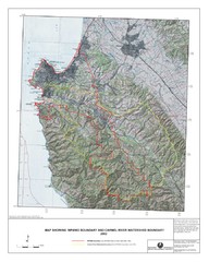
Monterey Peninsula and Carmel River Watershed...
This map contains a digital raster graphic topographic base map of the Monterey Peninsula Water...
2713 miles away
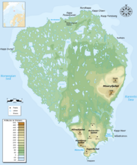
Bear Island Bjørnøya Norway Map
Elevation map of Bear Island, Norway (Bjørnøya) in the Barents Sea, the southernmost...
3434 miles away
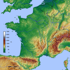
GMT France Map
Map of France made with GMT and and GTOPO30.
3502 miles away
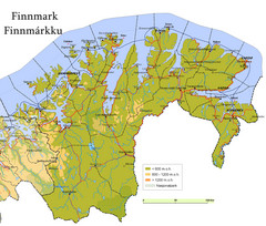
Finnmark County Map
Elevation map of Finnmark County, Norway. Color shading shows meters above sea level and national...
3670 miles away
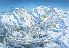
Méribel-Mottaret Ski Run Map
Ski Resort map for Méribel and Mottaret ski resorts including ski runs, lifts and mountain...
3716 miles away
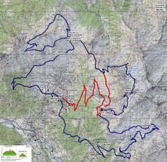
Verbier 60k Course Profile Map
Course Map and Elevation Profile for the Verbier Ultra Run 60k and 20k routes.
3724 miles away
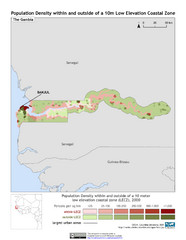
The Gambia 10m LECZ and Population Density Map
Populaton Density within and outside of a 10 meter Low Elevation Coastal Zone
3851 miles away
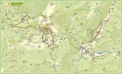
Nature Fitness Park in Kronplatz Dolomiti Map
Panoramic map of Nature Fitness Park in Dolomites. The park is very well signposted and its trails...
3899 miles away
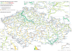
Elevation Railway Map of Czech Republic
Elevation of railways and main stations in Czech republic. Blue numbers show elevation of stations...
3952 miles away
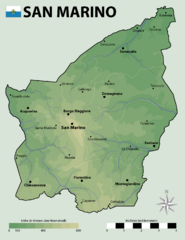
San Marino Elevation Map
Elevation map of San Marino
4019 miles away
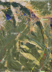
Tatras Map
The Tatras - rocks, landforms, weathering and soils field trip map with sites identified.
4087 miles away

