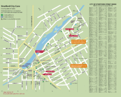
Stratford Tourist Map
Tourist map of center of Stratford, Ontario. Has street index and shows points of interest. Note...
297 miles away
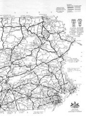
Eastern Pennsylvania Road Map
301 miles away
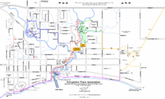
Kincardine Street & Trail Map
304 miles away
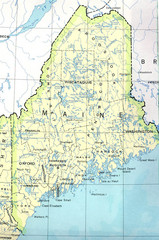
Maine Tourist Map
304 miles away
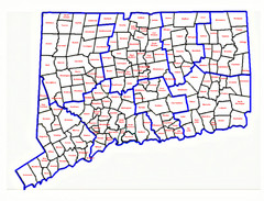
Connecticut Town Map
308 miles away
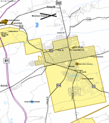
Hazelton Street Map
Clear and descriptive road map.
310 miles away
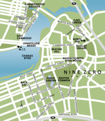
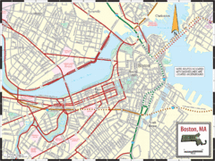
Central Boston Tourist Map
314 miles away
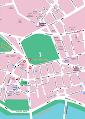
Boston Neighborhood Map
314 miles away
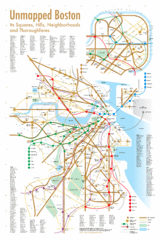
Boston Neighborhood Map
314 miles away
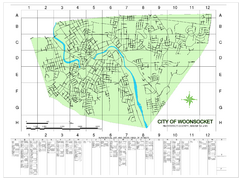
Woonsocket Street Map
Street map of Woonsocket, Rhode Island. Shows street legend.
316 miles away
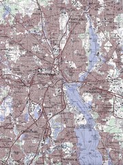
Providence Topo Map
Topo map of Providence, East Providence, Cranston, and Pawtucket, RI. Original scale 1:50,000
329 miles away
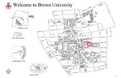
Brown University Map
329 miles away
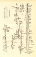
1904 New York City Subway Map
The New York City Subway Map in 1904
334 miles away
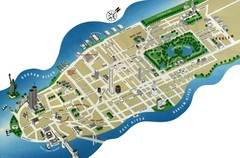
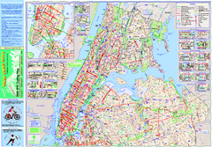
Manhattan Tourist Map
Simplified tourist map of Manhattan. Shows major NYC landmarks.
334 miles away
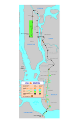
New York Marathon Course Map 2008
Official 2008 course map of the New York Marathon.
334 miles away
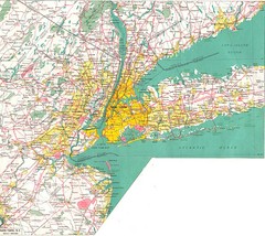
New York City Map
334 miles away
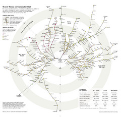
Travel Times on Commuter Trains in New York City...
Travel Times on Commuter Trains in the Greater New York Area
334 miles away

New York City Tourist Map
334 miles away
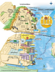
Jersey City, New Jersey City Map
Sketch of Jersey City and Hoboken, New Jersey
335 miles away
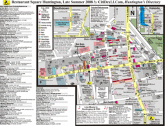
Huntington, New York Restaurant Map
335 miles away
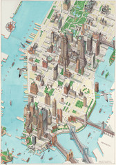
Manhattan New York Map
Aerial map of New York illustrated by UK illustrator Katherine Baxter.
335 miles away
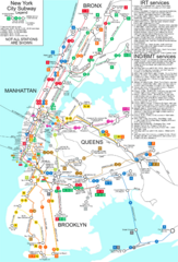
New York City Subway Map
Map of NYC subway transit system and stops
336 miles away
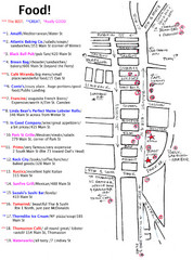
Rockland, Maine Restaurant Map
336 miles away
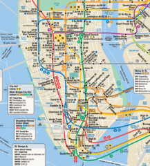
New York City Subway Map
337 miles away
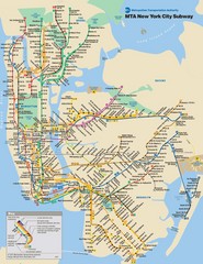
New York City Public Transportation Map
337 miles away
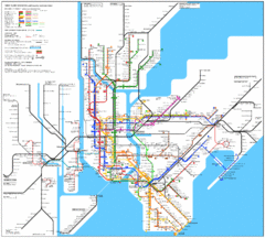
New York City Subway Map
337 miles away
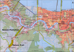
New Orleans Tourist Map
337 miles away

Battery Park City Map
City map of Battery Park City, an area of Manhattan, with art highlighted
337 miles away

Lower Manhattan Area Map
338 miles away
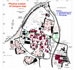
University of New York at Stony Brook Campus Map
338 miles away
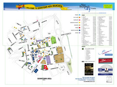
New Brunswick City Map
City map of New Brunswick, New Jersey with tourist information
347 miles away
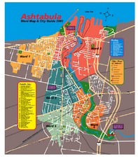
Ashtabula Tourist Map
Tourist map of Ashtabula, Ohio, situated on Lake Erie. Shows wards, notable sites, boating info...
353 miles away
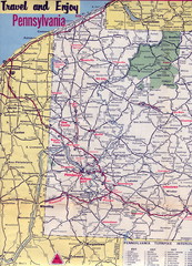
Western Pennsylvania Map
Western Pennsylvania, Northern West Virginia and Eastern Ohio roads
366 miles away
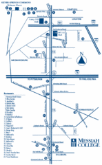
South Pennsylvania Restaurant Map
370 miles away
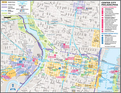
Philadelphia Tourist Map
379 miles away
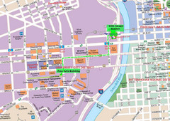
Philadelphia Tourist Map
379 miles away
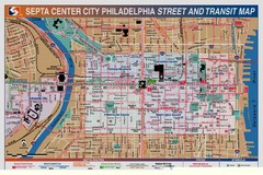
Philadelphia Tourist Map
379 miles away
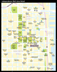
Independence Hall, Philadelphia Tourist Map
379 miles away

