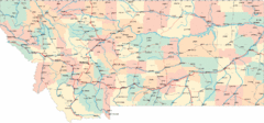
Montana Road Map
568 miles away
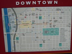
Downtown Sacramento City Map
City map of downtown Sacramento, California. From 2007 photo.
626 miles away
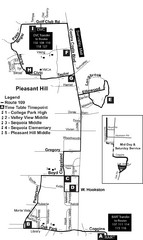
Pleasant Hill, CA Map
668 miles away
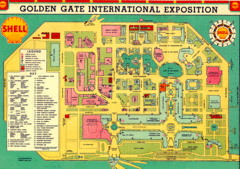
Golden Gate International Expo 1939 Map
Map of the 1939 Golden Gate International Expo.
677 miles away
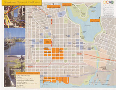
Oakland Tourist Map
Tourist map of downtown Oakland, California. Shows shopping districts.
678 miles away
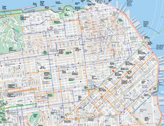
San Francisco Map
Road and Bike routes in San Francisco
679 miles away
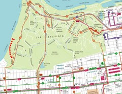
Baker Beach, San Francisco Tourist Map
679 miles away
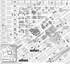
San Francisco City Center Map
679 miles away
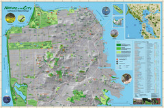
San Francisco Natural Heritage Map
Shows San Francisco's natural habitats and biodiversity is filled with fun facts, restoration...
680 miles away
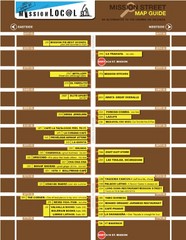
San Francisco Mission Restaurant Map
681 miles away
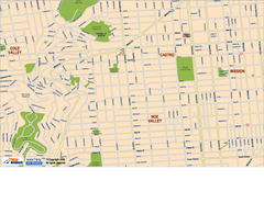
Downtown San Francisco: Castro and Noe Valley Map
Tourist map of the Castro and Noe Valley area in downtown San Francisco, California. Shows Twin...
681 miles away
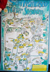
San Francisco Water System Cartoon Map
Cartoon map of the San Francisco Water System. From photo of poster from San Francisco Public...
681 miles away
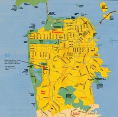
San Francisco City Map
City map of San Francisco with Lowell High School highlighted
682 miles away
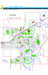
Swift Current Tourist Map
Tourist map of Swift Current, Saskatchewan. Shows all parks and walking paths.
685 miles away

Salt Lake City Tourist Map
Tourist map of Salt Lake City, Utah. Shows points of interest.
700 miles away
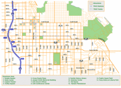
Downtown Salt Lake City Map
Street map of downtown Salt Lake City
701 miles away
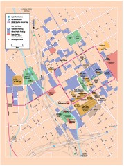
San Jose Downtown map
San Jose sowntown street map showing public transportation and parking.
711 miles away
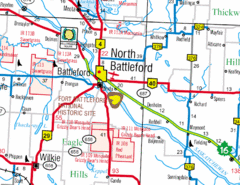
North Battleford, Saskatchewan Map
715 miles away
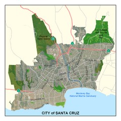
Santa Cruz City Limits Map
Map shows the city limits boundries of Santa Cruz, California
735 miles away
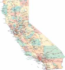
California Road Map
736 miles away
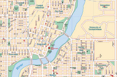
Saskatoon, Saskatchewan Tourist Map
763 miles away
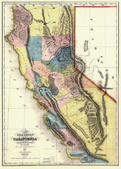
1851 California Regional Map
Great quality map of Californian regions in 1851.
764 miles away
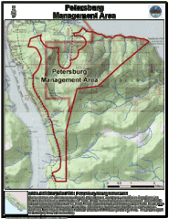
Petersburg, Alaska Tourist Map
778 miles away
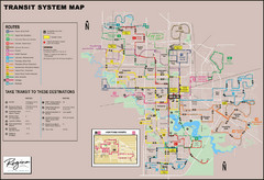
Regina Transit Map
Bus route map of the city of Regina, Saskatchewan, Canada.
825 miles away
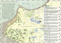
Tony Knowles Coastal Trail, Alaska Map
847 miles away
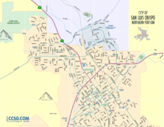
San Luis Obispo City Map - Northern Portion
City map of northern portion of San Luis Obispo, California
856 miles away
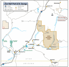
Zion National Park Highway Map
Highways, roads, cities and points of interest are marked on this clear map.
862 miles away
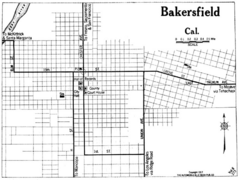
Bakersfield California, 1917 Map
863 miles away
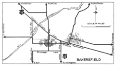
Bakersfield, 1934 Map
Official California State Division of Highways Map
863 miles away
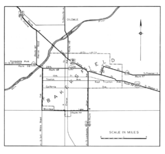
Bakersfield, 1944 Map
Official California State Division of Highways Map
863 miles away
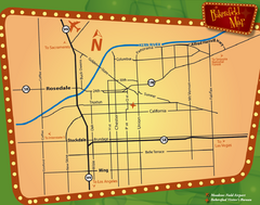
Bakersfield Overview Map
Shows major streets and highways in Bakersfield, CA
863 miles away
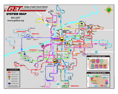
Bakersfield California Bus System Map (G.E.T. Bus)
Entire system map of all routes Golden Empire Transit offers in the City of Bakersfield, California.
863 miles away
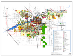
City of Bakersfield Zoning Map
This map depicts zoning for the City of Bakersfield. This map is not the official zoning map for...
863 miles away
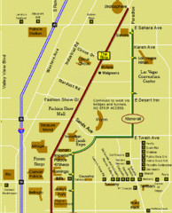
Las Vegas Strip Restaurant Map
875 miles away
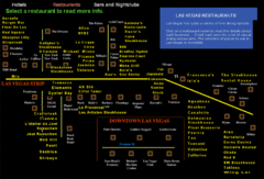
Las Vegas Strip Restaurant Map
875 miles away
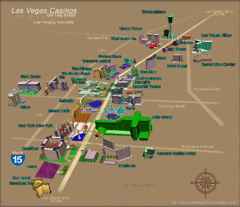
Las Vegas, NV Tourist Map
875 miles away
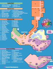
Rio Hotel - Las Vegas, NV Tourist Map
875 miles away
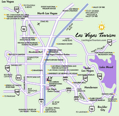
Las Vegas, NV Tourist Map
875 miles away
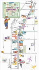
Vegas Strip and Downtown Map
Tourist map of Vegas strip and downtown
877 miles away
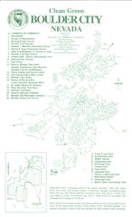
Boulder City Map
Map of Boulder City, Nevada. Shows points of interest and parks.
892 miles away

