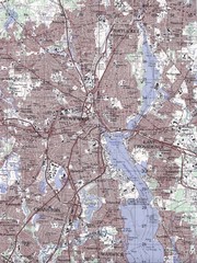
Providence Topo Map
Topo map of Providence, East Providence, Cranston, and Pawtucket, RI. Original scale 1:50,000
235 miles away
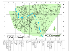
Woonsocket Street Map
Street map of Woonsocket, Rhode Island. Shows street legend.
238 miles away
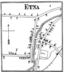
Etna 1897 City Map
Key to the Map of Etna (1897) 1. Mrs. C. Turner. 38. Blacksmith Shop. 2. J. T. Primrose. 39. Houtz...
239 miles away
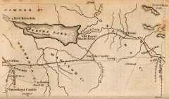
Antique map of Utica, NY from 1830
Map of Utica, NY from The Northern Traveller, and Northern Tour; with the Routes to The Springs...
263 miles away
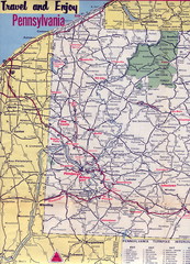
Western Pennsylvania Map
Western Pennsylvania, Northern West Virginia and Eastern Ohio roads
272 miles away
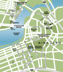
Central Boston Tourist Map
272 miles away
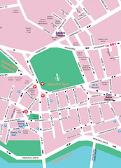
Boston Neighborhood Map
272 miles away
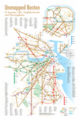
Boston Neighborhood Map
272 miles away
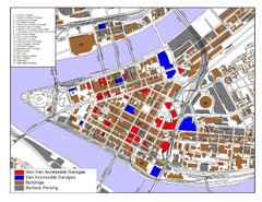
Pittsburgh Tourist Map
305 miles away
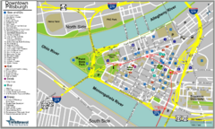
Pittsburgh Tourist Map
305 miles away
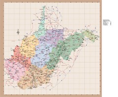
West Virginia Road Map
311 miles away
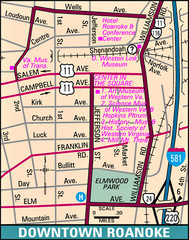
Roanoke, Virginia City Map
333 miles away
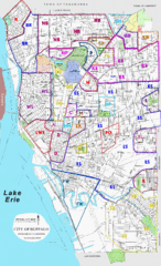
Buffalo, New York Tourist Map
336 miles away
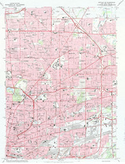
Northeast Buffalo Topo Map
1:24,000 topographic map of the northeast part of Buffalo, New York and surrounding suburbs...
337 miles away
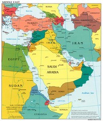
Middle East Political Map
345 miles away
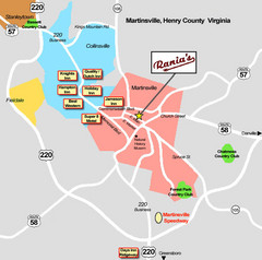
Martinsville Restaurant and Hotel Map
350 miles away
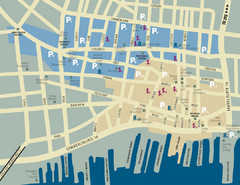
Portland, Maine Tourist Map
367 miles away
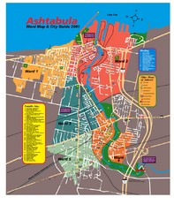
Ashtabula Tourist Map
Tourist map of Ashtabula, Ohio, situated on Lake Erie. Shows wards, notable sites, boating info...
377 miles away
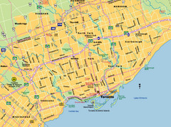
Toronto City Map
Street map of Toronto city
393 miles away
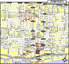
Toronto Tourist Map
393 miles away
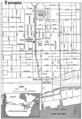
Toronto Tourist Map
393 miles away
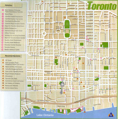
Toronto Tourist Map
393 miles away
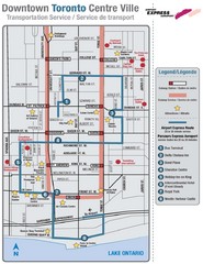
Downtown Toronto Tourist Map
393 miles away
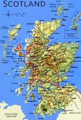
Scotland Tourist Map
394 miles away
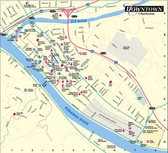
Charleston WV City Map
City map of downtown Charleston, West Virginia. Shows points of interest.
394 miles away
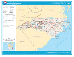
North Carolina Road Map
416 miles away
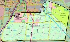
Gloucester Map
Street-map of Gloucester district
419 miles away
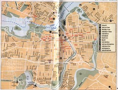
Ottawa Tourist Map
Tourist map of capital city of Ottawa, Canada. Shows tourist points of interest.
424 miles away
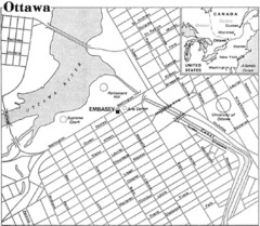
Ottawa, Ontario Tourist Map
424 miles away
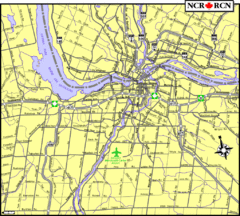
Ottawa, Ontario Tourist Map
424 miles away
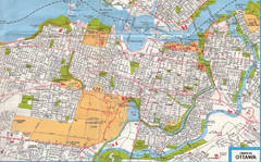
Ottawa, Ontario Tourist Map
424 miles away
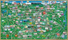
Waterloo Tourist Map
Tourist map of Waterloo, Ontario and the St. Jacobs area. Shows business logos and phone numbers.
425 miles away
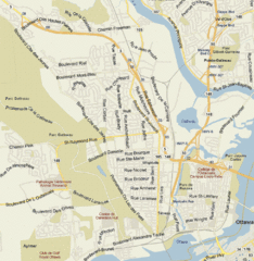
Hull, Quebec Tourist Map
426 miles away
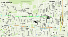
Downtown Montreal Map
Street map of central Montreal. Shows access to the metro and commuter train
426 miles away
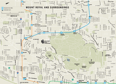
Mount Royal and Surroundings Map
427 miles away
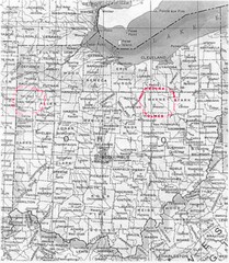
Ohio County Map
427 miles away
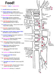
Rockland, Maine Restaurant Map
427 miles away
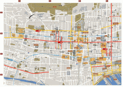
Montreal Downtown Map
Street map of downtown Montreal, Quebec. In French.
428 miles away

