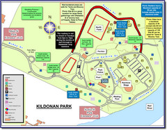
Kildonan Park, Winnipeg, Manitoba Tourist Map
887 miles away
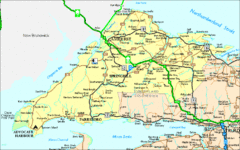
Nova Scotia Tourist Map
910 miles away
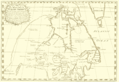
North America Latitude 40 to 68 Degrees Map, 1744
Physical map shows part of North America between latitudes of 40 to 68 degrees.
1028 miles away
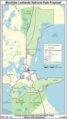
Manitoba Lowlands National Park Tourist Map
1082 miles away
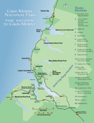
Gros Morne National Park Map
Shows campgrounds and trails in Gros Morne National Park, Newfoundland, Canada. In French and...
1179 miles away
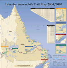
Labrador Snowmobiling Trail Map
Trail map of Labrador, Canada with inset maps of specific trail areas.
1187 miles away
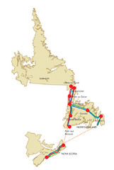
Newfoundland Map
1206 miles away
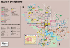
Regina Transit Map
Bus route map of the city of Regina, Saskatchewan, Canada.
1213 miles away
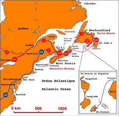
Saint Pierre and Miquelon Regional Map
Guide to the country of Saint Pierre Miquelon and the surrounding area
1225 miles away
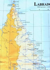
Labrador Peninsula Map
Shows towns in the Labrador Peninsula, Canada. Scanned.
1238 miles away
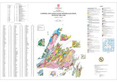
Copper and Associated Mineralization in...
1301 miles away
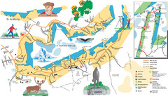
St. Anthony Tourist Map
Tourist map of town of St. Anthony, Newfoundland, Canada. Shows points of interest.
1303 miles away
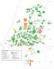
University of Saskatchewan Campus Map
Campus map of the University of Saskatoon in Saskatoon, Saskatchewan, Canada. Shows all buildings...
1328 miles away
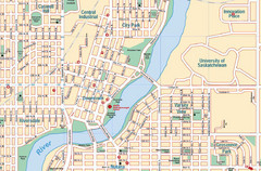
Saskatoon, Saskatchewan Tourist Map
1330 miles away
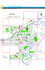
Swift Current Tourist Map
Tourist map of Swift Current, Saskatchewan. Shows all parks and walking paths.
1347 miles away
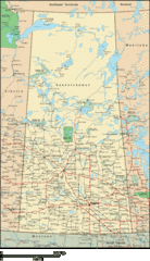
Saskatchewan Overview Map
Overview map of the Canadian province of Saskatchewan.
1350 miles away
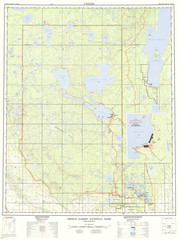
Prince Albert National Park Topo Map
Topographical map of Prince Albert National Park in Saskatchewan, Canada. From atlas.nrcan.gc.ca...
1360 miles away
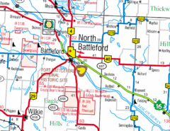
North Battleford, Saskatchewan Map
1408 miles away
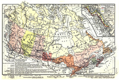
1911 Map of Canada and Newfoundland by Shepherd
This map was from the beautiful 1911 Historical Atlas by William R. Shepherd. Enjoy it!
1423 miles away
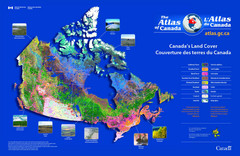
Canada Land Cover Map
Shows color-coded land cover regions of Canada. In French and English.
1545 miles away
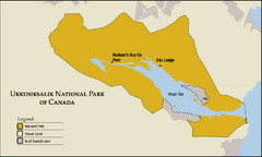
Ukkusiksalik National Park Map
Official map of Ukkusiksalik National Park in Nunavut, Canada around the Wager Bay. Shows national...
1566 miles away
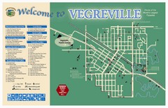
Vegreville Tourist Map
Tourist map of Vegreville, Alberta. Shows points of interest.
1572 miles away
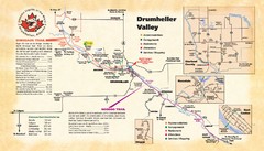
Drumheller Valley Tourist Map
Tourist map shows trails and points of interest of area around Drumheller, Alberta.
1572 miles away
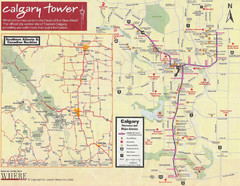
Calgary Tourist Map
Tourist map of Calgary, Canada. Shows points of interest. Scanned.
1626 miles away
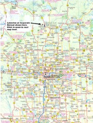
Edmonton, Alberta Tourist Map
1630 miles away
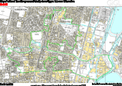
Edmonton, Alberta Tourist Map
1630 miles away
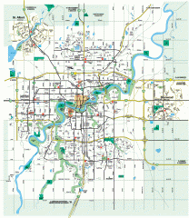
Edmonton Map
City street map of the metro Edmonton area in Alberta.
1630 miles away
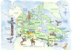
Canadian Tourist Illustrated Map
1702 miles away
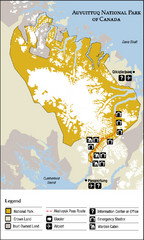
Auyuittuq National Park Map
Official map of Auyuittuq National Park. Shows glacier, emergency shelters, and warden cabins.
1751 miles away

City of Trail BC Map
Map of city of Trail, BC on the Columbia River
1782 miles away

Stanley, British Columbia Map
1987 miles away
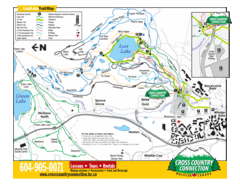
Lost Lake, Whistler Hiking and Biking Trail Map
2014 miles away
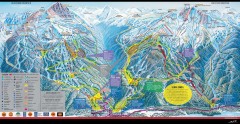
Whistler Blackcomb Ski Trail map 2005-06
Official ski trail map of the Whistler Blackcomb ski area from the 2005-2006 season. Site of the...
2014 miles away
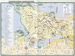
Vancouver Map
2021 miles away
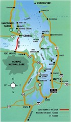
British Columbia, Canada Tourist Map
2026 miles away
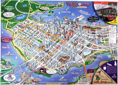
Vancouver Downtown Map
Panoramic tourist map of downtown Vancouver, BC. Shows major buildings in 3D.
2026 miles away
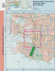
Downtown Victoria, British Columbia Tourist Map
2043 miles away
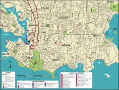
Victoria, British Columbia Tourist Map
2043 miles away

Sirmilik National Park Map
Official map of Sirmilik National Park in Nunavut, Canada. Comprises Borden Peninsula, Bylot...
2050 miles away


