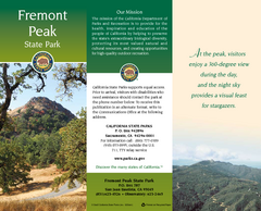
Fremont Peak State Park Map
Map of park with detail of trails and recreation zones
173 miles away
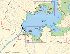
Millerton Lake State Recreation Area SW Map
Map of SW region of park with detail of trails and recreation zones
180 miles away

Millerton Lake State Recreation Area NE Map
Map of NE region of park with detail of trails and recreation zones
180 miles away
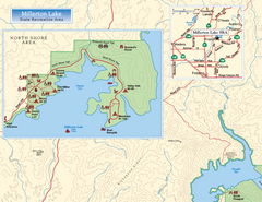
Millerton Lake State Recreation Area NW Map
Map of NW region of park with detail of trails and recreation zones
180 miles away
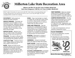
Millerton Lake State Recreation Area Campground...
Map of campground region of park with detail of trails and recreation zones
180 miles away
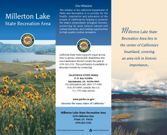
Millerton Lake State Recreation Area Map
Map of park with detail of trails and recreation zones
180 miles away
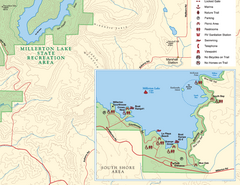
Millerton Lake State Recreation Area SE Map
Map of SE region of park with detail of trails and recreation zones
180 miles away
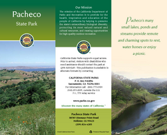
Pacheco State Park Map
Map of park with detail of trails and recreation zones
184 miles away
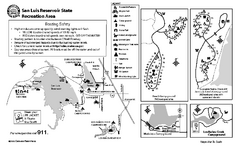
San Luis Reservoir State Recreation Area...
Map of campground region of park and reservoir with detail of trails and recreation zones
185 miles away
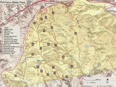
Pacheco State Park Trail Map
Map of park with details of different trails
186 miles away
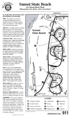
Sunset State Beach Campground Map
Map of park with detail of trails and recreation zones
188 miles away
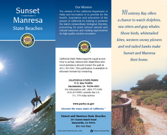
Sunset & Manresa State Beaches Map
Map of beaches and parks with detail of trails and recreation zones
190 miles away
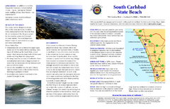
South Carlsbad State Beach Campground Map
Map of beach and park with detail of trails and recreation zones
192 miles away
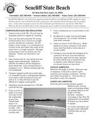
Seacliff State Beach Campground Map
Map of campground region of beach and park with detail of trails and recreation zones
196 miles away
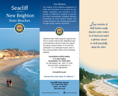
Seacliff & New Brighton State Beaches Map
Map of beaches and parks with detail of trails and recreation zones
197 miles away
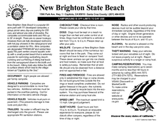
New Brighton State Beach Campground Map
Map of campground region of beach/park with detail of trails and recreation zones
197 miles away
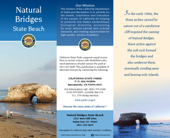
Natural Bridges State Beach Map
Map of beach and park with detail of trails and recreation zones
199 miles away
Henry W. Coe State Park Map
Map of park with detail of trails and recreation zones
199 miles away
Wilder Ranch State Park Map
Map of park with detail of trails and recreation zones
202 miles away
McConnell State Recreation Area Map
Map of park with detail of trails and recreation zones
204 miles away
Palomar Mountain State Park Map
Map of park with detail of trails and recreation zones
207 miles away
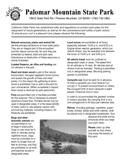
Palomar Mountain State Park Campground Map
Map of campground region of park with detail of trails and recreation zones
207 miles away
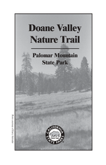
Palomar Mountain State Park Trail Map
Map of doane valley trail in park
207 miles away
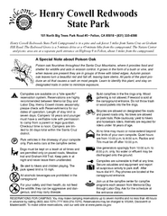
Henry Cowell Redwoods State Park Campground Map
Map of campground region of park with detail of trails and recreation zones
207 miles away
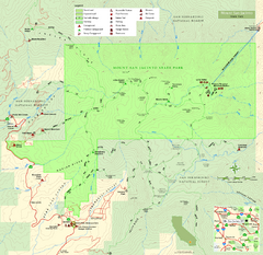
Mount San Jacinto State Park Map
Map of park with detail of trails and recreation zones
209 miles away
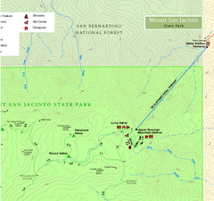
Mount San Jacinto State Park NE Map
Map of NE region of park with detail of trails and recreation zones
209 miles away
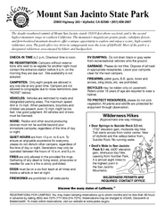
Mount San Jacinto State Park Campground Map
Map of campground region of park with detail of trails and recreation zones
209 miles away
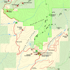
Mount San Jacinto State Park SW Map
Map of SW region of park with detail of trails and recreation zones
209 miles away
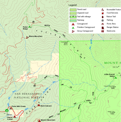
Mount San Jacinto State Park NW Map
Map of NW region of park with detail of trails and recreation zones
209 miles away
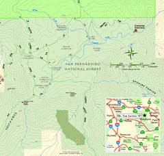
Mount San Jacinto State Park SE Map
Map of SE region of park with detail of trails and recreation zones
210 miles away
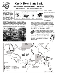
Castle Rock State Park Map
Map of park with detail of trails and recreation zones
217 miles away
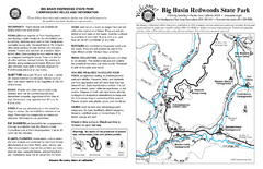
Big Basin Redwoods State Park Map
Map of park with detail of trails and recreation zones
217 miles away
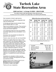
Turlock Lake State Recreation Area Campground Map
Map of campground region of recreation area with detail of trails and recreation zones
218 miles away
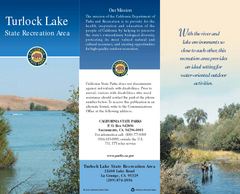
Turlock Lake State Recreation Area Map
Map of recreation area with detail of trails and recreation zones
218 miles away
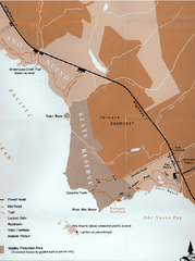
Ano Nuevo State Park Map
Map of park with detail of trails and recreation zones
219 miles away

Ano Nuevo State Park Map
Map of park with detail of trails and recreation zones
219 miles away
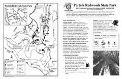
Portola Redwoods State Park Campground Map
Map of campground region of park with detail of trails and recreation zones
221 miles away
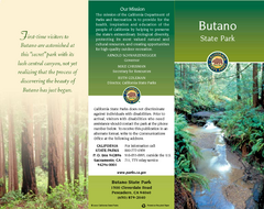
Butano State Park Map
Map of park with detail of trails and recreation zones
222 miles away
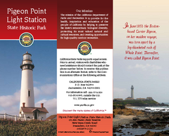
Pigeon Point Light Station State Historic Park Map
Map of park with detail of trails and recreation zones
222 miles away
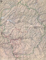
Yosemite National Park Map
Yosemite National Park Map. Shows location of all hiking trails, camp grounds, visitor center and...
227 miles away

