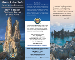
Mono Lake Tufa State Natural Reserve Map
Map of reserve with detail of trails and recreation zones
90 miles away
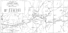
Yosemite Valley Map
Map of the valley and key elevations
90 miles away
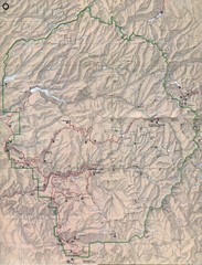
Yosemite National Park Map
Yosemite National Park Map. Shows location of all hiking trails, camp grounds, visitor center and...
92 miles away
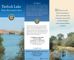
Turlock Lake State Recreation Area Map
Map of recreation area with detail of trails and recreation zones
97 miles away
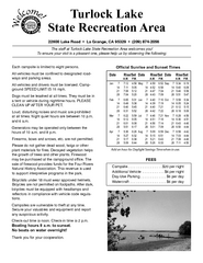
Turlock Lake State Recreation Area Campground Map
Map of campground region of recreation area with detail of trails and recreation zones
97 miles away
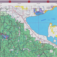
Lassen National Park Map
Forest Visitor Map of the farthest east of the park, shows all camping and recreational areas and...
104 miles away
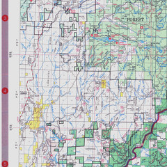
Lassen National Park Map
Visitor Map that shows most of Lassen National Forest with locations of camp grounds and...
104 miles away
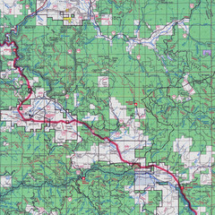
Lassen National Park Map
Forest Visitor Map showing locations of most camping and recreational areas in the eastern part of...
104 miles away
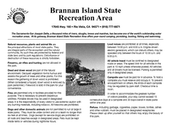
Brannan Island Campground Map
Map of park with detail of trails and recreation zones
105 miles away
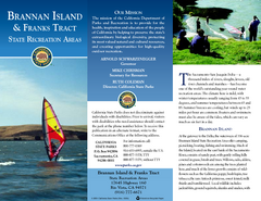
Brannan Island & Franks Tract State...
Map of park with detail of trails and recreation zones
105 miles away
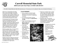
Caswell Memorial State Park Campground Map
Map of park with detail of trails and recreation zones
105 miles away
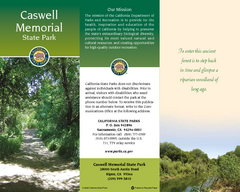
Caswell Memorial State Park Map
Map of park with detail of trails and recreation zones
107 miles away
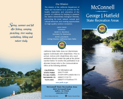
McConnell State Recreation Area Map
Map of park with detail of trails and recreation zones
113 miles away
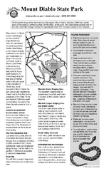
Mount Diablo State Park Campground Map
Map of park with detail of trails and recreation zones
125 miles away
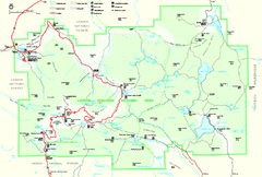
Lassen Volcanic National Park Official Park Map
Official NPS map of Lassen Volcanic National Park in California. Map shows all areas. Lassen...
126 miles away
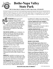
Bothe-Napa Valley State Park Map
Map of park with detail of of trails and recreation zones
135 miles away
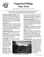
Sugarloaf Ridge State Park Campground Map
Map of park with detail of trails and recreation zones
135 miles away
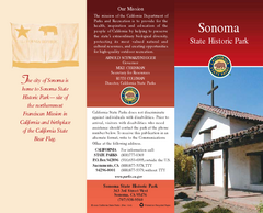
Sonoma State Historic Park Map
Map of park with detail of trails and recreation zones
136 miles away
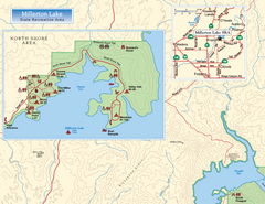
Millerton Lake State Recreation Area NW Map
Map of NW region of park with detail of trails and recreation zones
137 miles away
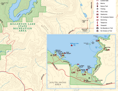
Millerton Lake State Recreation Area SE Map
Map of SE region of park with detail of trails and recreation zones
137 miles away

Millerton Lake State Recreation Area NE Map
Map of NE region of park with detail of trails and recreation zones
137 miles away
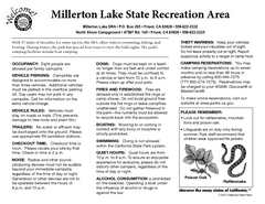
Millerton Lake State Recreation Area Campground...
Map of campground region of park with detail of trails and recreation zones
137 miles away
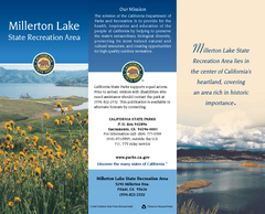
Millerton Lake State Recreation Area Map
Map of park with detail of trails and recreation zones
137 miles away
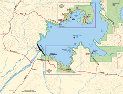
Millerton Lake State Recreation Area SW Map
Map of SW region of park with detail of trails and recreation zones
137 miles away
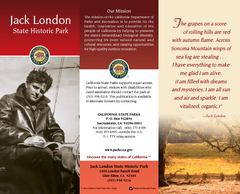
Jack London State Historic Park Map
Map of park with detail of trails and recreation zones
140 miles away
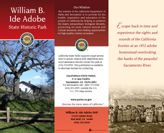
William B. Ide Adobe State Historic Park Map
Map of park with detail of trails and recreation zones
141 miles away
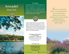
Annadel State Park Map
Map of park with detail of trails and recreation zones
141 miles away
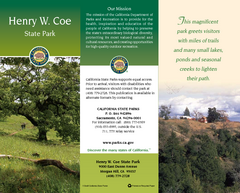
Henry W. Coe State Park Map
Map of park with detail of trails and recreation zones
143 miles away
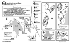
San Luis Reservoir State Recreation Area...
Map of campground region of park and reservoir with detail of trails and recreation zones
143 miles away
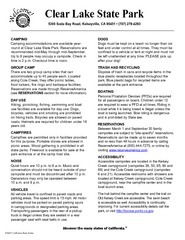
Clear Lake State Park Campground Map
Map of park with detail of trails and recreation zones
146 miles away
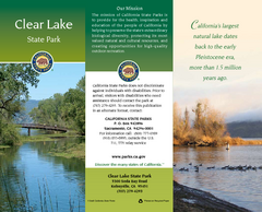
Clear Lake State Park Map
Map of park with detail of trails and recreation zones
146 miles away
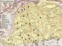
Pacheco State Park Trail Map
Map of park with details of different trails
146 miles away
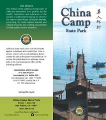
China Camp State Park Map
Map of park with detail of trails and recreation zones
146 miles away
Pacheco State Park Map
Map of park with detail of trails and recreation zones
148 miles away
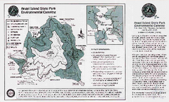
Angel Island State Park Map
Map of park with detail of trails and recreation zones
148 miles away
Mount Tamalpais State Park Map
Map of park with detail of trails and recreation zones
155 miles away
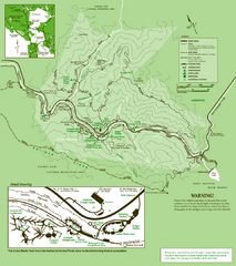
Samuel Taylor State Park Trail Map
Trail map of Samuel Taylor State Park near Lagunitas, CA.
157 miles away
Samuel P. Taylor State Park Map
Map of park with detail of trails and recreation zones
158 miles away
Tomales Bay State Park Map
Map of park with detail of trails and recreation zones
162 miles away
McArthur-Burney Falls Memorial State Park Map
Map of park with detail of trails and recreation zones
163 miles away

