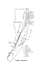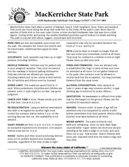
MacKerricher State Park Campground Map
Map of campground region of park with detail of trails and recreation zones
424 miles away
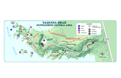
Yaquina Head Outstanding National Area Map
751 miles away
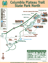
Columbia Plateau Trail State Park North Map
Map of park with detail of trails and recreation zones
857 miles away
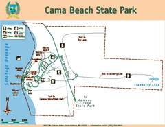
Cama Beach State Park Map
Map of park with detail of trails and recreation zones
966 miles away
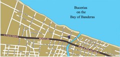
Bucerias, Mexico Tourist Beach Map
1280 miles away
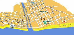
Puerto Vallarta, Mexico Beach Tourist Map
1290 miles away
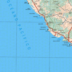
Jalisco State, Mexico Beach Tourist Map
1371 miles away
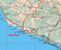
Melaque, Mexico Beach Tourist Map
1388 miles away
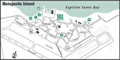
Matagorda Island State Park HQ Map
Shows park headquarters and facilities.
1421 miles away

South Padre Island Street Map
Map of Jim's Beach Service of South Padre Island, Texas
1449 miles away
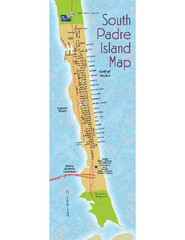
South Padre Island Map
Street map of South Padre Island, Texas. Shows beach names.
1449 miles away
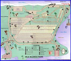
Isla Blanca Beach Park Map
Map of Isla Blanca Beach Park. Shows RV hookups and spots.
1451 miles away
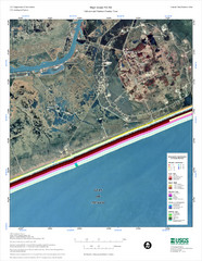
High Island Map
1507 miles away
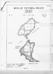
Victoria Beach and Elk Island Map
1614 miles away
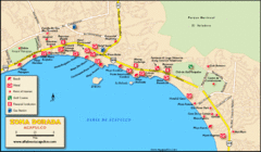
Zona Dorada Acapulco Map
Tourist site map of Zona Dorada area of Acapulco
1717 miles away
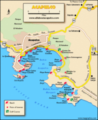
Acapulco Tourist Map
1718 miles away
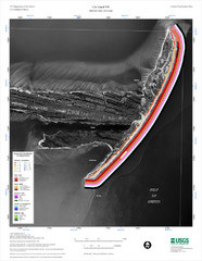
Cat Island Map
Cat Island NW Coastal Classification
1795 miles away
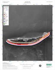
Ship Island Map
1803 miles away
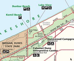
Kemil Beach, Indiana Tourist Map
1829 miles away

Gulf Islands National Seashore Park Map
Official NPS map of the Gulf Islands National Seashore Park. Largest National Seashore in the US...
1870 miles away
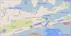
Orange Beach, Florida Beach Tourist Map
1880 miles away
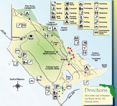
St. Andrews State Park Map
Overview map of St. Andrews State Park, #2 beach in America by TripAdvisor.com, 2008
1988 miles away
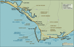
Mexico Beach, Florida Tourist Map
2010 miles away

Riviera Maya, Mexico Tourist Beach Map
2184 miles away
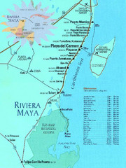
Riviera Maya, Mexico Tourist Beach Map
2184 miles away
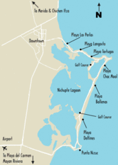
Cancun Beach Tourist Map
2187 miles away
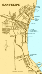
San Felipe, Mexico Beach Tourist Map
2193 miles away
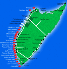
Cozumel Diving Tourist Map
2204 miles away
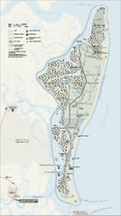
Cumberland Island National Seashore Map
Official NPS map of Cumberland Island National Seashore, Cumberland Island, Georgia. Rated #4...
2218 miles away
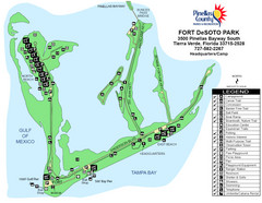
Fort De Sota Park Map
Shows facilities of Ft DeSota Park, Florida. Home of North Beach, rated #1 beach in America by...
2218 miles away
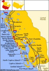
Bradenton Beach Map
Bradenton Beach and surrounding beach map.
2230 miles away
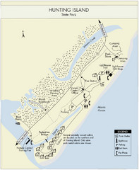
Hunting Island State Park Map
Shows facilities of Hunting Island State Park, South Carolina. Rated the #8 beach in America by...
2246 miles away
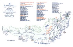
Sanibel Island Tourist Map
Tourist map of Sanibel Island, Florida
2284 miles away

Huntington Beach State Park Map
Detailed map and legend of this beautiful state park.
2306 miles away
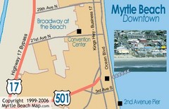
Myrtle Beach Tourist Map
2313 miles away
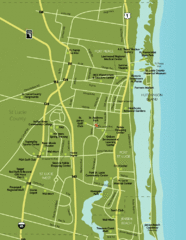
Port St. Lucie Map
Map of Port Saint Lucie.
2366 miles away
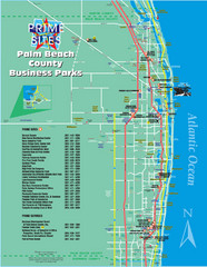
Palm Beach Tourist Map
2395 miles away
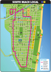
South Beach Tourist Map
Tourist map of South Beach in Miami, Florida. Rated the #5 beach in America by TripAdvisor.com...
2415 miles away
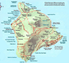
Hawaii Island Map
Detailed map of the entire island of Hawaii. Shows lava flows since 1800 and beach parks
2430 miles away

