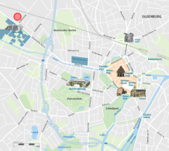
Oldenburg Center Map
Street map of Oldenburg city center
0 miles away
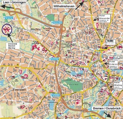
Oldenburg City Map
City map of Oldenburg with hotels
less than 1 mile away
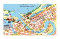
Bremerhaven City Map
City map of central Bremerhaven, Germany. Alfred Wegener Institute for Polar and Marine Research...
31 miles away
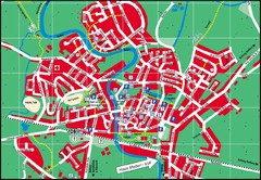
Otterndorf Map
Street map of Otterndorf
54 miles away
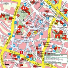
Ibbenbüren Downtown Map
Street map of Ibbenbüren city center
63 miles away
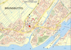
Brunsbüttel Map
Street map of Brunsbüttel and surrounding region
65 miles away
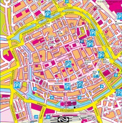
Groningen City Map
City map of central Groningen, The Netherlands. Some hotels highlighted.
69 miles away
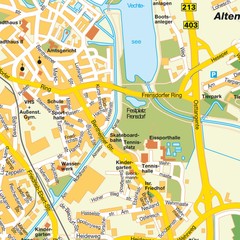
Nordhorn Center Map
Street map of Nordhorn town center
69 miles away
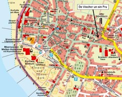
Borkum Street Map
Street map of town of Borkum
71 miles away
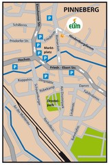
Pinneberg Center Map
Map of Pinneberg town center
75 miles away
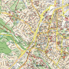
Bielefeld Street Map
Street map of central Bielefeld, Germany. Shows some points of interest.
78 miles away
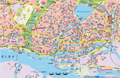
Hamburg Street Map
Street map of central Hamburg, Germany. Shows many canals.
79 miles away
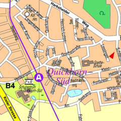
Quickborn Center Map
Street map of Quickborn town center
81 miles away
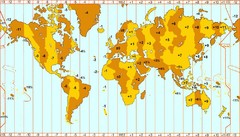
Welt Zeitzonen Map
84 miles away
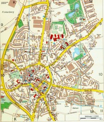
Ennirgerloh Map
Street map of Ennirgerloh
91 miles away
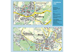
Horn-Bad Meinberg Map
Street map of Horn-Bad Meinberg and surrounding area
92 miles away
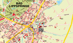
Bad Lippspringe Map
Street map of Bad Lippspringe
97 miles away
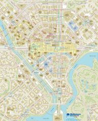
Wallensen Downtown Map
Wallensen City Downtown Map.
98 miles away
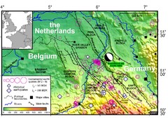
Earthquake in Lower Rhine Map
Seismotectonic map of the Lower Rhine graben system in the border area of Belgium, Germany and the...
99 miles away
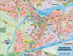
Rendsburg Map
Street map of city of Rendsburg
100 miles away
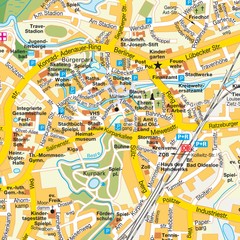
Bad Oldeshloe Map
Street map of downtown Bad Oldeshloe
100 miles away
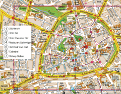
Paderborn Center Map
Street map of Paderborn city center
101 miles away
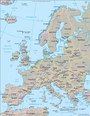
Europe Physical Map
102 miles away
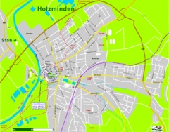
Holzminden Map
Street map of Holzminden
105 miles away
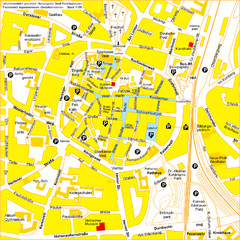
Recklinghausen Map
Street map of city
114 miles away
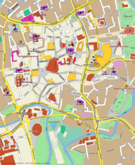
Braunschweig Map
Street map of Braunschweig center
114 miles away
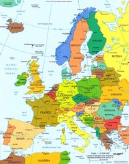
Europe Political Map
122 miles away
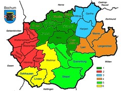
Bochum Stadtteile Map
122 miles away

