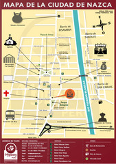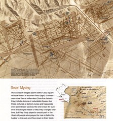
Nasca Lines Map
From National Geographic Magazine
11 miles away
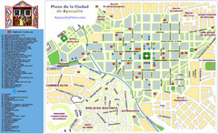
Ayacucho Tourist Map
Tourist map of town center
125 miles away
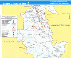
Southern Ayacucho Peru Tourist Map
Tourist Attractions, roads, cities and borders identified in Spanish.
125 miles away
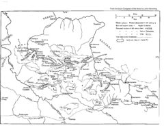
Vilcabamba Map
Shows the old Vilcabamba in Peru from the time of the Incas
153 miles away
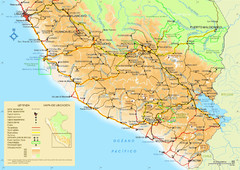
Southern Peru Map
175 miles away
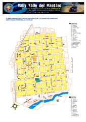
Huancayo Center Map
Map of city center with detail of local hostels
192 miles away
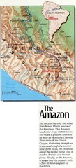
Headwaters of the Amazon Map
195 miles away
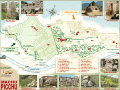
Machu Picchu tourist map
Map of Machu Picchu showing points of interest
198 miles away
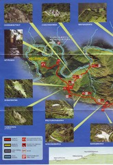
Inca Trail 1 of 2 Map
Scanned from the road system brochure given to hikers at KM82
199 miles away
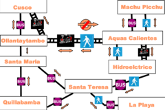
Cusco to Machu Picchu Transport Map
The Irish Guy's map of how to get from Cusco to Machu Picchu cheap.
200 miles away
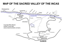
Sacred Valley Tourist Map
Map of Sacred Valley villages
218 miles away
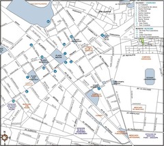
Central Cuzco Map
219 miles away
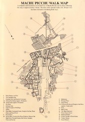
Machu Picchu Map
222 miles away
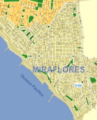
Miraflores Map
Map of Miraflores district in Lima
235 miles away
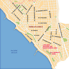
Lima Miraflores area Map
235 miles away
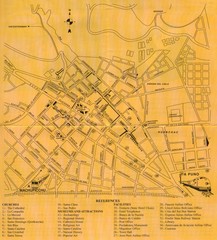
Cusco Map
235 miles away
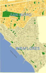
Lima City Map
City map of Lima, Peru showing San Isidro and Miraflores neighborhoods.
235 miles away
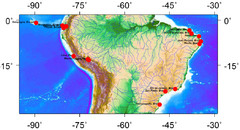
Latin America Climate Map
Latin America with Coastal Cities
237 miles away
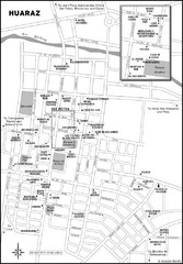
Huaraz Tourist Map
Cities and areas in Huaraz, Peru
239 miles away
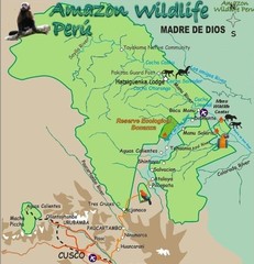
Amazon Region near Cuzco Map
246 miles away
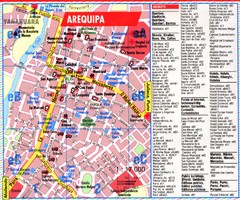
Arequipa Tourist Map
Tourist map of Arequipa, Peru. Shows streets and points of interest.
251 miles away
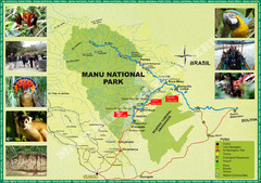
Manu National Park Map
335 miles away
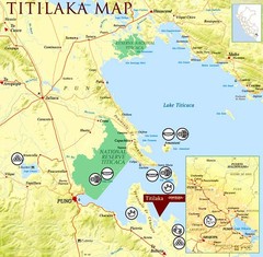
Puno / Juliaca Map
337 miles away
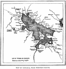
Lake Titicaca 1889 Map
342 miles away
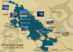
Lake Titicaca Map
343 miles away
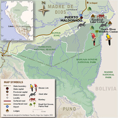
Tambopata National Reserve Map
347 miles away
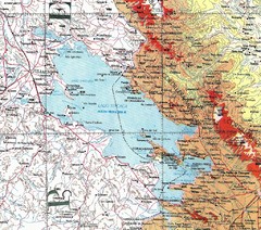
Lake Titicaca Map
372 miles away
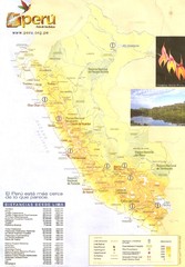
Peru Map
377 miles away
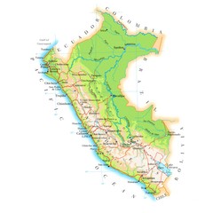
Peru Map
386 miles away
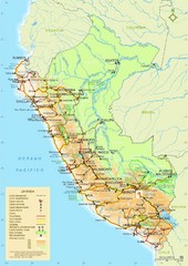
Peru Tourist Map
391 miles away
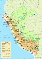
Peru Tourist Map
391 miles away
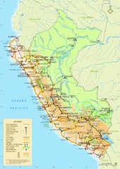
Peru Tourist Map
391 miles away
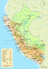
Peru Tourist Map
391 miles away
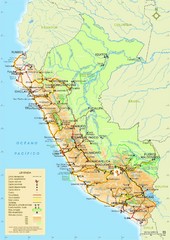
Peru Tourist Map
391 miles away

