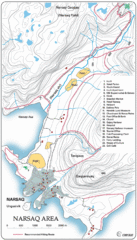
Narssaq City Map
Clearly marked city map and legend.
0 miles away
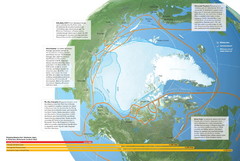
Northwest Passage Map
The ways travel could change if the Northwest Passage were to be re-opened
290 miles away
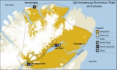
Quttinirpaaq National Park map
Official Parks Canada map of Quttinirpaaq National Park. From Parks Canada website: "Far to...
336 miles away
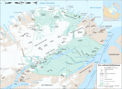
Parc National Quttinirpaaq Map
Map of Quttinirpaaq National Park, Nunavut, Canada. Shows glaciers, rivers, bodies of water, and...
341 miles away

Sirmilik National Park Map
Official map of Sirmilik National Park in Nunavut, Canada. Comprises Borden Peninsula, Bylot...
351 miles away
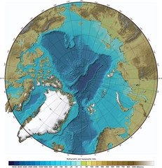
Arctic Ocean Bathymetric Map
Bathymetric map of Arctic Ocean shows all ocean topography and topographical tints for land.
421 miles away
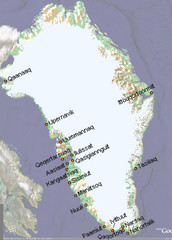
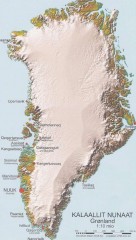
Greenland City Names Map
Map of Greenland shows city names.
466 miles away
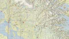
Central Baffin Island Map
487 miles away
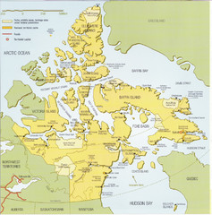
Nunavut Map
Map of Nunavut, Canada. Shows parks and geographical features in the territory.
506 miles away
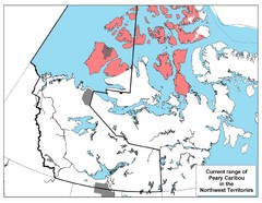
Peary Caribou Range Map
552 miles away
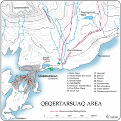
Qeqertarsuaq City Map
Clearly marked city map and detailed legend.
594 miles away
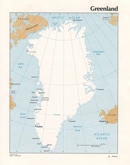
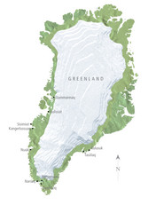
Greenland Tourist Map
611 miles away
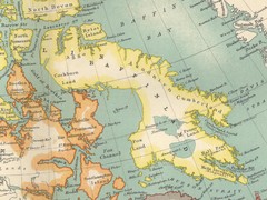
Baffin Island Map
618 miles away
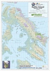
Baffin Island Map
Physical relief map shows national parks and permanent ice. See source for more info on back of...
631 miles away
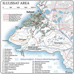
Ilulissat City Map
Detailed map and legend of this amazing city.
656 miles away
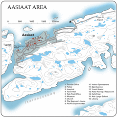
Aasiaat City Map
Clear map and legend of this beautiful city.
672 miles away
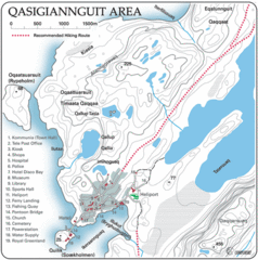
Qasigiannguit City Map
Clear and descriptive map marking facilities, roads, hotels and more.
680 miles away
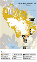
Auyuittuq National Park Map
Official map of Auyuittuq National Park. Shows glacier, emergency shelters, and warden cabins.
690 miles away
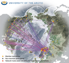
University of the Arctic Thematic Networks map
University of the Arctic represents a network with more than 100 institutions around the...
744 miles away
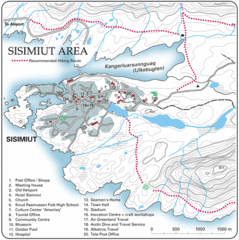
Sisimuit City Map
Clearly labeled city map and legend.
780 miles away
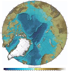
Arctic Ocean Bathymetry Map
789 miles away
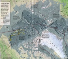
Arctic Ocean floor Map
811 miles away
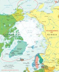
Arctic Map
Top view of all areas included in the Arctic
840 miles away
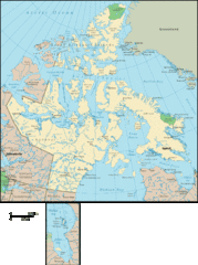
Nunavut Map
Detailed Nunavut Map, newest province in Canada
874 miles away
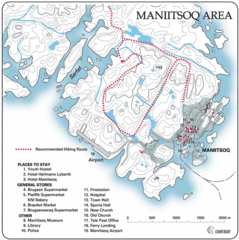
Maniitsoq City Map
Map and legend clearly marking facilities and roads.
887 miles away
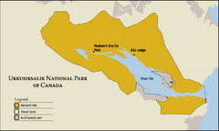
Ukkusiksalik National Park Map
Official map of Ukkusiksalik National Park in Nunavut, Canada around the Wager Bay. Shows national...
910 miles away
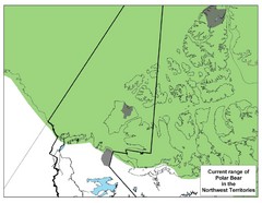
Polar Bear Range in Northwest Territories Map
910 miles away
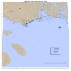
Cape Dorset Map
920 miles away
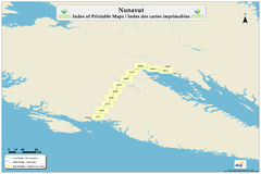
Trans Canada Trail - Nunavut : Index of Printable...
951 miles away
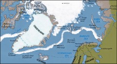
Arctic Ocean Map
Map of the Arctic Ocean. Shows the Arctic Circle
958 miles away
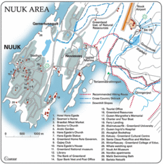
Nuuk Map
Clearly marked map with detailed legend marking facilities and resources.
979 miles away
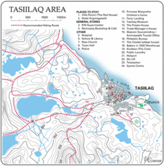
Tasiilaq City Map
Clear map marking facilities and roads.
1034 miles away
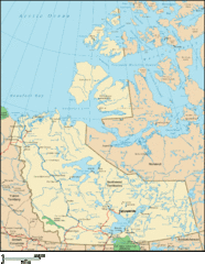
Northwest Territories Map
Overview map of the Northwest Territories of Canada.
1093 miles away
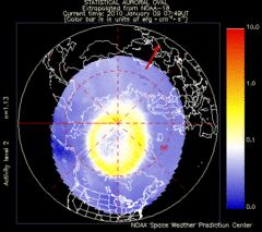
Aurora Borealis in Real Time Map
Aurora Borealis as seen by satellite superimposed on the northern hemisphere of the globe.
1103 miles away
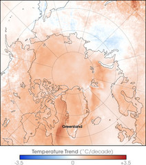
Arctic Temperature Change: 1987 -- 2007 Map
1103 miles away
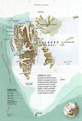
Svalbard's Ebbing Ice Map
1121 miles away
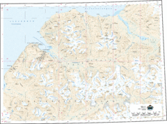
Longyearbyen Area Topo Map
Topo map of area around Longyearbyen, Svalbard Islands
1137 miles away
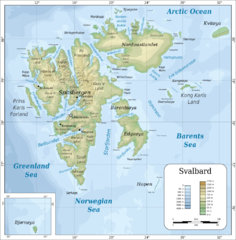
Svalbard islands topo Map
1151 miles away

