Washington maps
Top Contributors..
-
13
FadedMemory
-
12

Brigid
-
5

nava
-
4

megpecaut
Claim the World, Map by Map
Claim a country by adding the most maps.Celebrate your territory with a Leader’s Boast.
Become World Leader by claiming the most!
Washington Cities by Map Count..
- 30Seattle maps
- 6Issaquah maps
- 6Redmond maps
- 3Bellevue maps
- 3Bellingham maps
- 3Coupeville maps
- 3Edmonds maps
- 3Everett maps
- 3Kirkland maps
- 3Nordland maps
- 3Orcas maps
- 3Port Townsend maps
- 3Pullman maps
- 3Snohomish maps
- 2Anacortes maps
- 2Arlington maps
- 2Bainbridge Island maps
- 2Belfair maps
- 2Bremerton maps
- 2Chelan maps
- 2Cle Elum maps
- 2Coulee City maps
- 2Des Moines maps
- 2East Wenatchee maps
- 2Friday Harbor maps
- 2Gig Harbor maps
- 2Hunts Point maps
- 2Ilwaco maps
- 2Kennewick maps
- 2La Conner maps
- 2Lakebay maps
- 2Nine Mile Falls maps
- 2Oak Harbor maps
- 2Olga maps
- 2Olympia maps
- 2Port Angeles maps
- 2Poulsbo maps
- 2Renton maps
- 2Snoqualmie maps
- 2Snoqualmie Pass maps
- 2Spokane maps
- 2Suquamish maps
- 2Vantage maps
- 2Washtucna maps
- 2Westport maps
- 2Woodinville maps
- 2Yakima maps
- 1Anatone map
- 1Battle Ground map
- 1Bay Center map
Related Info
Washington Keywords
Washington Maps
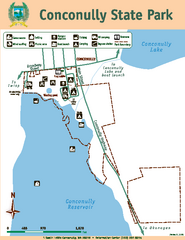
Conconully State Park Map
Map of park with detail of trails and recreation zones
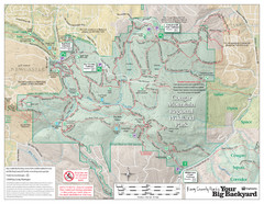
Cougar Mountain Park Trail Map
Trail map of Cougar Mountain Regional Wildland Park, part of the "Issaquah Alps"
Coupeville tourist map
Tourist map of Coupeville, Washington. Shows all businesses.
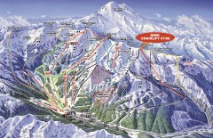
Crystal Mountain Ski Trail Map
Official ski trail map of Crystal Mountain ski area from the 2007-2008 season. 2600 acres of...
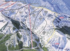
Crystal Mountain Ski Trail Map - Northway Area
Official ski trail map of the Northway area of Crystal Mountain ski area from the 2007-2008...
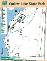
Curlew Lake State Park Map
Map of park with detail of trails and recreation zones
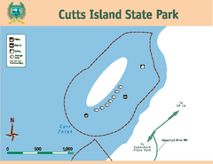
Cutts Island Stay Park Map
Map of park with detail of trails and recreation zones
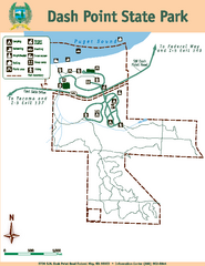
Dash Point State Park Map
Map of park with detail of trails and recreation zones
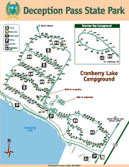
Deception Pass State Park Map
Map of park with detail of trails and recreation zones
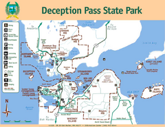
Deception Pass State Park Map
Map of park with detail of trails and recreation zones
Des Moines Washington tourist map
Tourist map of Des Moines, Washington, including Kent and SeaTac airport.
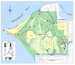
Discovery Park trail map
Trail and facility map of Discovery Park. Discovery Park is a 534 acre natural area park...
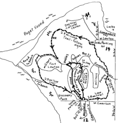
Discovery Park Walking Map Seattle Map
You can walk the Historic Parade Grounds in Fort Lawton (1.5 miles) and/or the 2.8 mile Trail...
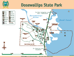
Dosewallips State Park Map
Map of park with detail of trails and recreation zones
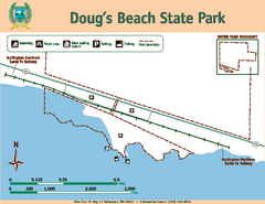
Dougs Beach State Park Map
Map of park with detail of trails and recreation zones
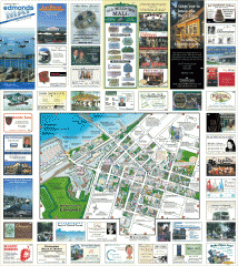
Downtown Edmonds tourist map
Tourist map of Downtown Edmonds, Washington. Shows all businesses.
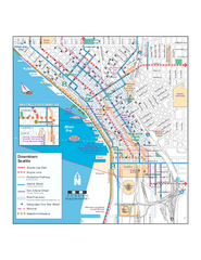
Downtown Seattle Bikeways Map
Map of bike paths, bike lanes, public transportation and points of interest in Seattle...
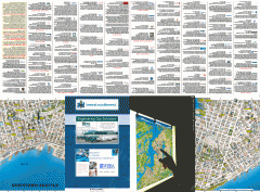
Downtown Seattle biotech map
Downtown Seattle map of biotechnology companies.


 Maps contributed
 Big Map
  Gallery