United Kingdom maps
Top Contributors..
Claim the World, Map by Map
Claim a country by adding the most maps.Celebrate your territory with a Leader’s Boast.
Become World Leader by claiming the most!
United Kingdom Cities by Map Count..
- 1Reading map
- 1Ripponden map
- 1Rotherham map
- 1Ruddington map
- 1Sale map
- 1Salford map
- 1Scholes map
- 1Seafield map
- 1Seascale map
- 1Skellingthorpe map
- 1Solihull map
- 1South Benfleet map
- 1South Brent map
- 1Stockton-on-Tees map
- 1Stromness map
- 1Sunbury map
- 1Tiverton map
- 1Usk map
- 1Uttoxeter map
- 1Wadebridge map
- 1Wargrave map
- 1West Mersea map
- 1Wetherby map
- 1Whithorn map
- 1Whittington map
- 1Woking map
- 1Woodhall Spa map
- 1Worksop map
- 0Boxgrove maps
- 0Chichester maps
- 0Dalrymple maps
- 0Lewes maps
- 0Newhaven maps
Related Info
United Kingdom Keywords
airport airports attractions beaches biking bus camping campus center city college country county europe fun germany hike hiking history hotel hotels island lake map metro mountain mountains national park nature of park parks public recreation reference region river rivers road roads routes school shopping ski area skiing street street map subway summer tourism tourist town trail trails train transportation travel university walk water
United Kingdom Maps
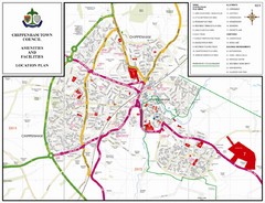
Chippenham Town Map
Near Chippenham, Wiltshire, UK
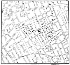
Cholera Outbreak of London Map
Map used to analyze the cholera outbreak in London, specifically South Hampton in 1853
Near South Hampton, London
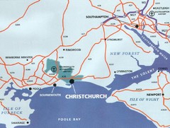
Christchurch, England Region Map
Near Christchurch, England
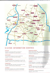
Cotswold England Tourist Map
The Cotswolds are situated in the Heart of England less than 2 Hours Drive from London. Map...
Near cirencester, England
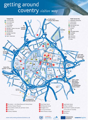
Coventry Tourist Map
Tourist map of central Coventry, England. Shows points of interest.
Near Coventry, England, UK
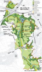
Cuerden Valley Park Map
Near Cuerden Valley Park
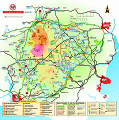
Dartmoor National Park Map
Official visitor map of Dartmoor National Park, England. Shows elevation and visitor...
Near Dartmoor National Park, England
Delaine Bus Route Map
Map of bus routes throughout from Borne to Peterborough
Near Borne, Lincolnshire, England
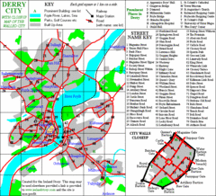
Derry/Londonderry Map
Near Derry

Diagram linking cities with Urban rail systems...
Made for the book "Transit Maps of the World" this London Underground inspired...
Near London
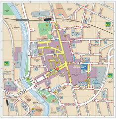
Disabled Accessible Places in Maidstone, Kent...
A guide to places in Maidstone that are wheelchair accessible.
Near Maidstone, Kent
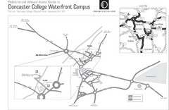
Doncaster College Waterfront Campus Map
B&W Printable version of the Doncaster College Waterfront Campus showing parking and...
Near Chappell Drive, Doncaster, England
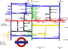
Doncaster Pup Guide Map
Near Doncaster, UK
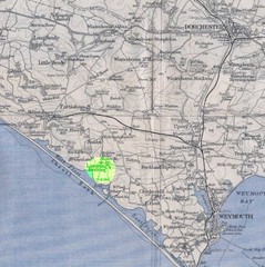
Dorchester, England Region Map
Near Dorset, England
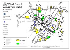
Downtown Walsall Parking Map
Near Walsall

DTb Master Diagram (early draft) Map
DUKERIES THINKBELT: MASTER DIAGRAM All elements and key
Near Kirkby-in-Ashfield, Nottinghamshire, England
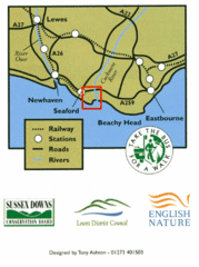
East Sussex, England Bus System Route Map
Near East Sussex, England
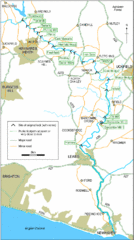
East Sussex, England City Map
Near East Sussex, England


 Maps contributed
 Big Map
  Gallery