Minnesota maps
Top Contributors..
Claim the World, Map by Map
Claim a country by adding the most maps.Celebrate your territory with a Leader’s Boast.
Become World Leader by claiming the most!
Minnesota Cities by Map Count..
- 7Minneapolis maps
- 4Afton maps
- 4Saint Paul maps
- 3Mankato maps
- 3Northfield maps
- 2Bemidji maps
- 2Bigfork maps
- 2Carlos maps
- 2Currie maps
- 2Dakota maps
- 2Duluth maps
- 2Esko maps
- 2Fairfax maps
- 2Ihlen maps
- 2Lake Bronson maps
- 2Long Lake maps
- 2Lynd maps
- 2Maiden Rock maps
- 2Mendota maps
- 2Moose Lake maps
- 2New London maps
- 2Onamia maps
- 2Proctor maps
- 2Sacred Heart maps
- 2Sandstone maps
- 2Side Lake maps
- 2Starbuck maps
- 2Taylors Falls maps
- 2Wykoff maps
- 1Albert Lea map
- 1Altura map
- 1Anoka map
- 1Battle Lake map
- 1Baxter map
- 1Belle Plaine map
- 1Biwabik map
- 1Bloomington map
- 1Burnsville map
- 1Caledonia map
- 1Claremont map
- 1Crosby map
- 1Faribault map
- 1Frontenac map
- 1Glyndon map
- 1Grand Portage map
- 1Hackensack map
- 1Hayward map
- 1Isabella map
- 1Jordan map
- 1Kensington map
Related Info
Minnesota Keywords
Minnesota Maps
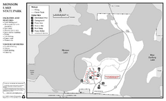
Monson Lake State Park Map
Map of park with detail of trails and recreation zones
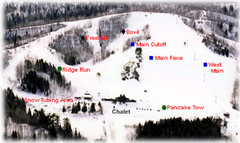
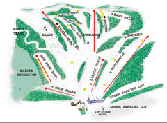
Mont du Lac Ski Area Ski Trail Map
Trail map from Mont du Lac Ski Area.
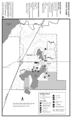
Moose Lake State Park Summer Map
Summer seasonal map of park with detail of trails and recreation zones
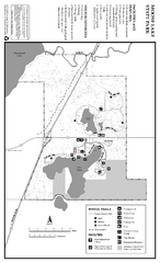
Moose Lake State Park Winter Map
Winter seasonal map of park with detail of trails and recreation zones
Mount Kato Ski Area Ski Trail Map
Trail map from Mount Kato Ski Area.
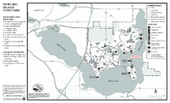
Myre-Big Island State Park Summer Map
Summer seasonal map of park with detail of trails and recreation zones
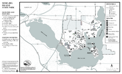
Myre-Big Island State Park Winter Map
Winter seasonal map of park with detail of trails and recreation zones
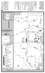
Nerstrand-Big Woods State Park Map
map of park with detail of trails and recreation zones
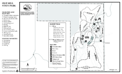
Old Mill State Park Summer Map
Summer seasonal map of park with detail of trails and recreation zones
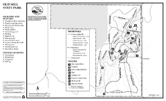
Old Mill State Park Winter Map
Winter seasonal map of park with detail of trails and recreation zones
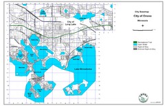
Orono City Map
City map of Orono, Minnesota. Shows DNR Luge Line Trail Railroad
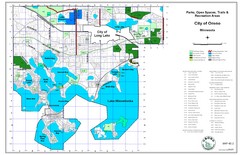
Orono City Park Map
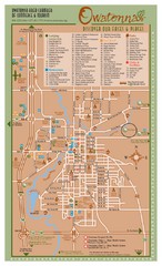
Owatonna Map
Visitor Map of Owatonna, Minnesota. Includes all streets, highways, restaurants, hotels, parks...
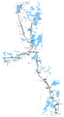
Paul Bunyan Trail Map
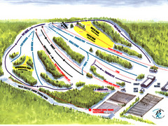
Powder Ridge Ski Area Ski Trail Map
Trail map from Powder Ridge Ski Area.
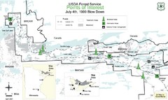
Quetico Provincial Park Map
BWCAW Visitors Map. Shows parameters of BWCAW areas, camp grounds, roads and information...
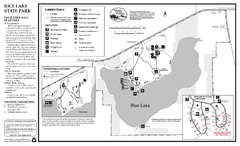
Rice Lake State Park Map
map of park with detail of trails and recreation zones


 Maps contributed
 Big Map
  Gallery