Massachusetts maps


 Maps contributed
9
FadedMemory
The Massachusetts Leader says: “You learn something new every day... remembering it is the hard part.”
Top Contributors..
Claim the World, Map by Map
Claim a country by adding the most maps.Celebrate your territory with a Leader’s Boast.
Become World Leader by claiming the most!
Massachusetts Cities by Name..
- 2Abington maps
- 2Adams maps
- 3Amherst maps
- 1Ashburnham map
- 3Ashland maps
- 2Assonet maps
- 2Baldwinville maps
- 0Belchertown maps
- 1Berlin map
- 1Billerica map
- 2Blandford maps
- 20Boston maps
- 1Boxford map
- 1Brewster map
- 1Brighton map
- 1Byfield map
- 5Cambridge maps
- 1Carlisle map
- 4Charlemont maps
- 1Charlestown map
- 1Cheshire map
- 2Chestnut Hill maps
- 1Chicopee map
- 2Concord maps
- 2Cuttyhunk maps
- 1Deerfield map
- 2Douglas maps
- 1Dover map
- 1Dracut map
- 0East Sandwich maps
- 1East Taunton map
- 0Edgartown maps
- 2Erving maps
- 1Falmouth map
- 1Feeding Hills map
- 1Foxboro map
- 1Framingham map
- 2Georgetown maps
- 1Granby map
- 1Granville map
- 3Great Barrington maps
- 1Hadley map
- 2Hancock maps
- 1Harvard map
- 1Haverhill map
- 2Hingham maps
- 2Holyoke maps
- 1Hopedale map
- 3Hopkinton maps
- 1Housatonic map
Related Info
Massachusetts Keywords
Massachusetts Maps
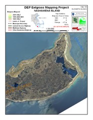
Nashawena Island Eelgrass Map
Nashoba Valley Ski Area Ski Trail Map
Trail map from Nashoba Valley Ski Area.
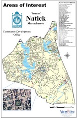
Natick Areas Of Interest Map
Shows points of interest in town of Natick, Massachusetts. Inset of downtown Natick.
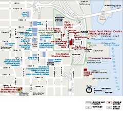
New Bedford Whaling National Historical Park...
Official NPS map of New Bedford Whaling National Historical Park in Massachusetts. Map shows...
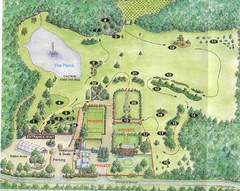
Newbury Perrenial Gardens Guide Map
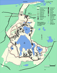
Nickerson State Park trail map
Trail map of Nickerson State Park in Massachusetts.
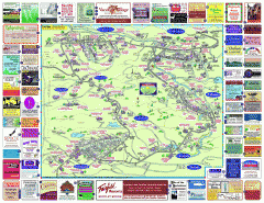
North County Berkshires map
Tourist map of North County - Pittsfield, N. Adams, Adams, Lanesboro, Cheshire, Williamstown...
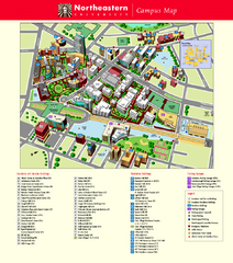
Northeastern University Map
Northeastern University Campus Map. All areas shown.
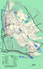
October Mountain State Forest trail map
Trail map of October Mountain State Forest in Massachusetts.
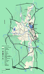
Otter River State Forest summer trail map
Summer trail map of the Otter River State Forest area in Massachusetts.
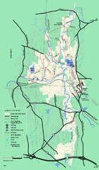
Otter River State Forest winter trail map
Winter usage trail map for Otter River State Park in Massachusetts.
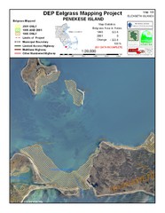
Penekese Island Eelgrass Map
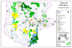
Pepperell Conservation Land and Open Spaces Map
Map showing conservation land and open spaces in Pepperell, MA.
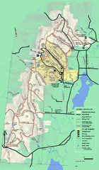
Pittsfield State Forest summer trail map
Summer use trail map of Pittsfield State Forest in Massachusetts.
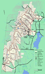
Pittsfield State Forest winter trail map
Winter use trail map of Pittsfield State Forest in Massachusetts.
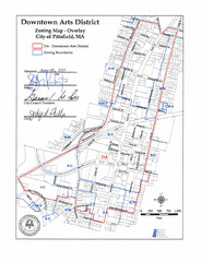
Pittsfield,, Massachusetts City Map
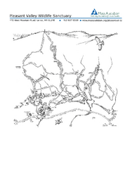
Pleasant Valley Wildlife Sanctuary Trail Map
Trail map of Pleasant Valley Wildlife Sanctuary
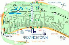
Provincetown, Massachusetts Map
Tourist map of Provincetown, Massachusetts. Shows beaches, visitor's center, bike trails...

 Big Map
  Gallery