Massachusetts maps


 Maps contributed
9
FadedMemory
The Massachusetts Leader says: “You learn something new every day... remembering it is the hard part.”
Top Contributors..
Claim the World, Map by Map
Claim a country by adding the most maps.Celebrate your territory with a Leader’s Boast.
Become World Leader by claiming the most!
Massachusetts Cities by Name..
- 2Abington maps
- 2Adams maps
- 3Amherst maps
- 1Ashburnham map
- 3Ashland maps
- 2Assonet maps
- 2Baldwinville maps
- 0Belchertown maps
- 1Berlin map
- 1Billerica map
- 2Blandford maps
- 20Boston maps
- 1Boxford map
- 1Brewster map
- 1Brighton map
- 1Byfield map
- 5Cambridge maps
- 1Carlisle map
- 4Charlemont maps
- 1Charlestown map
- 1Cheshire map
- 2Chestnut Hill maps
- 1Chicopee map
- 2Concord maps
- 2Cuttyhunk maps
- 1Deerfield map
- 2Douglas maps
- 1Dover map
- 1Dracut map
- 0East Sandwich maps
- 1East Taunton map
- 0Edgartown maps
- 2Erving maps
- 1Falmouth map
- 1Feeding Hills map
- 1Foxboro map
- 1Framingham map
- 2Georgetown maps
- 1Granby map
- 1Granville map
- 3Great Barrington maps
- 1Hadley map
- 2Hancock maps
- 1Harvard map
- 1Haverhill map
- 2Hingham maps
- 2Holyoke maps
- 1Hopedale map
- 3Hopkinton maps
- 1Housatonic map
Related Info
Massachusetts Keywords
Massachusetts Maps
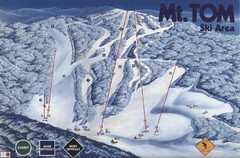
Mount Tom Ski Trail Map
Trail map from Mount Tom, which provides downhill skiing. This ski area opened in 1962.
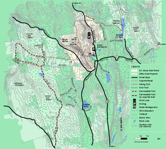
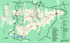
Mt. Grace State Forest trail map
Trail map of Mt. Grace State Forest near Warwick, Massachusetts.
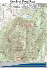
Mt. Greylock Road Race Course Map
Course map of the annual Mount Greylock Road Race. 8 Miles (uphill). Start/Finish: Mt...
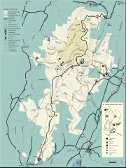
Mt. Greylock State Reservation map
Official summer map of the Mount Greylock State Reservation. At 3,491 feet, Mount Greylock is...
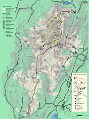
Mt. Greylock State Reservation summer trail map
Summer trail map of the Mt. Greylock State Park area in Massachusetts.
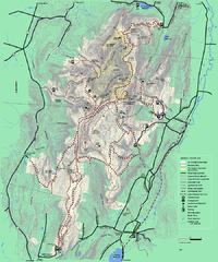
Mt. Greylock State Reservation winter trail map
Winter use trail map of Mt. Greylock State Park in Massachusetts.
Mt. Pisgah Map - Northboro, Berlin, Boylston...
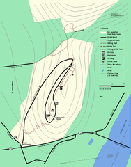
Mt. Sugarloaf State Reservation trail map
Trail map of Mount Sugarloaf State Reservation
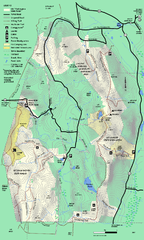
Mt. Washington State Forest trail map
Trail map of Mt. Washington State Forest
Mt. Watatic to Wachusett Mountain...
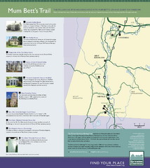
Mum Bett's Trail Map
Historic African American trail guide
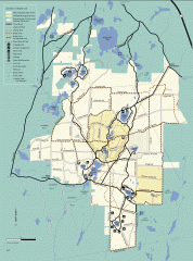
Myles Standish State Forest summer trail map
Map of all the trails and roads in Myles Standish State Park, MA. 15 miles of bicycle trails...
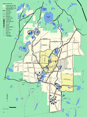
Myles Standish State Forest trail map
Summer trail map for Myles Standish State Forest.
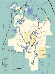
Myles Standish State Forest winter trail map
Winter activity map of all the trails and roads in Myles Standish State Park, MA. Cross country...
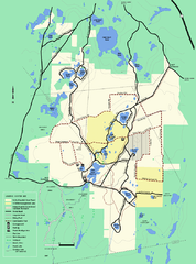
Myles Standish State Forest Winter trail map
Myles Standish State Forest winter use trail map.
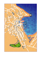
Nantucket Town Street Map
Tourist map of town of Nantucket on Nantucket Island. Shows major streets and points of...

 Big Map
  Gallery