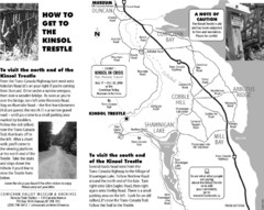
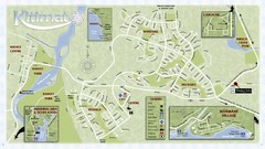
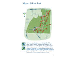
British Columbia maps
Top Contributors..
-
13

Mapophile
-
5

nava
-
4

powderdave
-
4

nicky
Claim the World, Map by Map
Claim a country by adding the most maps.Celebrate your territory with a Leader’s Boast.
Become World Leader by claiming the most!
British Columbia Cities by Map Count..
- 21Victoria maps
- 15Whistler maps
- 11Vancouver maps
- 10Fernie maps
- 6Golden maps
- 6North Vancouver maps
- 6Revelstoke maps
- 6Rossland maps
- 4Lions Bay maps
- 4New Westminster maps
- 4Prince George maps
- 3Nanaimo maps
- 3Sechelt maps
- 2Kamloops maps
- 2Kimberley maps
- 2Smithers maps
- 2Sooke maps
- 2Trail maps
- 1Ashcroft map
- 1Chetwynd map
- 1Dawson Creek map
- 1Houston map
- 1Nelson map
- 1Peachland map
- 1Pemberton map
- 1Penticton map
- 1Port Alberni map
- 1Princeton map
- 1Salmo map
- 1Summerland map
- 1Williams Lake map
Related Info
British Columbia Keywords
British Columbia Maps
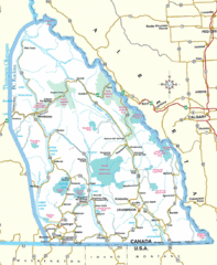
Kootenay Mountains Map
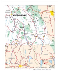
Kootenay Rockies Map
The Kootenay Rockies Range in British Columbia, Canada
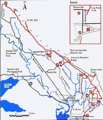
Log Train Trail Map
Trail map of the Log Train Trail near Port Alberni, Vancouver Island
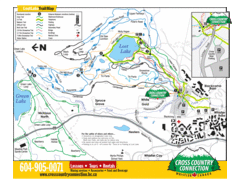
Lost Lake, Whistler Hiking and Biking Trail Map
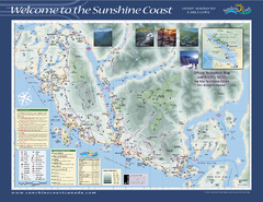
Lower Sunshine Coast Recreation Map
Recreation map of the Lower Sunshine Coast in BC. Shows hiking trails, mountain biking trails...
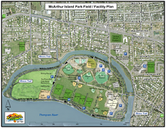
MacArthur Island Park Map
Park map of MacArthur Island Park in the Thompson River in Kamloops, BC. Shows Rivers Trail...
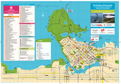
Map of Greater Vancouver
Tourism Vancouver's official map of Greater Vancouver. Shows accomodations, attractions...
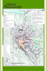
Mount Arrowsmith Climbing Route Map
Climbing routes on Mount Arrowsmith, Vancouver Island
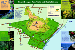
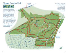
Mount Douglas Park Trails and Habitat Zones Map
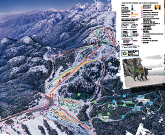
Mount Seymour Ski Trail Map
Trail map from Mount Seymour, which provides downhill, night, and terrain park skiing. It has 5...
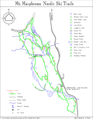
Mt Macpherson Nordic Ski Trail map
Nordic ski trail map of Mt Macpherson area near Revelstoke, BC. Shows trail names and...
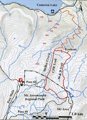
Mt. Arrowsmith Park CPR Historic Trail Map
Trail map of Mt. Arrowsmith Regional Park CPR Historic Trail, Vancouver Island
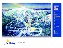
Mt. Baldy Family Ski Area Ski Trail Map
Trail map from Mt. Baldy Family Ski Area.
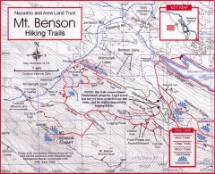
Mt. Benson Hiking Trail Map
Show hiking trails in the Nanaimo and Area Land Trust containing Mt. Benson. Also shows roads...
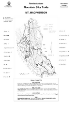
Mt. Macpherson Mountain Bike Trail Map
Mountain bike trail maps of Mt. Macpherson area and Mt. Mackenzie area right out of the town of...


 Maps contributed
 Big Map
  Gallery