Austria maps
Top Contributors..
Claim the World, Map by Map
Claim a country by adding the most maps.Celebrate your territory with a Leader’s Boast.
Become World Leader by claiming the most!
Austria Cities by Map Count..
- 9Wien maps
- 4Mayrhofen maps
- 3Innsbruck maps
- 3Saalbach maps
- 2Fügen maps
- 2Graz maps
- 2Linz maps
- 2Neustift im Stubaital maps
- 2Salzburg maps
- 2Sankt Anton am Arlberg maps
- 1Arnoldstein map
- 1Bad Gastein map
- 1Baden map
- 1Ebbs map
- 1Fieberbrunn map
- 1Freilassing map
- 1Gerlos map
- 1Hallstatt map
- 1Hopfgarten im Brixental map
- 1Kitzbühel map
- 1Lienz map
- 1Mariazell map
- 1Radstadt map
- 1Schladming map
- 1Semmering map
- 1Sölden map
- 1Steinhaus am Semmering map
- 1Tamsweg map
- 1Vienna map
- 1Völs map
Related Info
Austria Keywords
Austria Maps
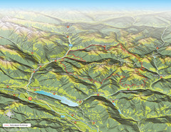
Nockberge National Park Map
Outline map of Nockberge National Park, Austria in the summer. Shows surrounding towns.
Planai-Hochwurzen Ski Trail Map
Trail map from Schladming.
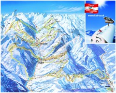
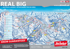
Saalbach and Hinterglemm Ski Trail map
Official ski trail map of Saalbach and Hinterglemm area from the 2006-2007 season. In German.
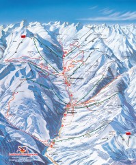
Saalbach and Hinterglemm Winter walks map
Panoramic map showing winter walks in the Saalbach and Hinterglemm Austria area.
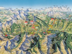
Saalbach Hinterglemm Summer Hiking Map
Summer panorama map of Saalbach and Hinterglemm Austria area. Shows trails, lifts, huts, and...
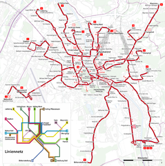
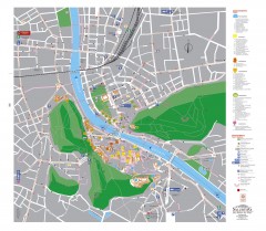
Salzburg Trolleybus Map
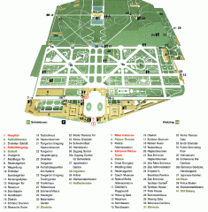
Schonbrunn Palace map
From Wikipedia: Schonbrunn Palace (German: Schloss Schonbrunn) in Vienna is one of the most...
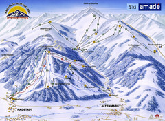
Ski Amade Map
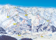
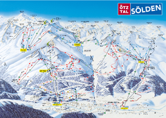
Solden Ski Trail Map
Ski trail map of the Solden ski area in the Tyrol region of Austria.
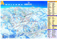
St Anton Region Ski map
Panoramic ski map covers St. Anton, St. Christoph, St. Jakob, Stuben, Zurs, Zug, Lech, and...
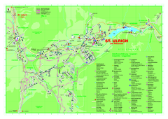
St. Ulrich am Pillersee Map
Village map of St. Ulrich am Pillersee, Austria
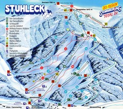
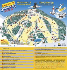
Stuhleck – Spital am Semmering Ski Trail...
Trail map from Stuhleck – Spital am Semmering, which provides downhill skiing. This ski...
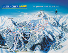
Turracher Höhe Ski Trail Map
Trail map from Turracher Höhe.
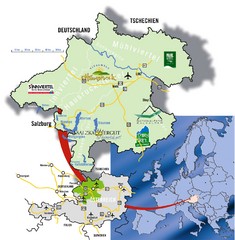
Upper Austria Tourist Map
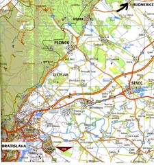


 Maps contributed
 Big Map
  Gallery