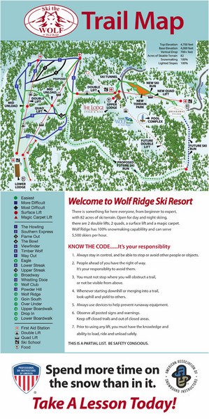
Wolf Laurel Ski Resort Ski Trail Map
near North Carolina, United States
See more
 See more
Nearby Maps

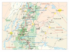
Appalachian Trail in North Carolina Map
Appalachian Trail in North Carolina. Shows major summits, National Forests, and hiking clubs.
9 miles away
Near Burnsville, North Carolina

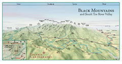
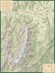
Black Mountains Panorama Map
This map portrays a sweeping vista of the Black Mountains and South Toe River Valley - extending...
12 miles away
Near burnsville, north carolina

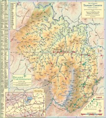
Yancey County Chamber of Commerce Map
Map of Yancey County, North Carolina. Shows all public roads, communities, hiking trails and picnic...
14 miles away
Near burnsville, north carolina

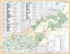
Pisgah National Forest and Nantahala National...
Pisgah National Forest and Nantahala National Forest recreation map. Contains list of all...
14 miles away
Near Greenmountain, North Carolina

Black Mountains and South Toe and Cane River...
Guide to recreation around Mt. Mitchell State Park and Black Mountains
17 miles away
Near Mt. Mitchell, NC, US

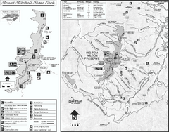
Mount Mitchell State Park map
Detailed recreational map for Mt. Mitchell State Park in North Carolina
19 miles away
Near Burnsville, North Carolina 28714

 click for
 Fullsize

0 Comments
New comments have been temporarily disabled.