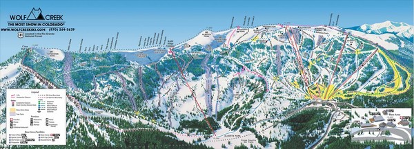
Wolf Creek Ski Area Ski Trail Map
View Location
Trail map from Wolf Creek Ski Area, which provides downhill and nordic skiing. It has 7 lifts servicing 77 runs; the longest run is 3218.687897002'. This ski area opened in 1938, and has its own website.
See more

 See more
Nearby Maps

Wolf Creek Ski Trail Map
Official ski trail map of Wolf Creek ski area
less than 1 mile away
Near Pagosa Springs, Colorado

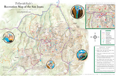
San Juan Mountains Trail Map
2 miles away
Near San Juan Mountains, CO

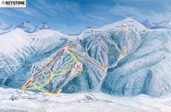
Keystone Ski Area Map
Ski trails, lifts and mountain elevations for Keystone and Bear Mountain, Colorado.
31 miles away
Near Bear Mountain, Colorado

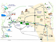
San Luis Valley Tourist Map
Tourist map of San Luis Valley, Colorado area. Shows attractions.
32 miles away
Near South Fork, Colorado

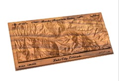
Lake City, CO carved by carvedmaps.com Map
Lake City, CO map carved by carvedmaps.com
43 miles away
Near Lake City, CO

Ouray, Colorado area map
Regional artistic aerial view of the Ouray area and surrounding San Juan Mountains. Shows...
49 miles away
Near Ouray, CO

 click for
 Fullsize

0 Comments
New comments have been temporarily disabled.