Edit this map

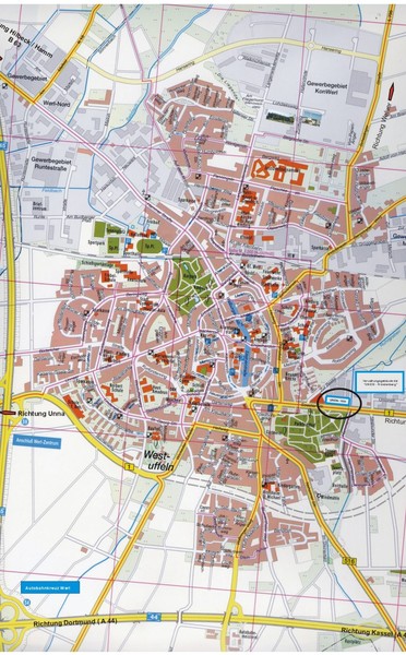
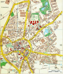
Werl City Map

near Werl, Germany

View LocationView Map

51.5530511 7.9141647 14 satellite
Nearest Map »  Fullsize
900 × 1450347 KBJPG

Street map of Werl

From www.gws-werl.de

MapAddict added
Oct 1, 2010

Rating
no ratings

See an error? Report it.

Keywords

reference, street map, downtown, city, town

0 Comments

New comments have been temporarily disabled.
.
See more

Nearby Maps

Hamm Center Tourist Map

Hamm Center Tourist Map

Tourist street map of Hamm center

10 miles away

Near Hamm, Germany
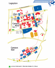
Universitat Dortumund Campus Map

Universitat Dortumund Campus Map

13 miles away

Near Otto-Hahn-Straße 14, Dortmund
Keywords: school, city, deutschland
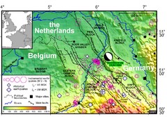
Earthquake in Lower Rhine Map

Earthquake in Lower Rhine Map

Seismotectonic map of the Lower Rhine graben system in the border area of Belgium, Germany and the...

15 miles away

Near Belgium
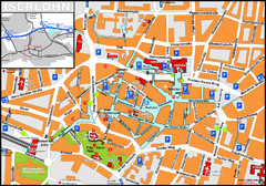
Iserlohn Map

Iserlohn Map

Street map of Iserlohn

15 miles away

Near Iserlohn, Germany
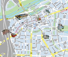
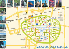
Dortmund Tourist Map

Dortmund Tourist Map

Tourist map of central Dortmund, Germany. Shows photos of points of interest along a walking audio...

20 miles away

rated 4.25 by 4 people
Near Dortmund, Germany
Ennirgerloh Map

Ennirgerloh Map

Street map of Ennirgerloh

20 miles away

Near Ennirgerloh, Germany
See more