Edit this map

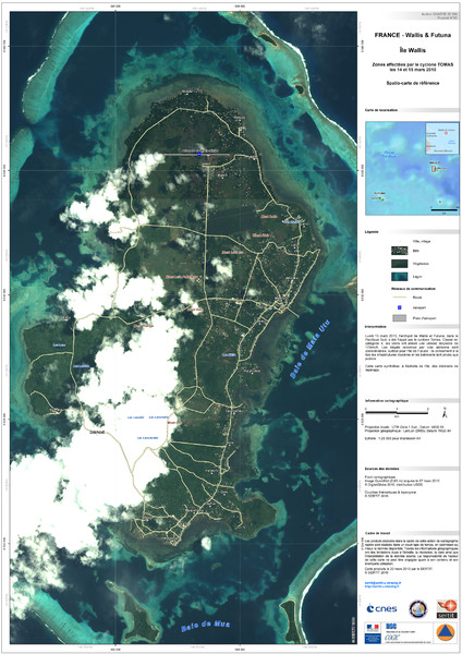
Wallis Cyclone Map

near Wallis Island

View LocationView Map

-13.2959105 -176.2056843 12 satellite
Nearest Map »  Fullsize
3508 × 49672.3 MBJPG

Shows zones of Wallis Island affected by cyclone Tomas in March 2010

Created 3/20/2010 by SERTIT
From disasterscharter.org/

Mapophile added
Jul 24, 2011

Rating
no ratings

See an error? Report it.

Keywords

events, island, disaster, cyclone

0 Comments

New comments have been temporarily disabled.
.
See more

Nearby Maps

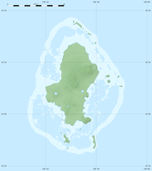
Physical Map of Wallis Island

Physical Map of Wallis Island

0 miles away

Near Wallis Island
Keywords: reference, island, blank
Wallis Islands Postcard Map

Wallis Islands Postcard Map

0 miles away

Near Wallis Islands
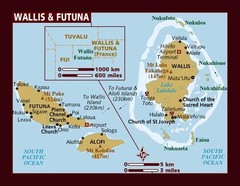
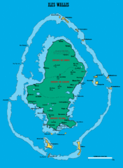
Wallis and Futuna Map

Wallis and Futuna Map

less than 1 mile away

Near Wallis and Futuna
Keywords: reference
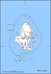
Wallis Topo Map

Wallis Topo Map

less than 1 mile away

Near Wallis Island
Keywords: reference, topo, island
Wallis Island Map

Wallis Island Map

less than 1 mile away

rated 3 by 1 person
Near Wallis Islands
Keywords: reference, island
Wallis Location Map

Wallis Location Map

shared under http://creativecommons.org/licenses/by-sa/3.0/deed.en

less than 1 mile away

Near Wallis Island
Keywords: reference, blank, island, reef
See more