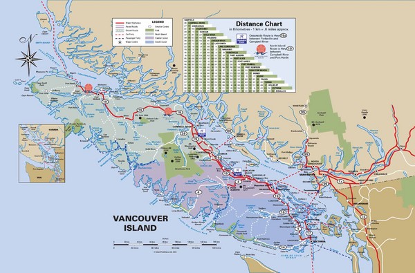
Vancouver Island Map
near Vancouver Island
See more
 See more
Nearby Maps

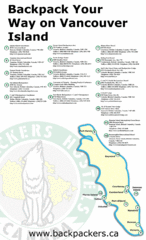
Vancouver Island Backpacking Map
Shows hostels on Vancouver Island, BC
less than 1 mile away
Near Vancouver Island, BC

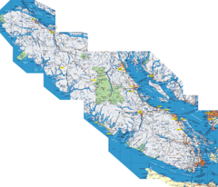
Vancouver Island Map
Detailed map of Vancouver Island, British Columbia. Shows towns, roads, and parks.
less than 1 mile away
Near Vancouver Island, BC

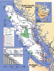
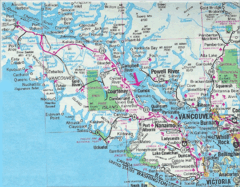
Vancouver Island Road Map
4 miles away
Near Vancouver Island, BC

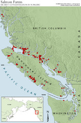
BC Salmon Farms Map
Shows fishfarms in BC around Vancouver Island, highest concentration of fish farms in North Pacific
16 miles away

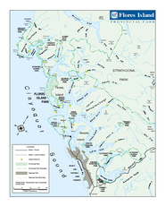
Flores Island Provincial Park Area Map
Park map of area around Flores Island Provincial Park, BC in the Clayoquot Sound. Flores Island is...
22 miles away
Near Flores Island, BC

Vancouver Island Road Map
25 miles away
Near Vancouver Island, Canada

 click for
 Fullsize


0 Comments
New comments have been temporarily disabled.