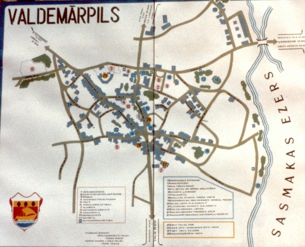
Valdemarpils Tourist Map
near Valdemarpils, Latvia
See more

 See more
Nearby Maps

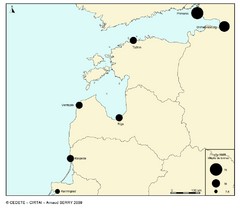
baltic ports in 2008 Map
15 miles away
Near Upesgrīva, Latvia

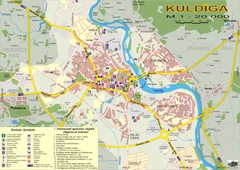
Kuldiga city Map
36 miles away
Near kuldiga latvia

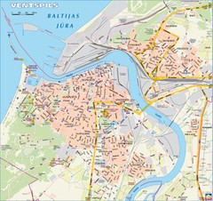
Ventspils city Map
37 miles away
Near ventspils latvia

Jurmala Map
48 miles away
Near Jurmala

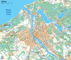
Greater Riga Map
Map of region around Riga, Latvia. Shows roads, towns, and neighborhoods.
63 miles away
Near Riga, Latvia

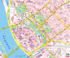
Riga Tourist Map
Tourist map of Riga, Latvia. Shows locations of museums, hotels, and other points of interest.
64 miles away
Near Riga, Latvia

 click for
 Fullsize


0 Comments
New comments have been temporarily disabled.