Edit this map

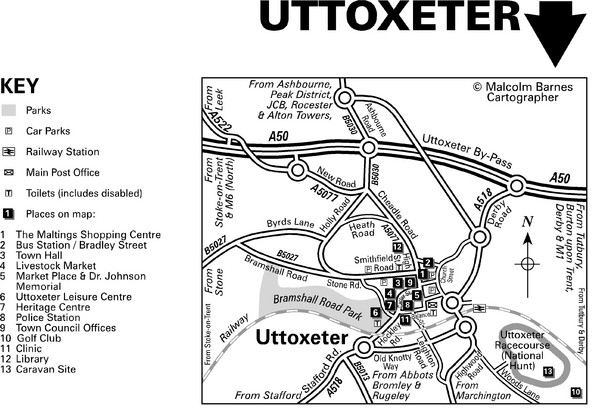
Uttoxeter Town Centre Map

near Uttoxeter, England

View LocationView Map

52.8977715473035 -1.86450004577637 14 satellite
Nearest Map »  Fullsize
3193 × 2220821 KBJPG

From enjoyeaststaffs.co.uk

Jackie added
Jan 24, 2009

Rating
no ratings

See an error? Report it.

Keywords

reference, town, street map, parks

0 Comments

New comments have been temporarily disabled.
See more

Nearby Maps

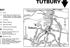
Tutbury Town Centre Map

Tutbury Town Centre Map

8 miles away

Near Tutbury, England
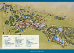
Weston Park Estate Map

Weston Park Estate Map

11 miles away

Near Weston Park, Staffordshire, England
Keywords: reference, estate, park, venue
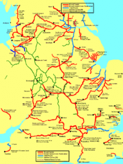
UK Broad Beam Canal Map

UK Broad Beam Canal Map

Guide to UK waterways that accommodate a barge

14 miles away

Near UK
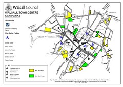
Downtown Walsall Parking Map

Downtown Walsall Parking Map

22 miles away

Near Walsall
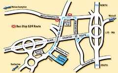
Bentley Map

Bentley Map

Location map for Bentley. Includes roads, bus stops, and directions to Bentley Pavilion.

23 miles away

Near Bentley, UK
Keywords: tourism, bus, stops
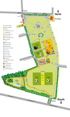
Palfrey Park Map

Palfrey Park Map

Detail map of Palfrey Park

23 miles away

Near Palfrey Park, UK
See more