Tignes Ski Resort Town Map
near Tignes, France
View Location
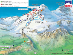
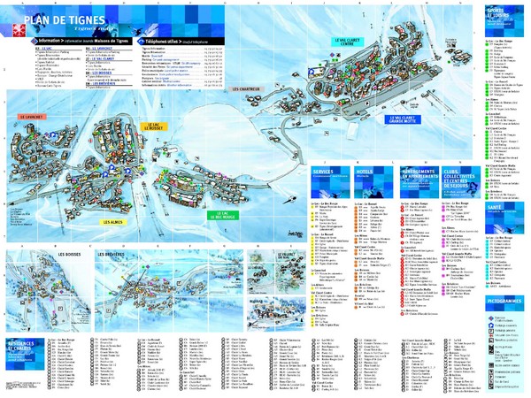
Map of the ski resort town of Tignes, France. Shows residences, hotels, services, clubs, and other points of interest.
See more
 See more
Nearby Maps

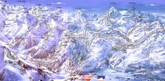
Espace Killy (Val D’Isere, Tignes) Tignes...
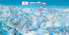
Trail map from Espace Killy (Val D’Isere, Tignes).
4 miles away
Near Val-d'Isère, Rhône-Alpes, France

Espace Killy (Val D’Isere, Tignes) Ski Trail Map
Trail map from Espace Killy (Val D’Isere, Tignes).
4 miles away
Near Val-d'Isère, Rhône-Alpes, France

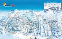
Paradiski Ski Trail Map
Official ski trail map of Paradiski ski areas from the 2007-2008 season. Includes Les Arcs, Peisey...
9 miles away
Near Bourg-St-Maurice, France

Les Arcs Ski Trail Map
Official ski trail map of Les Arcs ski area from the 2007-2008 season.
9 miles away
Near Bourg-St-Maurice, France

Paradiski Paradi Ski Trail Map
Trail map from Paradiski.
10 miles away
Near Peisey-Nancroix, Rhône-Alpes, France

 click for
 Fullsize


0 Comments
New comments have been temporarily disabled.