Texas Map
near houston, texas
View Location
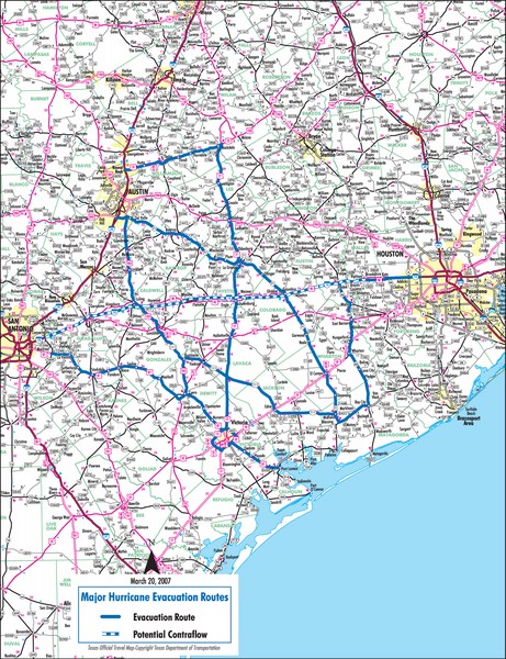
Includes the major roads surrounding Austin, Houston and San Antonio to travel during storms.
See more

 See more
Nearby Maps

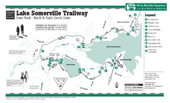
Lake Somerville, Texas - Nails Creek and Birch...
13 miles away
Near Lake Somerville, Texas

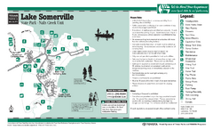
Lake Somerville, Texas - Nails Creek State Park...
13 miles away
Near Lake Somerville, Texas

Lake Somerville, Texas - Birch Creek State Park...
13 miles away
Near Lake Somerville, Texas

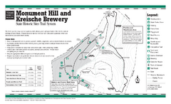
Monument Hill, Texas State Park Trail Map
21 miles away
Near Monument Hill, Texas

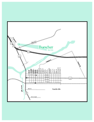
Buescher, Texas State Park Map
30 miles away
Near 100 Park Rd 1C, Smithville, TX

Old Town Columbus Map
30 miles away
Near Columbus, Texas

 click for
 Fullsize


0 Comments
New comments have been temporarily disabled.