Edit this map

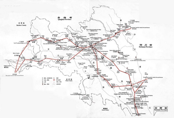
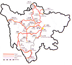
Tea Horse Caravan Route Map

near Qinghai Province, China

View LocationView Map

30.4486736792876 101.07421875 5 satellite
Nearest Map »  Fullsize
2000 × 1365198 KBJPG

The Tea Horse Road had two main routes stemming from Yunnan and Sichuan respectively and converging in Tibet before heading to Nepal and India

Created by China Trekking
From chinatrekking.com

johns added
Jan 25, 2009

Rating
no ratings

See an error? Report it.

Keywords

transportation

0 Comments

New comments have been temporarily disabled.
See more

Nearby Maps

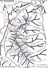
Minya Konka Trekking Map

Minya Konka Trekking Map

Trekking map of Minya Konka (Mt. Gongga / Gongga Shan). Minya Konka is located in eastern Tibet...

67 miles away

rated 3 by 1 person
Near Dardo, China
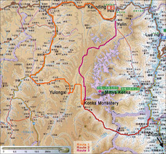
Minya Konka Trek Map

Minya Konka Trek Map

Trails.

78 miles away

Near minya konka
Keywords: tourism, trails, minya, konka
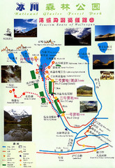
Hailuogou National Glacier Park Map

Hailuogou National Glacier Park Map

Trails, rivers and lakes.

89 miles away

Near Detuo
Keywords: tourism, trails, rivers
Sichuan Tourist Map

Sichuan Tourist Map

Road and trail guide to Sichuan area of China

92 miles away

Near Sichuan, China
Keywords: tourism, drive, hike, railway
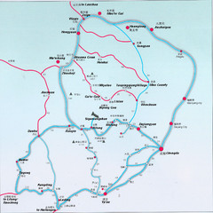
West Sichuan Trek Map

West Sichuan Trek Map

Trekking map.

103 miles away

Near ya'an
Keywords: tourism, trek
Asia Map

Asia Map

Study guide Tuesday night

142 miles away

Near Asia
See more