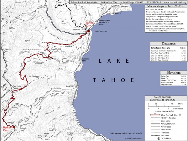
Tahoe Rim Trail: Barker Pass to Tahoe City Map
near lake tahoe, ca
View Location
Topographic hiking map of the Barker Pass-Tahoe City leg of the Tahoe Rim Trail. Shows trailheads, pedestrian and bike trails, campgrounds and other pertinent information.
See more
 See more
Nearby Maps

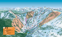
Alpine Meadows Ski Trail Map (Front)
Official ski trail map of Alpine Meadows ski area from the 2005-2006 season.
3 miles away
Near Tahoe City, CA

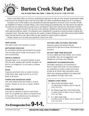
Burton Creek State Park Map
Map of park with detail of trails and recreation zones
4 miles away
Near North Shore, Lake Tahoe, CA

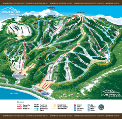
Homewood Mountain Resort Ski Trail Map
Trail map from Homewood Mountain Resort, which provides downhill and terrain park skiing. It has 7...
4 miles away
Near Tahoma, California, United States

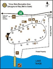
Tahoe State Recreation Area Campground Map
Map of park with detail of trails and recreation zones
4 miles away
Near Tahoe State Recreation Area, Tahoe, CA

Alpine Meadows Ski Area Backside Ski Trail Map
Trail map from Alpine Meadows Ski Area, which provides downhill and terrain park skiing. It has 13...
4 miles away
Near California, United States

Homewood Ski Trail Map
Official ski trail map of Homewood ski area from the 2007-2008 season.
4 miles away
Near 5145 Westlake Blvd. Homewood CA 96141

 click for
 Fullsize


0 Comments
New comments have been temporarily disabled.