Sun Valley—Bald Mountain Ski Trail Map
near Ketchum, Idaho, United States
View Location
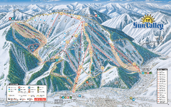
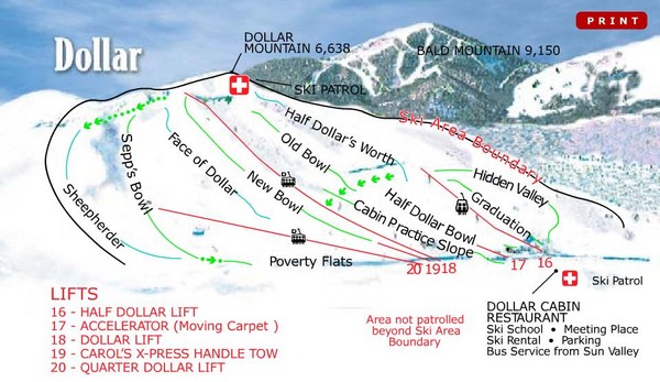
Trail map from Sun Valley—Bald Mountain, which provides downhill, nordic, and terrain park skiing. It has 19 lifts servicing 75 runs; the longest run is 4828.031845503'. This ski area opened in 1937, and has its own website.
See more

 See more
Nearby Maps

Sun Valley Ski Trail Map 2008
Ski trail map of Sun Valley ski area
less than 1 mile away
Near Ketchum, Idaho

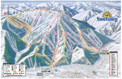
Sun Valley Ski Area Trail Map
Official ski trail map of Bald Mountain, the main mountain of Sun Valley ski area in Sun Valley...
less than 1 mile away
Near Sun Valley, Idaho 83353

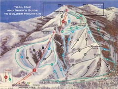
Soldier Mountain Ski Trail Map
Trail map from Soldier Mountain, which provides downhill and terrain park skiing. It has 3 lifts...
23 miles away
Near Soldier Mountain, Camas, Idaho 83327

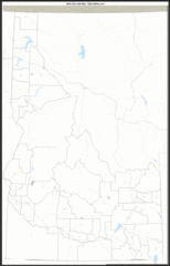
Idaho Zip Code Map
Check out this Zip code map and every other state and county zip code map zipcodeguy.com.
33 miles away
Near Idaho

Idaho Road Map
33 miles away
Near Idaho

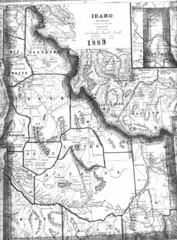
Idaho 1883 Map
33 miles away
Near Idaho

 click for
 Fullsize

0 Comments
New comments have been temporarily disabled.