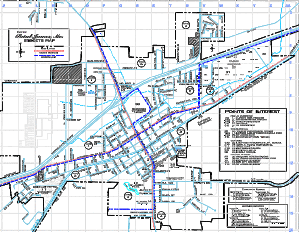
St James Street Map
near St. James, Missouri
See more
 See more
Nearby Maps

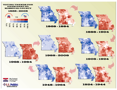
Voting Trends for President by Missouri County Map
12 miles away
Near missouri

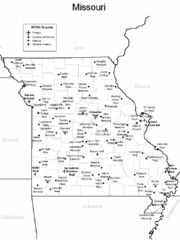
Missouri Airports Map
12 miles away
Near Missouri

Missouri Voters Guide Map
19 miles away
Near Missouri

Powder Valley Map
Map of Powder Valley, includes all freeways, streets, waterways, and county divisions.
39 miles away
Near St. Louis, Missouri, USA

Ozark Trail Map
57 miles away
Near cuivre river state park, Missouri, USA

 click for
 Fullsize


0 Comments
New comments have been temporarily disabled.