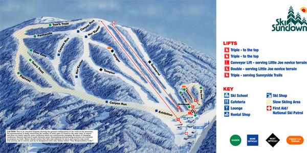
Ski Sundown Ski Trail Map
near New Hartford, Connecticut, United States
View Location
Trail map from Ski Sundown, which provides downhill and night skiing. It has 5 lifts servicing 15 runs; the longest run is 1609.343948501'. This ski area opened in 1969, and has its own website.
See more
 See more
Nearby Maps

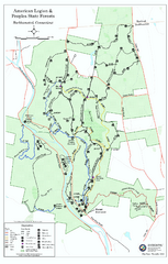
American Legion State Forest trail map
Trail map of American Legion and Peoples State Forests in Connecticut.
5 miles away
Near barkhamsted, ct

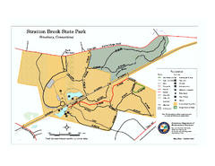
Stratton Brook State Park map
Trail map of Stratton Brook State Park in Connecticut.
6 miles away
Near simsbury, ct

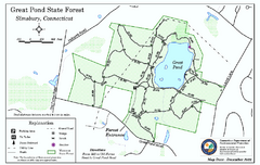
Great Pond State Park trail map
Trail map of Great Pond State Forest in Connecticut.
6 miles away
Near simsbury, ct

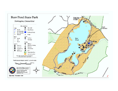
Burr Pond State Park map
Map of Burr Pond State Park in Connecticut.
8 miles away
Near torrington, ct

Talcott Mountain State Park map
Trail map of Talcott Mountain State Park in Connecticut.
9 miles away
Near avon, ct

Penwood State Park map
Trail map of Penwood State Park in Connecticut.
9 miles away
Near bloomfield, ct

 click for
 Fullsize

0 Comments
New comments have been temporarily disabled.