Silver Mountain Resort Ski Trail Map
near Wardner, Idaho, United States
View Location
Trail map from Silver Mountain Resort, which provides downhill, night, and terrain park skiing. It has 7 lifts servicing 67 runs; the longest run is 4023.3598712525'. This ski area opened in 1968, and has its own website.
See more
 See more
Nearby Maps

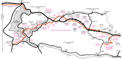
Trail of the Coeur d'Alenes Map
Shows the Trail of the Coeur d'Alenes, a 72 mile bike path that follows the Union Pacific...
11 miles away
Near Mullan, Montana

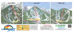
Lookout Pass Ski Trail Map
Official ski trail map of Lookout Pass ski area from the 2007-2008 season. Shows Montana, Idaho...
20 miles away
Near Mullan, ID

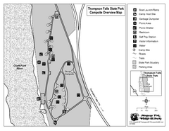
Thompson Falls State Park Map
This shaded, quiet campground is located on the Clark Fork River near the town of Thompson Falls in...
36 miles away
Near Thompson Falls State Park, MT, USA

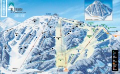
Mt. Spokane Ski Trail Map
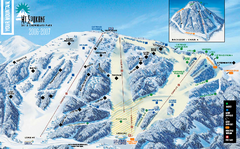
Official ski trail map of Mount Spokane ski area from the 2006-2007 season.
55 miles away
Near Newport, Washington

 click for
 Fullsize

0 Comments
New comments have been temporarily disabled.