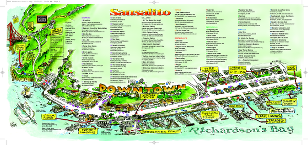
Sausalito Tourist Map
near Sausalito, California
View Location
Visitor map of Sausalito, California. Shows restaurants, shopping, and other points of interest
See more
 See more
Nearby Maps

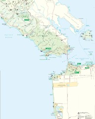
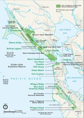
Golden Gate National Recreation Area Detail Map
2 miles away
Near San Francisco, CA

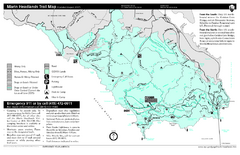
Marin Headlands Trail Map
Trail map of Marin Headlands in Marin County, California. Shows trails with distances by use type...
3 miles away

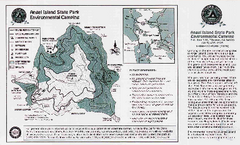
Angel Island State Park Map
Map of park with detail of trails and recreation zones
3 miles away
Near Angel Island State Park, CA

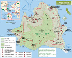
Angel Island State Park Map
Official map of Angel Island State Park in the San Francisco Bay. Shows paved and unpaved roads...
3 miles away
Near Belvedere Tiburon, California

Golden Gate National Recreation Area Area Map
3 miles away
Near san francisco

Crissy Field Map
Official NPS map of Crissy Field and vicinity in the Presidio of San Francisco, CA
4 miles away
Near Crissy Field, San Francisco, CA

 click for
 Fullsize


0 Comments
New comments have been temporarily disabled.