Edit this map

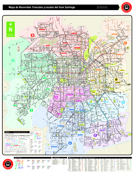
Santiago Bus and Metro Map

near Santiago, Chile

View LocationView Map

-33.4440472345124 -70.6132507324219 11 satellite
Nearest Map »  Fullsize
1.2 MBPDF

Shows bus routes and metro routes in Santiago, Chile. Shows the 10 areas of service in Santiago.

Created 8/2010
From mapas.tcs.cl

Added on
Aug 11, 2010

Rating
rated 5 by 1 person

See an error? Report it.

Keywords

transportation, bus, metro, city, train, bus, 407

0 Comments

New comments have been temporarily disabled.
.
See more

Nearby Maps

Central Santiago Street Map

Central Santiago Street Map

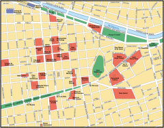
Map of central Santiago, Chile

2 miles away

rated 1 by 1 person
Near Santiago, Chile
Central Chile Tourist Map

Central Chile Tourist Map

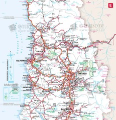
Provinces in Chile

3 miles away

Near Santiago, Chile
Keywords: tourism, calama, calama
Santiago Chile Subway Map

Santiago Chile Subway Map

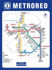
Metro Red map for the Santiago, Chile Subway.

3 miles away

Near Santiago, Chile
Keywords: transportation
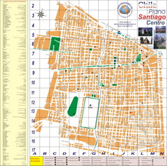
Santiago Center Map

Santiago Center Map

Street map of city center

3 miles away

Near Santiago, Chile
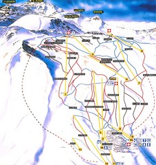
La Parva Ski Trail Map

La Parva Ski Trail Map

Trail map from La Parva. This ski area has its own website.

20 miles away

Near Región Metropolitana, Chile
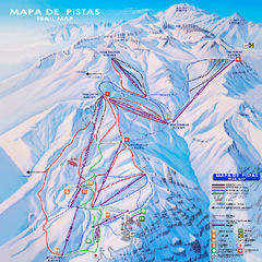
Valle Nevado Ski Trail Map

Valle Nevado Ski Trail Map

Trail map from Valle Nevado, which provides downhill and terrain park skiing. It has 11 lifts. This...

22 miles away

Near Región Metropolitana, Chile
See more