Edit this map

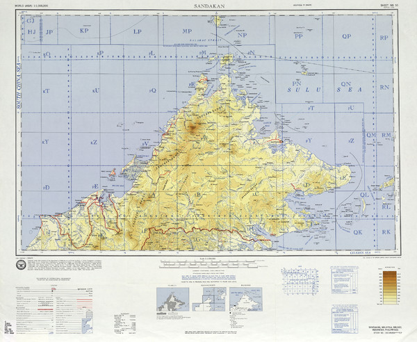
Sandakan Topo Map

near Sabah, Malaysia

View LocationView Map

5.64878567984731 116.927490234375 7 satellite
Nearest Map »  Fullsize
5000 × 41005.0 MBJPG

Topo map of region of Sabah, Malaysia

Created 1971
From lib.utexas.edu

Added on
May 12, 2010

Rating
rated 4 by 1 person

See an error? Report it.

Keywords

reference, peninsula, topo

0 Comments

New comments have been temporarily disabled.
.
See more

Nearby Maps

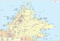
Sabah Map

Sabah Map

Map of Sabah, Malaysia

27 miles away

rated 4.25 by 4 people
Near Sabah, Malaysia
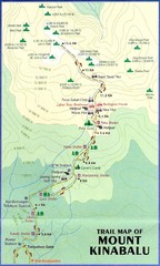
Mt Kinabalu Trail map

Mt Kinabalu Trail map

Trail map of route to summit of Mt. Kinabalu, the highest mountain in Malaysia at 4,101m. Please...

40 miles away

rated 4.5 by 2 people
Near Mt Kinabalu, Malaysia
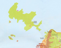
Tunku Abdul Rahman Marine Park Map

Tunku Abdul Rahman Marine Park Map

Map of the 5 islands of Tunku Abdul Rahman Marine Park in Kota Kinabalu

66 miles away

Near Gaya Island, Malaysia
Keywords: tourism, islands
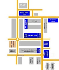
Tawau Hotel Map

Tawau Hotel Map

116 miles away

Near Tawau
Keywords: tourism, hotels, jpn
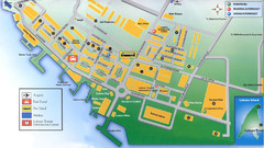
Labuan Town Tourist map

Labuan Town Tourist map

Tourist Map for the town of Labuan, Malaysia showing airports, bus stops and tourist information.

118 miles away

Near Labaun, Malaysia
Keywords: tourism
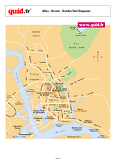
Bandar Seri Begawan Map

Bandar Seri Begawan Map

City map of capital

146 miles away

Near Bandar Seri Begawan, Brunei
Keywords: reference, city, town
See more