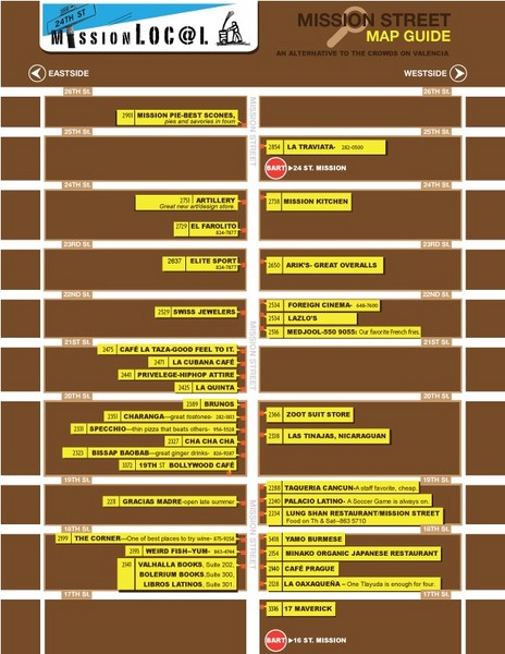
San Francisco Mission Restaurant Map
near MIssion District, San Francisco
See more
 See more
Nearby Maps

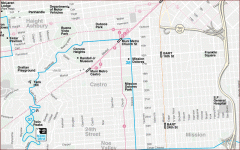
Castro, Mission, Haight-Ashbury, Noe Valley map
Tourist map of Castro, Mission, Haight-Ashbury, Noe Valley, and Twin Peaks in San Francisco
less than 1 mile away
Near castro, san francisco

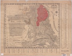
1907 San Francisco Earthquake Map
Map of areas destroyed by fire after 1906 earthquake
less than 1 mile away
Near San Francisco, CA, US

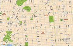
Downtown San Francisco: Castro and Noe Valley Map
Tourist map of the Castro and Noe Valley area in downtown San Francisco, California. Shows Twin...
less than 1 mile away
Near san francisco, ca

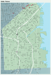
SoMa, Potrero Hill tourist map
Tourist map of SoMa and Potrero Hill in San Francisco
less than 1 mile away
Near potrero, san francisco

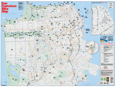
San Francisco Bike Map
Map showing bike paths, bike lanes, bike shops, public transportation, and grades of hills in San...
less than 1 mile away
Near San Francisco, CA

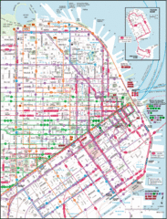
San Francisco Map
Highly detailed map of San Francisco roads and transportation.
less than 1 mile away
Near San Francisco, CA, USA

 click for
 Fullsize

0 Comments
New comments have been temporarily disabled.