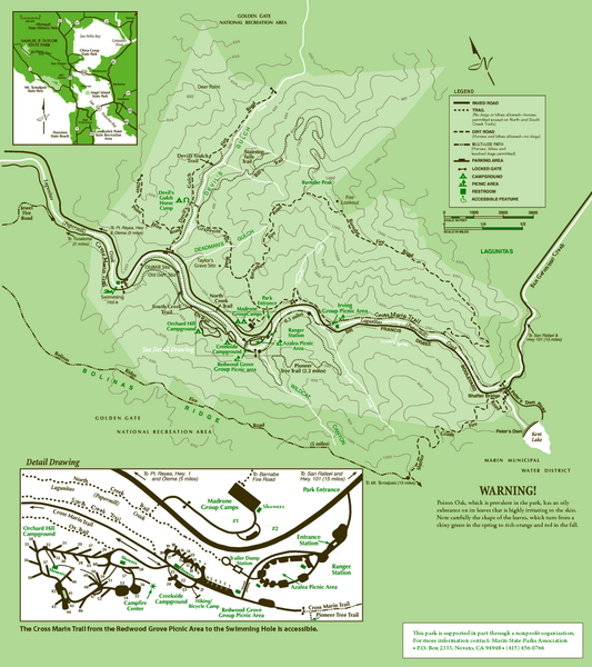
Samuel Taylor State Park Trail Map
near Samuel Taylor State Park, Lagunitas, CA 94938
View Location
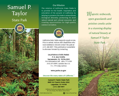
Trail map of Samuel Taylor State Park near Lagunitas, CA.
See more
 See more
Nearby Maps

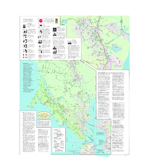
Samuel P. Taylor State Park Map
Map of park with detail of trails and recreation zones
1 mile away
Near Samuel P. Taylor State Park, Lagunitas, CA

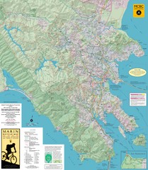
Marin Bicycle Map - Side B
Bike route map of Marin County, California. Shows primary and secondary road routes, paved and...
4 miles away
Near Marin County, California

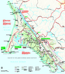
Point Reyes National Seashore Map
Official NPS map of Point Reyes National Seashore in Marin County, California. Shows trails, roads...
4 miles away
Near Point Reyes National Seashore, California

Marin, California Bike Map
5 miles away
Near Marin, CA

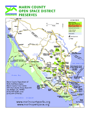
Marin Open Space Preserves Map
Shows all Open Space Preserves in Marin County, CA.
5 miles away
Near Marin County, CA

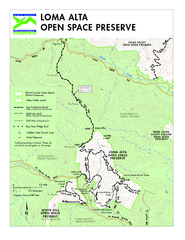
Loma Alta Preserve Map
Topographical trail map of Loma Alta Preserve in Marin County, California
6 miles away
Near Fairfax, California

 click for
 Fullsize


0 Comments
New comments have been temporarily disabled.